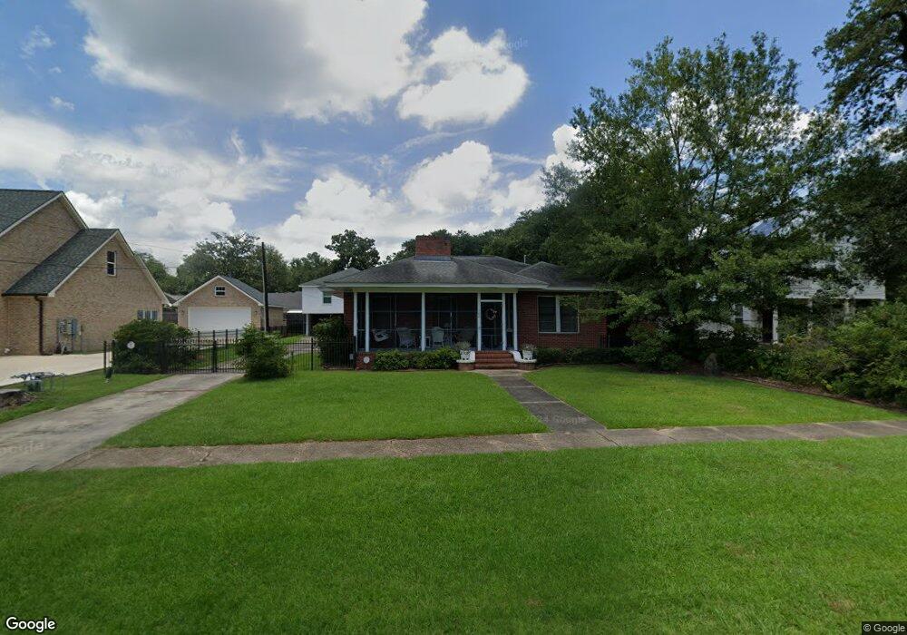
702 W Robert St Hammond, LA 70401
Estimated Value: $319,000 - $349,000
--
Bed
--
Bath
2,470
Sq Ft
$135/Sq Ft
Est. Value
About This Home
This home is located at 702 W Robert St, Hammond, LA 70401 and is currently estimated at $334,579, approximately $135 per square foot. 702 W Robert St is a home located in Tangipahoa Parish with nearby schools including Woodland Park Magnet, Greenville Park Leadership Academy, and Uxbridge Middle School.
Ownership History
Date
Name
Owned For
Owner Type
Purchase Details
Closed on
Feb 28, 2025
Sold by
Loupe Davis Janet Marie and Loupe Allen Marylee
Bought by
Wood Thomas Richard and Wood Carol Davenport
Current Estimated Value
Purchase Details
Closed on
Jul 13, 2005
Sold by
Balisteri Patrick Ray and Balisteri Susan Bonaccorso
Bought by
Loupe Betty Landry
Create a Home Valuation Report for This Property
The Home Valuation Report is an in-depth analysis detailing your home's value as well as a comparison with similar homes in the area
Home Values in the Area
Average Home Value in this Area
Purchase History
| Date | Buyer | Sale Price | Title Company |
|---|---|---|---|
| Wood Thomas Richard | $325,000 | Le Fleur De Lis Title | |
| Loupe Betty Landry | $182,500 | None Available |
Source: Public Records
Tax History Compared to Growth
Tax History
| Year | Tax Paid | Tax Assessment Tax Assessment Total Assessment is a certain percentage of the fair market value that is determined by local assessors to be the total taxable value of land and additions on the property. | Land | Improvement |
|---|---|---|---|---|
| 2024 | $1,501 | $18,130 | $4,860 | $13,270 |
| 2023 | $1,485 | $17,770 | $4,500 | $13,270 |
| 2022 | $1,485 | $17,770 | $4,500 | $13,270 |
| 2021 | $1,238 | $17,770 | $4,500 | $13,270 |
| 2020 | $1,859 | $17,770 | $4,500 | $13,270 |
| 2019 | $1,854 | $17,770 | $4,500 | $13,270 |
| 2018 | $1,859 | $17,770 | $4,500 | $13,270 |
| 2017 | $1,859 | $17,770 | $4,500 | $13,270 |
| 2016 | $1,859 | $17,770 | $4,500 | $13,270 |
| 2015 | $882 | $18,040 | $4,500 | $13,540 |
| 2014 | $840 | $18,040 | $4,500 | $13,540 |
Source: Public Records
Map
Nearby Homes
- 311 N Linden St
- 205 N Linden St
- 109 N Linden St
- 501 N Linden St
- 1003 W Michigan St
- 703 Edwin Neill Way
- 301 S General Pershing St
- 9.88 acres U S Highway 190
- 17458 Highway 190
- 2025 Highway 190
- 310 Blackburn Rd
- 312 N Oak St
- 1309 W Church St
- 204 N Scanlan St
- 19419 Chelwood Ct
- 200 N Scanlan St
- 1103 S Pine St
- 213 N Scanlan St
- 1004 S Magnolia St
- 208 N Carter St
- 700 W Robert St
- 704 W Robert St
- 610 W Robert St
- 708 W Robert St
- 701 W Robert St
- 705 W Church St
- 707 W Church St
- 703 W Robert St
- 705 W Robert St
- 710 W Robert St
- 608 W Robert St
- 609 W Robert St
- 709 W Robert St
- 607 W Robert St
- 603 W Church St
- 201 N General Pershing St
- 605 W Robert St
- 700 W Charles St
- 600 W Robert St
- 800 W Robert St