702 Windswept Ct Grapevine, TX 76051
Estimated Value: $706,000 - $772,000
3
Beds
2
Baths
3,376
Sq Ft
$219/Sq Ft
Est. Value
About This Home
This home is located at 702 Windswept Ct, Grapevine, TX 76051 and is currently estimated at $738,704, approximately $218 per square foot. 702 Windswept Ct is a home located in Tarrant County with nearby schools including Grapevine Elementary School, Heritage Middle School, and Waypoint Montessori.
Ownership History
Date
Name
Owned For
Owner Type
Purchase Details
Closed on
Mar 2, 2011
Sold by
Westhoff James E and Westhoff Mary E
Bought by
Ferris Margaret H and Ferris Joseph
Current Estimated Value
Home Financials for this Owner
Home Financials are based on the most recent Mortgage that was taken out on this home.
Original Mortgage
$100,000
Outstanding Balance
$68,515
Interest Rate
4.73%
Mortgage Type
New Conventional
Estimated Equity
$670,189
Create a Home Valuation Report for This Property
The Home Valuation Report is an in-depth analysis detailing your home's value as well as a comparison with similar homes in the area
Home Values in the Area
Average Home Value in this Area
Purchase History
| Date | Buyer | Sale Price | Title Company |
|---|---|---|---|
| Ferris Margaret H | -- | Hftc |
Source: Public Records
Mortgage History
| Date | Status | Borrower | Loan Amount |
|---|---|---|---|
| Open | Ferris Margaret H | $100,000 |
Source: Public Records
Tax History
| Year | Tax Paid | Tax Assessment Tax Assessment Total Assessment is a certain percentage of the fair market value that is determined by local assessors to be the total taxable value of land and additions on the property. | Land | Improvement |
|---|---|---|---|---|
| 2025 | $2,637 | $694,932 | $131,700 | $563,232 |
| 2024 | $2,637 | $694,932 | $131,700 | $563,232 |
| 2023 | $9,870 | $684,691 | $131,700 | $552,991 |
| 2022 | $10,604 | $567,591 | $131,700 | $435,891 |
| 2021 | $10,580 | $486,576 | $75,000 | $411,576 |
| 2020 | $10,321 | $469,242 | $75,000 | $394,242 |
| 2019 | $10,517 | $472,121 | $75,000 | $397,121 |
| 2018 | $2,493 | $419,265 | $75,000 | $344,265 |
| 2017 | $8,814 | $395,387 | $65,000 | $330,387 |
| 2016 | $8,013 | $370,710 | $65,000 | $305,710 |
| 2015 | $6,818 | $315,000 | $28,000 | $287,000 |
| 2014 | $6,818 | $329,700 | $28,000 | $301,700 |
Source: Public Records
Map
Nearby Homes
- 5147 Haydenbend Cir
- 1907 New Haven Rd
- 1901 N Port Ct
- 4366 Vineyard Creek Dr
- 1920 Waterford Dr
- 1803 Haydenbend Cir
- 4407 Eastwoods Dr
- 1937 Bear Run Dr
- 3602 Soft Wind Ct
- 346 Hill Creek Ln
- 3002 Penny Ln
- 3324 Lexington Ave
- 2608 Flameleaf Dr
- 107 Crepe Myrtle Dr
- 2918 Kathleen Ln
- 330 Harmony Hill Rd
- 326 Park Hill Ln
- 2910 Penny Ln
- 2916 Kathleen Ln
- 3601 William D Tate Ave
- 700 Windswept Ct
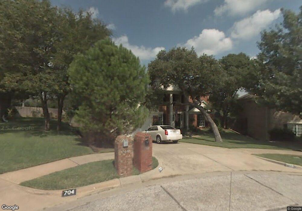
- 704 Windswept Ct
- 705 Sabel Ridge Ln
- 707 Sabel Ridge Ln
- 706 Windswept Ct
- 709 Sabel Ridge Ln
- 708 Windswept Ct
- 4315 Windswept Ln
- 710 Windswept Ct
- 4313 Windswept Ln
- 4319 Windswept Ln
- 4311 Windswept Ln
- 711 Sabel Ridge Ln
- 702 Sabel Ridge Ln
- 704 Sabel Ridge Ln
- 700 Sabel Ridge Ln
- 4321 Windswept Ln
- 4309 Windswept Ln
- 706 Sabel Ridge Ln
- 4324 Windswept Ln
Your Personal Tour Guide
Ask me questions while you tour the home.