7020 Chief Rd Peyton, CO 80831
Falcon NeighborhoodEstimated Value: $500,000 - $502,000
3
Beds
2
Baths
1,782
Sq Ft
$281/Sq Ft
Est. Value
About This Home
This home is located at 7020 Chief Rd, Peyton, CO 80831 and is currently estimated at $500,667, approximately $280 per square foot. 7020 Chief Rd is a home located in El Paso County with nearby schools including Falcon Elementary School Of Technology, Falcon Middle School, and Falcon High School.
Ownership History
Date
Name
Owned For
Owner Type
Purchase Details
Closed on
Mar 9, 1993
Bought by
Schutts Carolyn S
Current Estimated Value
Purchase Details
Closed on
Aug 1, 1991
Bought by
Schutts Carolyn S
Purchase Details
Closed on
Apr 23, 1990
Bought by
Schutts Carolyn S
Purchase Details
Closed on
Aug 24, 1988
Bought by
Schutts Carolyn S
Purchase Details
Closed on
Apr 18, 1988
Bought by
Schutts Carolyn S
Purchase Details
Closed on
Feb 1, 1988
Bought by
Schutts Carolyn S
Create a Home Valuation Report for This Property
The Home Valuation Report is an in-depth analysis detailing your home's value as well as a comparison with similar homes in the area
Home Values in the Area
Average Home Value in this Area
Purchase History
| Date | Buyer | Sale Price | Title Company |
|---|---|---|---|
| Schutts Carolyn S | $14,800 | -- | |
| Schutts Carolyn S | $6,000 | -- | |
| Schutts Carolyn S | -- | -- | |
| Schutts Carolyn S | -- | -- | |
| Schutts Carolyn S | -- | -- | |
| Schutts Carolyn S | -- | -- |
Source: Public Records
Tax History
| Year | Tax Paid | Tax Assessment Tax Assessment Total Assessment is a certain percentage of the fair market value that is determined by local assessors to be the total taxable value of land and additions on the property. | Land | Improvement |
|---|---|---|---|---|
| 2025 | $1,834 | $29,940 | -- | -- |
| 2024 | $1,247 | $29,660 | $6,620 | $23,040 |
| 2023 | $1,247 | $29,660 | $6,620 | $23,040 |
| 2022 | $682 | $16,780 | $4,490 | $12,290 |
| 2021 | $710 | $17,270 | $4,620 | $12,650 |
| 2020 | $588 | $15,490 | $3,630 | $11,860 |
| 2019 | $583 | $15,490 | $3,630 | $11,860 |
| 2018 | $864 | $12,160 | $3,310 | $8,850 |
| 2017 | $792 | $12,160 | $3,310 | $8,850 |
| 2016 | $743 | $11,270 | $3,500 | $7,770 |
| 2015 | $744 | $11,270 | $3,500 | $7,770 |
| 2014 | $710 | $10,550 | $3,250 | $7,300 |
Source: Public Records
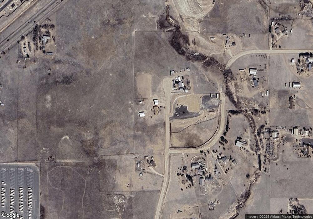
Map
Nearby Homes
- 12093 Merrill Heights
- 7394 Owings Point
- 7544 Jaoul Point
- 11856 Gorman Grove
- 11893 Trissino Heights
- 7682 Capel Point
- 11820 Pei Grove
- 6528 Watusi Rd
- 6518 Watusi Rd
- 13260 Cottontail Dr
- 7612 Bullet Rd
- 7636 Bullet Rd
- 7860 Gladwater Rd
- 7660 Bullet Rd
- 7672 Bullet Rd
- 11572 Farnese Heights
- 7514 Teocalli Point
- 12680 Catch Pen Rd
- 11485 Owl Place
- 7055 Buckboard Dr
- 7050 Chief Rd
- 6970 Chief Rd
- 12470 Pinto Pony Rd
- 12415 Pinto Pony Rd
- 6925 Chief Rd
- 12570 Pinto Pony Rd
- 12575 Pinto Pony Rd
- 6920 Chief Rd
- 12445 Rio Ln
- 12239 E Us Highway 24
- 7160 Rio Rd
- 12205 E Us Highway 24
- 12610 Pinto Pony Rd
- 6850 Chief Rd
- 13070 Monument Vista Dr Unit 36491134
- 13070 Monument Vista Dr Unit 36471089
- 13070 Monument Vista Dr Unit 36462446
- 13070 Monument Vista Dr Unit 36461697
- 13070 Monument Vista Dr Unit 36461772
- 13070 Monument Vista Dr Unit 36480586
Your Personal Tour Guide
Ask me questions while you tour the home.