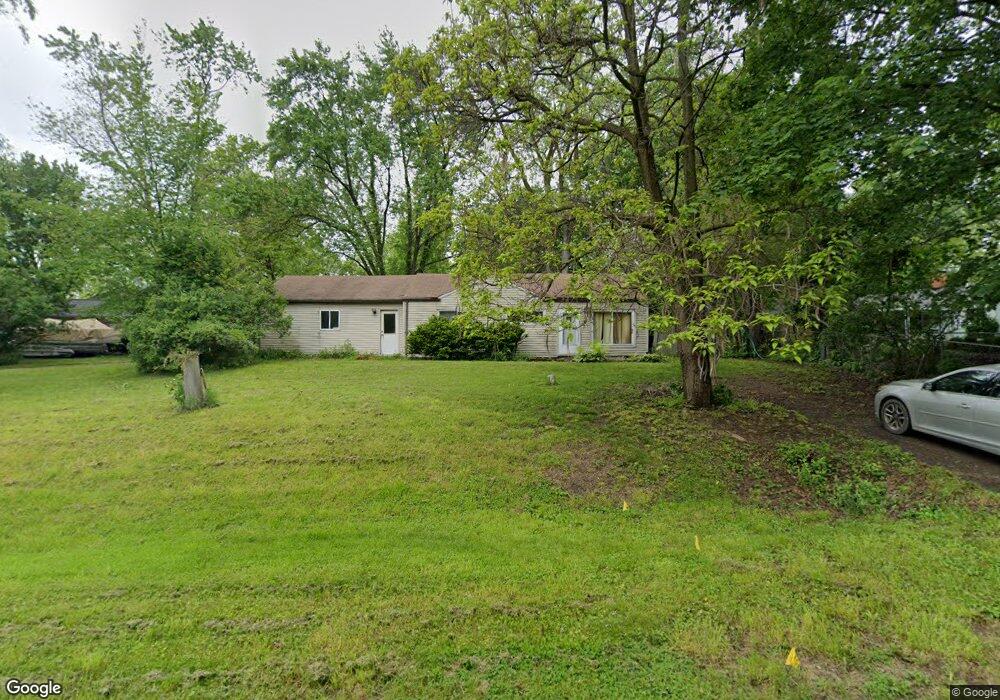
7020 Felix Dr Clarkston, MI 48346
Estimated Value: $238,080 - $281,000
3
Beds
1
Bath
995
Sq Ft
$253/Sq Ft
Est. Value
About This Home
This home is located at 7020 Felix Dr, Clarkston, MI 48346 and is currently estimated at $252,020, approximately $253 per square foot. 7020 Felix Dr is a home located in Oakland County with nearby schools including Springfield Christian Academy, Our Lady Of The Lakes Catholic School, and Everest Academy.
Ownership History
Date
Name
Owned For
Owner Type
Purchase Details
Closed on
Dec 15, 2008
Sold by
Lawrence James and Lawrence Vicki
Bought by
Lee Lawrence Christopher
Current Estimated Value
Purchase Details
Closed on
Feb 27, 2007
Sold by
Ritchie Maria
Bought by
Deutsche Bank National Trust Co
Purchase Details
Closed on
Sep 1, 2005
Sold by
Sanabria Maria and Ritchie Maria
Bought by
Sanabria Maria and Kildal Randy
Home Financials for this Owner
Home Financials are based on the most recent Mortgage that was taken out on this home.
Original Mortgage
$148,000
Interest Rate
5.93%
Mortgage Type
Fannie Mae Freddie Mac
Purchase Details
Closed on
Aug 31, 2005
Sold by
Kidal Delane P
Bought by
Ritchie Maria
Home Financials for this Owner
Home Financials are based on the most recent Mortgage that was taken out on this home.
Original Mortgage
$148,000
Interest Rate
5.93%
Mortgage Type
Fannie Mae Freddie Mac
Create a Home Valuation Report for This Property
The Home Valuation Report is an in-depth analysis detailing your home's value as well as a comparison with similar homes in the area
Home Values in the Area
Average Home Value in this Area
Purchase History
| Date | Buyer | Sale Price | Title Company |
|---|---|---|---|
| Lee Lawrence Christopher | $125,000 | Metropolitan Title Company | |
| Deutsche Bank National Trust Co | $142,200 | None Available | |
| Sanabria Maria | -- | None Available | |
| Ritchie Maria | $185,000 | Triunion Title |
Source: Public Records
Mortgage History
| Date | Status | Borrower | Loan Amount |
|---|---|---|---|
| Previous Owner | Ritchie Maria | $148,000 |
Source: Public Records
Tax History Compared to Growth
Tax History
| Year | Tax Paid | Tax Assessment Tax Assessment Total Assessment is a certain percentage of the fair market value that is determined by local assessors to be the total taxable value of land and additions on the property. | Land | Improvement |
|---|---|---|---|---|
| 2024 | $832 | $84,300 | $33,500 | $50,800 |
| 2023 | $1,122 | $74,400 | $28,100 | $46,300 |
| 2022 | $1,690 | $67,600 | $25,500 | $42,100 |
| 2021 | $1,691 | $63,900 | $23,200 | $40,700 |
| 2020 | $726 | $58,800 | $21,300 | $37,500 |
| 2018 | $1,605 | $50,200 | $13,900 | $36,300 |
| 2015 | -- | $36,600 | $0 | $0 |
| 2014 | -- | $33,500 | $0 | $0 |
| 2011 | -- | $39,100 | $0 | $0 |
Source: Public Records
Map
Nearby Homes
- 7314 Village Park Dr Unit 47
- 5021 Paula Ave
- 7509 Maple Ridge Dr
- 6832 Northcrest Way E Unit 31
- The Franklin II Plan at Park Ridge at Stonewood
- 7116 Oak Ridge Ct
- 7541 Maple Ridge Dr
- 9457 Dixie Hwy
- 6830 Dixie Hwy
- V/L Dixie Hwy
- 4973 Parview Dr
- 7513 Maple Ridge Dr
- 6940 Stonewood Place Dr
- 6920 Stonewood Place Unit 42
- 6944 Stonewood Place Unit 36
- 7950 Clement Rd
- 7490 Andersonville Rd
- 6788 Balmoral Terrace
- 7500 Dixie Hwy
- 6024 Overlook