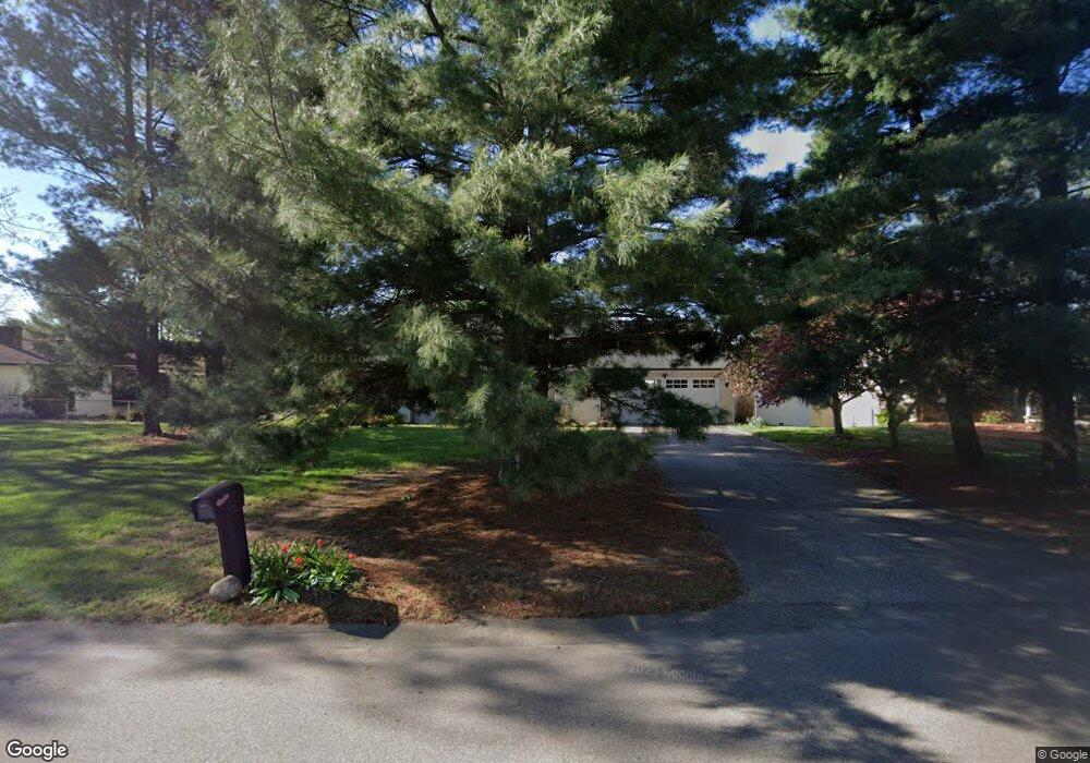
7025 Michael Dr Hudsonville, MI 49426
Estimated Value: $374,574 - $398,000
4
Beds
3
Baths
1,960
Sq Ft
$196/Sq Ft
Est. Value
About This Home
This home is located at 7025 Michael Dr, Hudsonville, MI 49426 and is currently estimated at $383,644, approximately $195 per square foot. 7025 Michael Dr is a home located in Ottawa County with nearby schools including Baldwin Street Middle School, Hudsonville Freshman Campus, and Hudsonville High School.
Ownership History
Date
Name
Owned For
Owner Type
Purchase Details
Closed on
Mar 16, 2018
Sold by
Nunez Anne M and Nunez Anthony J
Bought by
Nunez Anne M and Anne M Nunez Discretionary Tru
Current Estimated Value
Purchase Details
Closed on
Oct 16, 2009
Sold by
Maurice Michael P and Maurice Kimberly S
Bought by
Nunez Anthony J and Nunez Anne M
Home Financials for this Owner
Home Financials are based on the most recent Mortgage that was taken out on this home.
Original Mortgage
$147,283
Outstanding Balance
$96,272
Interest Rate
5.1%
Mortgage Type
FHA
Estimated Equity
$287,372
Create a Home Valuation Report for This Property
The Home Valuation Report is an in-depth analysis detailing your home's value as well as a comparison with similar homes in the area
Home Values in the Area
Average Home Value in this Area
Purchase History
| Date | Buyer | Sale Price | Title Company |
|---|---|---|---|
| Nunez Anne M | -- | None Available | |
| Nunez Anthony J | $150,000 | None Available |
Source: Public Records
Mortgage History
| Date | Status | Borrower | Loan Amount |
|---|---|---|---|
| Open | Nunez Anthony J | $147,283 |
Source: Public Records
Tax History Compared to Growth
Tax History
| Year | Tax Paid | Tax Assessment Tax Assessment Total Assessment is a certain percentage of the fair market value that is determined by local assessors to be the total taxable value of land and additions on the property. | Land | Improvement |
|---|---|---|---|---|
| 2025 | $2,479 | $155,400 | $0 | $0 |
| 2024 | $2,145 | $142,400 | $0 | $0 |
| 2023 | $2,049 | $135,600 | $0 | $0 |
| 2022 | $2,252 | $120,200 | $0 | $0 |
| 2021 | $2,053 | $110,100 | $0 | $0 |
| 2020 | $2,031 | $98,000 | $0 | $0 |
| 2019 | $2,034 | $94,900 | $0 | $0 |
| 2018 | $1,896 | $90,600 | $0 | $0 |
| 2017 | $1,862 | $90,000 | $0 | $0 |
| 2016 | $1,851 | $83,800 | $0 | $0 |
| 2015 | $1,767 | $79,600 | $0 | $0 |
| 2014 | $1,767 | $69,900 | $0 | $0 |
Source: Public Records
Map
Nearby Homes
- 2921 N Wentward Ct
- 6760 N Wentward Ct
- 7313 Valhalla Dr
- 7381 Rolling Hills Dr
- 6714 Cedar Grove W
- 2698 Cedargrove N
- 6724 28th Ave
- 3204 Port Sheldon St
- V/L Port Sheldon St
- 2323 Rosewood St
- 3528 Tearose Dr
- 3544 Nobb Hill Dr
- 6340 Summer Dr
- 2194 Oak Hollow Dr
- 2682 Thrush Dr
- 7490 N Garden Ct
- 3617 Teton Dr
- 7342 Cherry Ave
- 2934 Parkside Dr Unit 54
- 2101 Rosewood St
- 7035 Michael Dr
- 7035 Kevin Ct
- 2907 Rosewood St
- 2921 Rosewood St
- 2881 Rosewood St
- 7030 Michael Dr
- 2883 Michael Dr
- 2883 Michael Ct
- 2933 Rosewood St
- 7045 Michael Dr
- 7030 Kevin Ct
- 7044 Kevin Ct
- 7053 Michael Dr
- 7077 Kevin Ct
- 7080 Michael Dr
- 2951 Rosewood St
- 7056 Kevin Ct
- 2892 Rosewood St
- 2920 Rosewood St
- 2920 Rosewood St