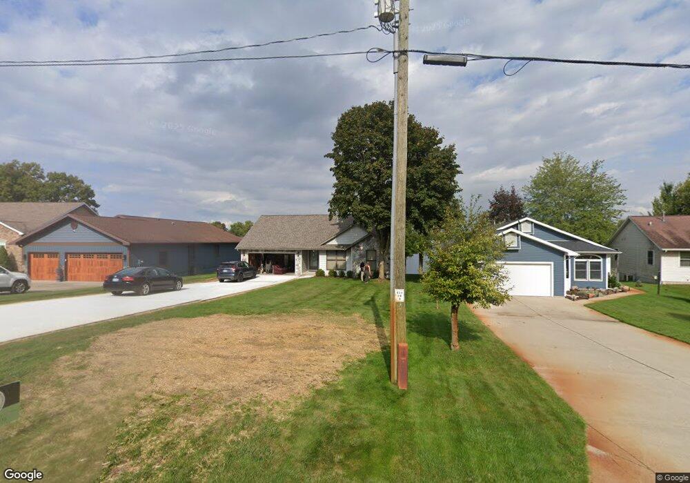
7026 Southwest Dr Unit 900 Stanwood, MI 49346
Estimated Value: $493,000 - $559,000
4
Beds
3
Baths
1,438
Sq Ft
$365/Sq Ft
Est. Value
About This Home
This home is located at 7026 Southwest Dr Unit 900, Stanwood, MI 49346 and is currently estimated at $524,907, approximately $365 per square foot. 7026 Southwest Dr Unit 900 is a home located in Mecosta County with nearby schools including Chippewa Hills High School.
Ownership History
Date
Name
Owned For
Owner Type
Purchase Details
Closed on
Sep 22, 2011
Sold by
Heerdt David K and Heerdt Rosemary P
Bought by
The David K & Rosemary P Heerdt Trust
Current Estimated Value
Home Financials for this Owner
Home Financials are based on the most recent Mortgage that was taken out on this home.
Original Mortgage
$164,500
Outstanding Balance
$112,001
Interest Rate
4.14%
Mortgage Type
New Conventional
Estimated Equity
$412,906
Purchase Details
Closed on
Aug 6, 2004
Sold by
Stachelski Dennis and Stachelski Mary
Bought by
Stachelski Dennis and Stachelski Mary
Home Financials for this Owner
Home Financials are based on the most recent Mortgage that was taken out on this home.
Original Mortgage
$156,000
Interest Rate
3.87%
Mortgage Type
New Conventional
Create a Home Valuation Report for This Property
The Home Valuation Report is an in-depth analysis detailing your home's value as well as a comparison with similar homes in the area
Home Values in the Area
Average Home Value in this Area
Purchase History
| Date | Buyer | Sale Price | Title Company |
|---|---|---|---|
| The David K & Rosemary P Heerdt Trust | -- | Grand Rapids Title Company | |
| Heerdt David K | $239,500 | Grand Rapids Title Company | |
| Stachelski Dennis | -- | Title Source Inc | |
| Stachelski Dennis | -- | Title Source Inc |
Source: Public Records
Mortgage History
| Date | Status | Borrower | Loan Amount |
|---|---|---|---|
| Open | Heerdt David K | $164,500 | |
| Previous Owner | Stachelski Dennis | $156,000 |
Source: Public Records
Tax History Compared to Growth
Tax History
| Year | Tax Paid | Tax Assessment Tax Assessment Total Assessment is a certain percentage of the fair market value that is determined by local assessors to be the total taxable value of land and additions on the property. | Land | Improvement |
|---|---|---|---|---|
| 2025 | $5,531 | $254,900 | $0 | $0 |
| 2024 | -- | $239,300 | $0 | $0 |
| 2023 | -- | $188,000 | $0 | $0 |
| 2022 | $0 | $164,600 | $0 | $0 |
| 2021 | -- | $159,900 | $0 | $0 |
| 2020 | -- | -- | $0 | $0 |
| 2019 | -- | -- | $0 | $0 |
| 2018 | -- | -- | $0 | $0 |
| 2017 | -- | -- | $0 | $0 |
| 2016 | -- | -- | $0 | $0 |
| 2014 | -- | -- | $0 | $0 |
| 2013 | -- | -- | $0 | $0 |
Source: Public Records
Map
Nearby Homes
- 11747 New Castle Dr Unit 13
- 11517 Pine Crest Dr
- 11585 Port Stewart Dr Unit 5
- 11623 Port Stewart Dr Unit 6
- 7350 Holiday Dr Unit 593
- 7574 9th St
- 7140 Holiday Dr
- 6878 Bantry Bay Ct Unit 3
- 6897 Abbey Ln
- TBD W Royal Rd Unit 2
- TBD W Royal Rd
- 6511 Dublin Dr
- 10905 1st St
- 10849 1st St
- 7914 W Royal Rd
- 6195 110th Ave
- 7988 Island Ct
- 6485 Dunhill Dr
- 7785 Court b
- 8135 Island Ct
- 7026 Southwest Dr
- 7036 Southwest Dr
- 7036 Southwest Dr Unit 901
- 7038 Southwest Dr
- 7042 Southwest Dr
- 7042 Southwest Dr Unit 903
- 7261 Southwest Dr
- 7186 Southwest Dr
- 7170 Southwest Dr
- 7202 Southwest Dr
- 7249 Southwest Dr
- 11474 S Lookout Ridge
- 11463 Lookout Ridge
- 11430 N Lookout Ridge
- 11440 N Lookout Ridge
- 11430 N Lookout Ridge Unit 940
- 11450 N Lookout Ridge
- 7224 Southwest Dr
- 11485 S Lookout Ridge
- 11507 N Lookout Ridge