7027 State Route 14 Ravenna, OH 44266
Estimated Value: $319,000 - $376,000
3
Beds
2
Baths
1,940
Sq Ft
$177/Sq Ft
Est. Value
About This Home
This home is located at 7027 State Route 14, Ravenna, OH 44266 and is currently estimated at $343,403, approximately $177 per square foot. 7027 State Route 14 is a home located in Portage County with nearby schools including West Park Elementary School, Brown Middle School, and Ravenna High School.
Ownership History
Date
Name
Owned For
Owner Type
Purchase Details
Closed on
Apr 5, 2024
Sold by
Wise Jacob W
Bought by
Wise Richard P
Current Estimated Value
Home Financials for this Owner
Home Financials are based on the most recent Mortgage that was taken out on this home.
Original Mortgage
$120,000
Outstanding Balance
$118,227
Interest Rate
6.94%
Mortgage Type
New Conventional
Estimated Equity
$225,176
Purchase Details
Closed on
Feb 24, 2006
Sold by
Wise Elizabeth M
Bought by
Wise Richard P
Purchase Details
Closed on
Mar 2, 1994
Bought by
Wise Richard P
Create a Home Valuation Report for This Property
The Home Valuation Report is an in-depth analysis detailing your home's value as well as a comparison with similar homes in the area
Home Values in the Area
Average Home Value in this Area
Purchase History
| Date | Buyer | Sale Price | Title Company |
|---|---|---|---|
| Wise Richard P | -- | None Listed On Document | |
| Wise Richard P | -- | None Available | |
| Wise Richard P | $19,000 | -- |
Source: Public Records
Mortgage History
| Date | Status | Borrower | Loan Amount |
|---|---|---|---|
| Open | Wise Richard P | $120,000 |
Source: Public Records
Tax History Compared to Growth
Tax History
| Year | Tax Paid | Tax Assessment Tax Assessment Total Assessment is a certain percentage of the fair market value that is determined by local assessors to be the total taxable value of land and additions on the property. | Land | Improvement |
|---|---|---|---|---|
| 2024 | $4,528 | $103,330 | $12,920 | $90,410 |
| 2023 | $4,418 | $86,210 | $10,890 | $75,320 |
| 2022 | $4,399 | $86,210 | $10,890 | $75,320 |
| 2021 | $4,387 | $86,210 | $10,890 | $75,320 |
| 2020 | $3,897 | $67,520 | $10,890 | $56,630 |
| 2019 | $3,899 | $67,520 | $10,890 | $56,630 |
| 2018 | $3,578 | $58,770 | $9,490 | $49,280 |
| 2017 | $3,578 | $58,770 | $9,490 | $49,280 |
| 2016 | $3,274 | $58,770 | $9,490 | $49,280 |
| 2015 | $3,278 | $58,770 | $9,490 | $49,280 |
| 2014 | $3,055 | $54,290 | $9,490 | $44,800 |
| 2013 | $3,037 | $54,290 | $9,490 | $44,800 |
Source: Public Records
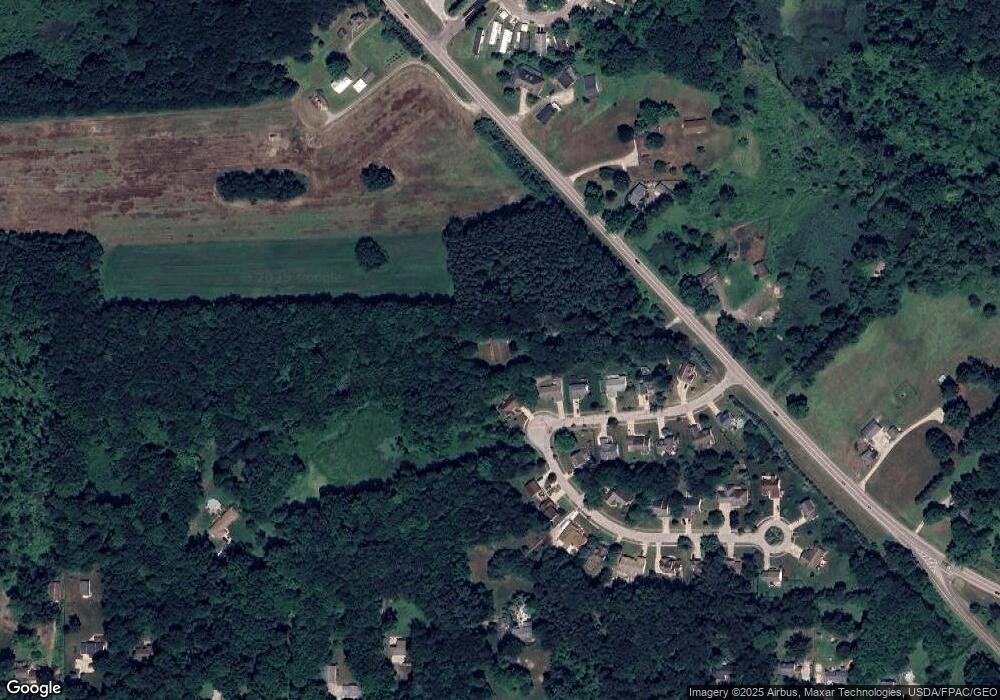
Map
Nearby Homes
- 7219 Birchview Dr W Unit 19
- 3487 Lovers Ln
- 6704 Wall St
- 7319 Infirmary Rd
- 6560 Red Brush Rd
- 3461 Mabel Ave
- 6768 Terrill St
- 6615 Cleveland Rd Unit K2
- 0 Sumner St
- 6388 Marchinn Dr
- 3027 Brady Lake Rd
- 6311 Roselawn Ave
- 2660 Dawley Rd
- 2646 Dawley Rd
- 3505 Ohio 59 Unit 105
- 3505 Ohio 59 Unit 166
- 3505 Ohio 59 Unit 46
- 6972 State Route 44
- 6942 State Route 44
- 3279 State Route 59
- 3287 Pine Ridge Dr
- 3299 Pine Ridge Dr
- 3307 Pine Ridge Dr
- 6990 White Pine Dr
- 3315 Pine Ridge Dr
- 3312 Pine Ridge Dr
- 6982 White Pine Dr
- 3323 Pine Ridge Dr
- 3320 Pine Ridge Dr
- 3335 Pine Ridge Dr
- 3328 Pine Ridge Dr
- 7064 State Route 14
- 6967 White Pine Dr
- 3334 Pine Ridge Dr
- 6974 White Pine Dr
- 6953 White Pine Dr
- 6966 White Pine Dr
- 7108 State Route 14
- 7076 State Route 14
- 6958 White Pine Dr