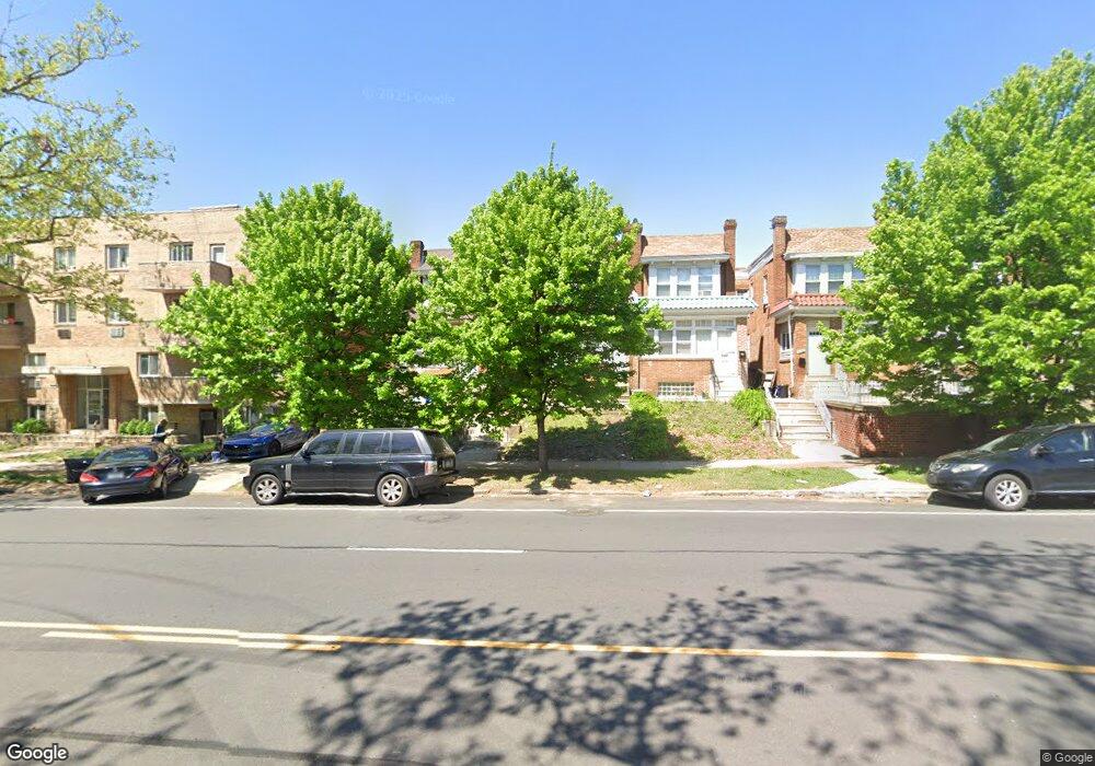
7028 N Broad St Philadelphia, PA 19126
West Oak Lane NeighborhoodEstimated Value: $276,000 - $342,000
--
Bed
--
Bath
1,900
Sq Ft
$162/Sq Ft
Est. Value
About This Home
This home is located at 7028 N Broad St, Philadelphia, PA 19126 and is currently estimated at $307,822, approximately $162 per square foot. 7028 N Broad St is a home located in Philadelphia County with nearby schools including Ellwood School, Gen. Louis Wagner Middle School, and Martin Luther King High School.
Ownership History
Date
Name
Owned For
Owner Type
Purchase Details
Closed on
Apr 25, 2008
Sold by
Lawrence Millicent and Pierre Desulien
Bought by
Thomas Isaiah
Current Estimated Value
Home Financials for this Owner
Home Financials are based on the most recent Mortgage that was taken out on this home.
Original Mortgage
$139,790
Interest Rate
6.1%
Mortgage Type
FHA
Create a Home Valuation Report for This Property
The Home Valuation Report is an in-depth analysis detailing your home's value as well as a comparison with similar homes in the area
Home Values in the Area
Average Home Value in this Area
Purchase History
| Date | Buyer | Sale Price | Title Company |
|---|---|---|---|
| Thomas Isaiah | $139,790 | None Available |
Source: Public Records
Mortgage History
| Date | Status | Borrower | Loan Amount |
|---|---|---|---|
| Previous Owner | Thomas Isaiah | $139,790 |
Source: Public Records
Tax History Compared to Growth
Tax History
| Year | Tax Paid | Tax Assessment Tax Assessment Total Assessment is a certain percentage of the fair market value that is determined by local assessors to be the total taxable value of land and additions on the property. | Land | Improvement |
|---|---|---|---|---|
| 2025 | $2,577 | $254,100 | $50,820 | $203,280 |
| 2024 | $2,577 | $254,100 | $50,820 | $203,280 |
| 2023 | $2,577 | $184,100 | $36,820 | $147,280 |
| 2022 | $2,256 | $184,100 | $36,820 | $147,280 |
| 2021 | $2,256 | $0 | $0 | $0 |
| 2020 | $2,256 | $0 | $0 | $0 |
| 2019 | $2,227 | $0 | $0 | $0 |
| 2018 | $1,949 | $0 | $0 | $0 |
| 2017 | $1,949 | $0 | $0 | $0 |
| 2016 | $1,949 | $0 | $0 | $0 |
| 2015 | $1,699 | $0 | $0 | $0 |
| 2014 | -- | $126,800 | $16,227 | $110,573 |
| 2012 | -- | $14,720 | $2,869 | $11,851 |
Source: Public Records
Map
Nearby Homes
- 1405 71st Ave
- 1306 W Cheltenham Ave
- 7323 School Ln
- 7302 Keenan St
- 7309 Sycamore Ave
- 1616 Haines St
- 7316 Pittville Ave
- 1 Latham Park
- 1642 Haines St
- 1810 72nd Ave
- 6738 N Carlisle St
- 6737 N Sydenham St
- 1825 Dallas St
- 6728 30 Old York Rd
- 1203 68th Ave
- 6943 N 19th St
- 6803 N 12th St
- 7153 N 19th St
- 1815 Elston St
- 27 Latham Park Unit 15
- 7026 N Broad St
- 7030 N Broad St
- 7032 N Broad St
- 7034 N Broad St Unit 2
- 7034 N Broad St
- 7034 N Broad St Unit BASEMENT
- 7034 N Broad St Unit 1ST FLOOR
- 7034 N Broad St Unit LOWER LEVEL
- 7034 N Broad St Unit 2ND FLOOR
- 7034 N Broad St Unit B
- 7036 N Broad St
- 7020 N Broad St
- 7020 N Broad St
- 7038 N Broad St
- 7040 N Broad St
- 7042 N Broad St
- 7044 N Broad St Unit 1ST FL
- 7044 N Broad St Unit 2ND BK
- 7044 N Broad St Unit 2ND FL
- 7044 N Broad St