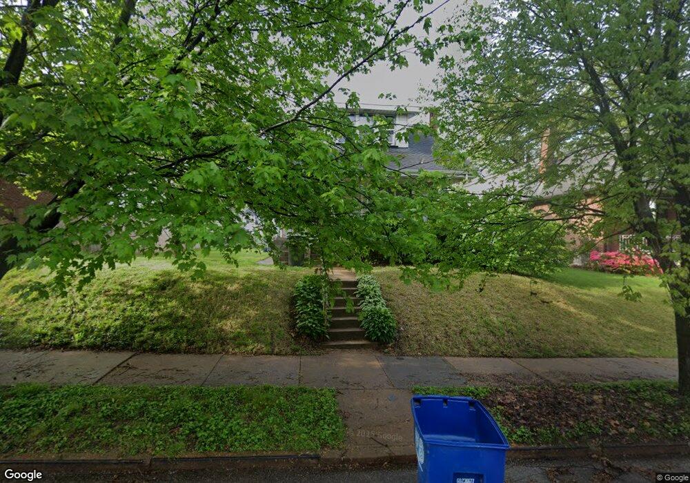
7028 Oleatha Ave Saint Louis, MO 63139
Lindenwood Park NeighborhoodEstimated Value: $213,000 - $246,000
2
Beds
2
Baths
1,350
Sq Ft
$169/Sq Ft
Est. Value
About This Home
This home is located at 7028 Oleatha Ave, Saint Louis, MO 63139 and is currently estimated at $228,027, approximately $168 per square foot. 7028 Oleatha Ave is a home located in St. Louis City with nearby schools including Mason Elementary School, Long International Middle School, and Roosevelt High School.
Ownership History
Date
Name
Owned For
Owner Type
Purchase Details
Closed on
Apr 21, 2009
Sold by
Harmon Michael F and Harmon Geraldine
Bought by
Nerviani James B and Nerviani Jennafier A
Current Estimated Value
Home Financials for this Owner
Home Financials are based on the most recent Mortgage that was taken out on this home.
Original Mortgage
$101,134
Outstanding Balance
$64,241
Interest Rate
5.03%
Mortgage Type
FHA
Estimated Equity
$163,786
Purchase Details
Closed on
Apr 9, 2004
Sold by
Harmon Michael F
Bought by
Harmor Michael F
Create a Home Valuation Report for This Property
The Home Valuation Report is an in-depth analysis detailing your home's value as well as a comparison with similar homes in the area
Home Values in the Area
Average Home Value in this Area
Purchase History
| Date | Buyer | Sale Price | Title Company |
|---|---|---|---|
| Nerviani James B | -- | None Available | |
| Harmor Michael F | -- | -- |
Source: Public Records
Mortgage History
| Date | Status | Borrower | Loan Amount |
|---|---|---|---|
| Open | Nerviani James B | $101,134 |
Source: Public Records
Tax History Compared to Growth
Tax History
| Year | Tax Paid | Tax Assessment Tax Assessment Total Assessment is a certain percentage of the fair market value that is determined by local assessors to be the total taxable value of land and additions on the property. | Land | Improvement |
|---|---|---|---|---|
| 2025 | $1,954 | $27,040 | $2,850 | $24,190 |
| 2024 | $1,859 | $23,010 | $2,850 | $20,160 |
| 2023 | $1,859 | $23,010 | $2,850 | $20,160 |
| 2022 | $1,779 | $21,180 | $2,850 | $18,330 |
| 2021 | $1,776 | $21,180 | $2,850 | $18,330 |
| 2020 | $1,614 | $19,360 | $2,850 | $16,510 |
| 2019 | $1,608 | $19,360 | $2,850 | $16,510 |
| 2018 | $1,375 | $16,000 | $2,620 | $13,380 |
| 2017 | $1,352 | $16,000 | $2,620 | $13,380 |
| 2016 | $1,272 | $14,840 | $2,620 | $12,220 |
| 2015 | $1,154 | $14,840 | $2,620 | $12,220 |
| 2014 | $1,109 | $14,840 | $2,620 | $12,220 |
| 2013 | -- | $14,250 | $2,620 | $11,630 |
Source: Public Records
Map
Nearby Homes
- 7038 Pernod Ave
- 7047 Tholozan Ave
- 3558 Wabash Ave
- 3815 Mccausland Ave Unit 4
- 6811 Marquette Ave
- 6973 Winona Ave
- 6953 Arthur Ave
- 7081 Winona Ave
- 6656 Oleatha Ave
- 6659 Tholozan Ave
- 6631 Pernod Ave
- 3308 Jamieson Ave
- 7081 Bancroft Ave
- 7114 Drury Ln
- 6621 Tholozan Ave
- 6611 Pernod Ave
- 7127 Bancroft Ave
- 7114 Bancroft Ave
- 7120 Bancroft Ave
- 6653 Hancock Ave
- 7020 Oleatha Ave
- 7032 Oleatha Ave
- 7038 Oleatha Ave
- 7016 Oleatha Ave
- 7042 Oleatha Ave
- 7012 Oleatha Ave
- 7023 Pernod Ave
- 7019 Pernod Ave
- 7008 Oleatha Ave
- 7046 Oleatha Ave
- 7037 Pernod Ave
- 7013 Pernod Ave
- 7027 Oleatha Ave
- 7033 Oleatha Ave
- 7023 Oleatha Ave
- 7029 Pernod Ave
- 7043 Pernod Ave
- 7039 Oleatha Ave
- 7019 Oleatha Ave
- 7052 Oleatha Ave