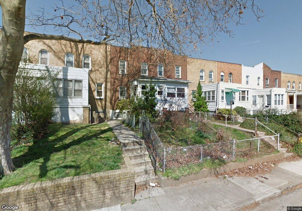
7029 Clinton Rd Upper Darby, PA 19082
Estimated Value: $107,000 - $121,149
2
Beds
1
Bath
818
Sq Ft
$139/Sq Ft
Est. Value
About This Home
This home is located at 7029 Clinton Rd, Upper Darby, PA 19082 and is currently estimated at $113,537, approximately $138 per square foot. 7029 Clinton Rd is a home located in Delaware County with nearby schools including Upper Darby High School, Vision Academy Charter School, and Lansdowne Friends School.
Ownership History
Date
Name
Owned For
Owner Type
Purchase Details
Closed on
Aug 7, 2014
Sold by
Turney Owen and Turney Elinor
Bought by
Salimullah Faruque
Current Estimated Value
Create a Home Valuation Report for This Property
The Home Valuation Report is an in-depth analysis detailing your home's value as well as a comparison with similar homes in the area
Home Values in the Area
Average Home Value in this Area
Purchase History
| Date | Buyer | Sale Price | Title Company |
|---|---|---|---|
| Salimullah Faruque | $6,773 | None Available |
Source: Public Records
Tax History Compared to Growth
Tax History
| Year | Tax Paid | Tax Assessment Tax Assessment Total Assessment is a certain percentage of the fair market value that is determined by local assessors to be the total taxable value of land and additions on the property. | Land | Improvement |
|---|---|---|---|---|
| 2025 | $2,498 | $59,060 | $13,780 | $45,280 |
| 2024 | $2,498 | $59,060 | $13,780 | $45,280 |
| 2023 | $2,474 | $59,060 | $13,780 | $45,280 |
| 2022 | $2,408 | $59,060 | $13,780 | $45,280 |
| 2021 | $3,246 | $59,060 | $13,780 | $45,280 |
| 2020 | $2,137 | $33,040 | $12,530 | $20,510 |
| 2019 | $2,100 | $33,040 | $12,530 | $20,510 |
| 2018 | $2,076 | $33,040 | $0 | $0 |
| 2017 | $2,022 | $33,040 | $0 | $0 |
| 2016 | $185 | $33,040 | $0 | $0 |
| 2015 | $185 | $33,040 | $0 | $0 |
| 2014 | $185 | $33,040 | $0 | $0 |
Source: Public Records
Map
Nearby Homes
- 7155 Radbourne Rd
- 7042 Clinton Rd
- 7162 Radbourne Rd
- 607 Littlecroft Rd
- 660 Copley Rd
- 669 Long Ln
- 6997 Guilford Rd
- 726 Copley Rd
- 7216 Clinton Rd
- 7229 Clinton Rd
- 7046 Radbourne Rd
- 558 Snowden Rd
- 540 Snowden Rd
- 535 Glendale Rd
- 7129 Seaford Rd
- 7181 Ruskin Ln
- 7123 Seaford Rd
- 404 Croyden Rd
- 513 Woodcliffe Rd
- 506 Hampden Rd
- 7031 Clinton Rd
- 7027 Clinton Rd
- 7033 Clinton Rd
- 7025 Clinton Rd
- 7035 Clinton Rd
- 7023 Clinton Rd
- 7037 Clinton Rd
- 7021 Clinton Rd
- 7028 Aberdeen Rd
- 7026 Aberdeen Rd
- 7039 Clinton Rd
- 7030 Aberdeen Rd
- 7024 Aberdeen Rd
- 7019 Clinton Rd
- 7032 Aberdeen Rd
- 7022 Aberdeen Rd
- 7034 Aberdeen Rd
- 7041 Clinton Rd
- 7020 Aberdeen Rd
- 7017 Clinton Rd