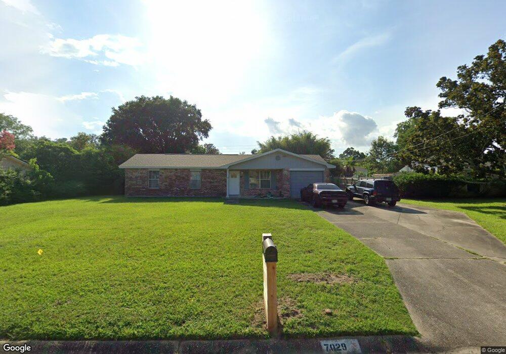
7029 Forshalee St Pensacola, FL 32503
Estimated Value: $179,000 - $242,000
--
Bed
2
Baths
1,118
Sq Ft
$186/Sq Ft
Est. Value
About This Home
This home is located at 7029 Forshalee St, Pensacola, FL 32503 and is currently estimated at $207,393, approximately $185 per square foot. 7029 Forshalee St is a home located in Escambia County with nearby schools including Holm Elementary School, Ferry Pass Middle School, and Booker T. Washington High School.
Ownership History
Date
Name
Owned For
Owner Type
Purchase Details
Closed on
Aug 30, 2019
Sold by
Stoner James M
Bought by
Stoner James M and Malone Garret T
Current Estimated Value
Purchase Details
Closed on
Apr 29, 2003
Sold by
Bentintrust Mgmt L L C
Bought by
Stoner James M and Stoner Kathleen C
Home Financials for this Owner
Home Financials are based on the most recent Mortgage that was taken out on this home.
Original Mortgage
$52,000
Outstanding Balance
$22,715
Interest Rate
5.86%
Mortgage Type
Purchase Money Mortgage
Estimated Equity
$184,678
Create a Home Valuation Report for This Property
The Home Valuation Report is an in-depth analysis detailing your home's value as well as a comparison with similar homes in the area
Home Values in the Area
Average Home Value in this Area
Purchase History
| Date | Buyer | Sale Price | Title Company |
|---|---|---|---|
| Stoner James M | -- | None Available | |
| Stoner James M | $65,000 | -- |
Source: Public Records
Mortgage History
| Date | Status | Borrower | Loan Amount |
|---|---|---|---|
| Open | Stoner James M | $52,000 |
Source: Public Records
Tax History Compared to Growth
Tax History
| Year | Tax Paid | Tax Assessment Tax Assessment Total Assessment is a certain percentage of the fair market value that is determined by local assessors to be the total taxable value of land and additions on the property. | Land | Improvement |
|---|---|---|---|---|
| 2024 | $970 | $107,081 | -- | -- |
| 2023 | $970 | $103,963 | $0 | $0 |
| 2022 | $940 | $100,935 | $0 | $0 |
| 2021 | $931 | $97,996 | $0 | $0 |
| 2020 | $909 | $96,643 | $0 | $0 |
| 2019 | $1,393 | $92,264 | $0 | $0 |
| 2018 | $1,341 | $86,707 | $0 | $0 |
| 2017 | $1,291 | $81,386 | $0 | $0 |
| 2016 | $1,281 | $79,275 | $0 | $0 |
| 2015 | $1,235 | $76,604 | $0 | $0 |
| 2014 | $1,185 | $73,250 | $0 | $0 |
Source: Public Records
Map
Nearby Homes
- 7000 Forshalee St
- 6970 Rhoda St
- 6235 Confederate Dr
- 6269 Confederate Dr
- 112 Redbreast Ln
- 6220 Appomattox Dr
- 6206 Lucy St
- 129 Redbreast Ln
- 7116 Dale St
- 110 Gettysburg Dr
- 6208 Brosnaham Ave
- 6227 Vicksburg Dr
- 7117 Dale St
- 6337 Parakeet Trail
- 118 Czar Ln
- 6702 White Oak Dr
- 5921 Count Rd
- 6802 Tiki Ln
- 6356 Parakeet Trail
- 112 Myrtlewood Dr
- 7019 Forshalee St
- 7039 Forshalee St
- 0 Forshalee St
- 7040 NE Oakfield Rd
- 7030 NE Oakfield Rd
- 7050 NE Oakfield Rd
- 7009 Forshalee St
- 7020 NE Oakfield Rd
- 6960 Forshalee St
- 6950 Forshalee St
- 7060 NE Oakfield Rd
- 7049 Forshalee St
- 7018 Forshalee St
- 7010 NE Oakfield Rd
- 7008 Forshalee St
- 7005 Forshalee St
- 435 E Oakfield Rd
- 7059 Forshalee St
- 7000 NE Oakfield Rd
- 7058 Forshalee St