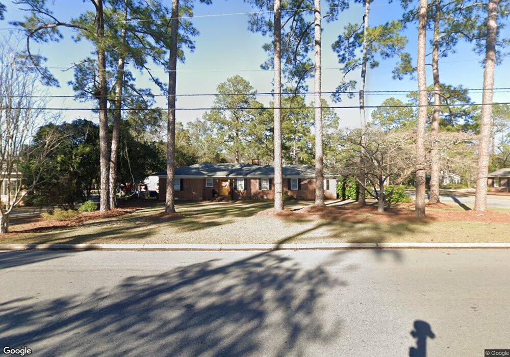
703 12th St W Tifton, GA 31794
Estimated Value: $210,000 - $242,000
3
Beds
2
Baths
1,638
Sq Ft
$141/Sq Ft
Est. Value
About This Home
This home is located at 703 12th St W, Tifton, GA 31794 and is currently estimated at $230,312, approximately $140 per square foot. 703 12th St W is a home located in Tift County with nearby schools including Len Lastinger Primary School, Charles Spencer Elementary School, and J.T. Reddick School.
Ownership History
Date
Name
Owned For
Owner Type
Purchase Details
Closed on
Jul 27, 2015
Sold by
William C Byrd Rentals Llc
Bought by
William C Byrd Properties Of T
Current Estimated Value
Purchase Details
Closed on
Aug 8, 2011
Sold by
Mallory Lawson S
Bought by
William C Byrd Rentals Llc
Home Financials for this Owner
Home Financials are based on the most recent Mortgage that was taken out on this home.
Original Mortgage
$67,546
Interest Rate
4.62%
Mortgage Type
Future Advance Clause Open End Mortgage
Purchase Details
Closed on
Aug 26, 1952
Sold by
Moore Roxie M
Bought by
Mallory Lawson Mrs Aka Smith
Create a Home Valuation Report for This Property
The Home Valuation Report is an in-depth analysis detailing your home's value as well as a comparison with similar homes in the area
Home Values in the Area
Average Home Value in this Area
Purchase History
| Date | Buyer | Sale Price | Title Company |
|---|---|---|---|
| William C Byrd Properties Of T | -- | -- | |
| William C Byrd Rentals Llc | $65,900 | -- | |
| Mallory Lawson Mrs Aka Smith | $2,800 | -- |
Source: Public Records
Mortgage History
| Date | Status | Borrower | Loan Amount |
|---|---|---|---|
| Previous Owner | William C Byrd Rentals Llc | $67,546 |
Source: Public Records
Tax History Compared to Growth
Tax History
| Year | Tax Paid | Tax Assessment Tax Assessment Total Assessment is a certain percentage of the fair market value that is determined by local assessors to be the total taxable value of land and additions on the property. | Land | Improvement |
|---|---|---|---|---|
| 2024 | $2,110 | $90,733 | $12,880 | $77,853 |
| 2023 | $2,211 | $53,380 | $6,000 | $47,380 |
| 2022 | $2,009 | $53,380 | $6,000 | $47,380 |
| 2021 | $2,013 | $53,143 | $6,000 | $47,143 |
| 2020 | $1,653 | $42,590 | $6,000 | $36,590 |
| 2019 | $1,654 | $42,590 | $6,000 | $36,590 |
| 2018 | $1,655 | $42,590 | $6,000 | $36,590 |
| 2017 | $1,697 | $42,590 | $6,000 | $36,590 |
| 2016 | $1,700 | $42,590 | $6,000 | $36,590 |
| 2015 | $1,702 | $42,590 | $6,000 | $36,590 |
| 2014 | $1,704 | $42,590 | $6,000 | $36,590 |
| 2013 | -- | $42,590 | $6,000 | $36,590 |
Source: Public Records
Map
Nearby Homes
- 711 10th St W
- 821 Murray Ave
- 803 Forest Ave
- 803 Forrest Ave
- 1601 Murray Ave
- 0 Penn Place
- 0 Lee Ball Rd
- 1617 Wilson Ave N
- 225 Alabama Dr
- 416 6th St W
- 15 acres Us Highway 41
- 33.7 ac Us Highway 41
- 48 acres Us Highway 41
- 801 Ridge Ave N
- 2021 Emory Dr
- 307 Fulwood Blvd
- 2202 Emory Dr
- 0 Central Ave Unit 138182
- 0 Central Ave Unit 137897
- 0 Central Ave Unit 137896