703 Millport Point Duluth, GA 30097
Saint Ives Country Club NeighborhoodEstimated Value: $1,004,000 - $1,615,000
5
Beds
5
Baths
4,124
Sq Ft
$315/Sq Ft
Est. Value
About This Home
This home is located at 703 Millport Point, Duluth, GA 30097 and is currently estimated at $1,300,091, approximately $315 per square foot. 703 Millport Point is a home located in Fulton County with nearby schools including Wilson Creek Elementary School, Autrey Mill Middle School, and Johns Creek High School.
Ownership History
Date
Name
Owned For
Owner Type
Purchase Details
Closed on
Feb 28, 2013
Sold by
Mickle Michael A
Bought by
Craig Harold W and Craig Kimberly D
Current Estimated Value
Home Financials for this Owner
Home Financials are based on the most recent Mortgage that was taken out on this home.
Original Mortgage
$417,000
Outstanding Balance
$294,532
Interest Rate
3.56%
Mortgage Type
New Conventional
Estimated Equity
$1,005,559
Purchase Details
Closed on
Jun 28, 1999
Sold by
Hope Lynn T
Bought by
Mickle Michael A and Mickle Linda M
Home Financials for this Owner
Home Financials are based on the most recent Mortgage that was taken out on this home.
Original Mortgage
$330,000
Interest Rate
7.23%
Mortgage Type
New Conventional
Create a Home Valuation Report for This Property
The Home Valuation Report is an in-depth analysis detailing your home's value as well as a comparison with similar homes in the area
Home Values in the Area
Average Home Value in this Area
Purchase History
| Date | Buyer | Sale Price | Title Company |
|---|---|---|---|
| Craig Harold W | $744,000 | -- | |
| Mickle Michael A | $660,000 | -- |
Source: Public Records
Mortgage History
| Date | Status | Borrower | Loan Amount |
|---|---|---|---|
| Open | Craig Harold W | $417,000 | |
| Closed | Craig Harold W | $57,000 | |
| Previous Owner | Mickle Michael A | $330,000 |
Source: Public Records
Tax History Compared to Growth
Tax History
| Year | Tax Paid | Tax Assessment Tax Assessment Total Assessment is a certain percentage of the fair market value that is determined by local assessors to be the total taxable value of land and additions on the property. | Land | Improvement |
|---|---|---|---|---|
| 2025 | $7,101 | $406,000 | $123,880 | $282,120 |
| 2023 | $12,450 | $441,080 | $123,880 | $317,200 |
| 2022 | $6,845 | $379,840 | $121,800 | $258,040 |
| 2021 | $9,785 | $350,760 | $106,040 | $244,720 |
| 2020 | $9,871 | $346,560 | $104,760 | $241,800 |
| 2019 | $0 | $340,480 | $102,920 | $237,560 |
| 2018 | $9,672 | $309,240 | $101,520 | $207,720 |
| 2017 | $9,706 | $297,320 | $97,600 | $199,720 |
| 2016 | $8,796 | $297,320 | $97,600 | $199,720 |
| 2015 | $8,857 | $295,720 | $97,600 | $198,120 |
| 2014 | $7,323 | $220,680 | $85,600 | $135,080 |
Source: Public Records
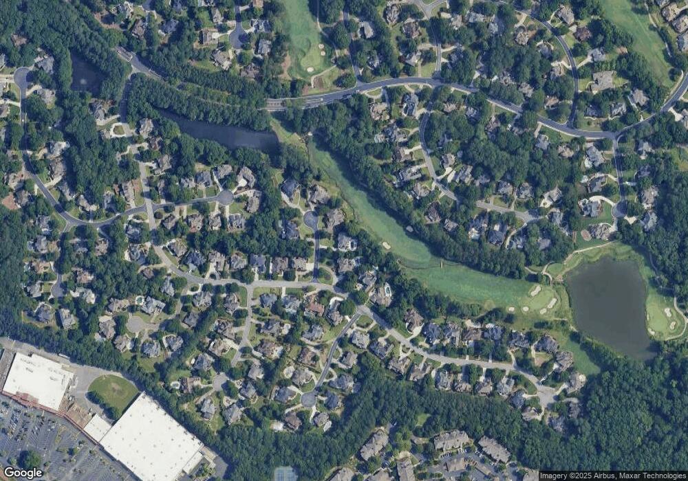
Map
Nearby Homes
- 1808 Ballybunion Dr
- 127 Villamoura Way
- 1001 Quaker Ridge Way
- 5700 Grove Point Rd
- 160 Ludwell Ct
- 140 Vintage Club Ct
- 9769 Palmeston Place
- 1135 Ascott Valley Dr
- 3533 Mulberry Way
- 4167 Oakwood Way
- 310 Medridge Dr
- 606 Goldsmith Ct Unit 114
- 602 Goldsmith Ct Unit 116
- 721 Beaufort Cir
- 600 Bedfort Dr
- 604 Goldsmith Ct Unit 115
- 509 Bedfort Dr
- 175 Jupiter Hills Point
- 622 Bedfort Dr
- 703 Millport Pointe
- 703 Millport Point Unit 1
- 229 Southern Hill Dr Unit I
- 705 Millport Pointe Unit 1
- 225 Southern Hill Dr
- 0 Millport Point Unit 7285253
- 0 Millport Point Unit 7038092
- 0 Millport Point
- 702 Millport Point
- 702 Millport Pointe
- 706 Millport Point
- 0 Southern Hill Dr Unit 7482306
- 0 Southern Hill Dr Unit 7452587
- 0 Southern Hill Dr Unit 7399162
- 0 Southern Hill Dr Unit 7331325
- 0 Southern Hill Dr Unit 7180148
- 0 Southern Hill Dr Unit 7051563
- 0 Southern Hill Dr Unit 8790002
- 0 Southern Hill Dr Unit 8728479
- 0 Southern Hill Dr Unit 8490336