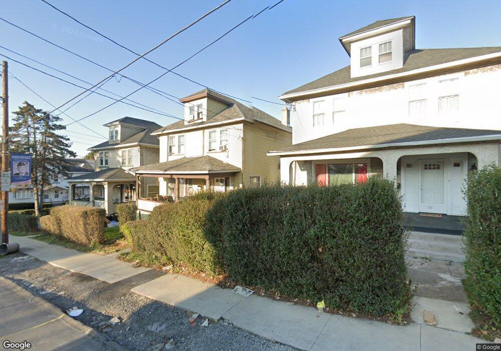
703 Moosic St Scranton, PA 18505
South Side NeighborhoodEstimated Value: $106,000 - $224,000
4
Beds
1
Bath
1,750
Sq Ft
$96/Sq Ft
Est. Value
About This Home
This home is located at 703 Moosic St, Scranton, PA 18505 and is currently estimated at $167,958, approximately $95 per square foot. 703 Moosic St is a home located in Lackawanna County with nearby schools including John G. Whittier Elementary School, South Scranton Intermediate, and Scranton High School.
Ownership History
Date
Name
Owned For
Owner Type
Purchase Details
Closed on
Dec 19, 2022
Sold by
Ss Rentals Llc
Bought by
Jaisarie Krisheda and Taylor Wahzim
Current Estimated Value
Purchase Details
Closed on
May 1, 2018
Sold by
Lackawanna County Sheriff
Bought by
Peoples Security Bank & Trt
Purchase Details
Closed on
Dec 20, 2004
Bought by
Cosentini Lois
Create a Home Valuation Report for This Property
The Home Valuation Report is an in-depth analysis detailing your home's value as well as a comparison with similar homes in the area
Home Values in the Area
Average Home Value in this Area
Purchase History
| Date | Buyer | Sale Price | Title Company |
|---|---|---|---|
| Jaisarie Krisheda | $47,000 | None Listed On Document | |
| Jaisarie Krisheda | $47,000 | None Listed On Document | |
| Peoples Security Bank & Trt | -- | None Available | |
| Peoples Security Bank & Trt | -- | None Available | |
| Cosentini Lois | $38,000 | -- | |
| Cosentini Lois | $38,000 | -- |
Source: Public Records
Tax History
| Year | Tax Paid | Tax Assessment Tax Assessment Total Assessment is a certain percentage of the fair market value that is determined by local assessors to be the total taxable value of land and additions on the property. | Land | Improvement |
|---|---|---|---|---|
| 2025 | $2,436 | $7,000 | $2,050 | $4,950 |
| 2024 | $2,239 | $7,000 | $2,050 | $4,950 |
| 2023 | $2,239 | $7,000 | $2,050 | $4,950 |
| 2022 | $2,190 | $7,000 | $2,050 | $4,950 |
| 2021 | $2,190 | $7,000 | $2,050 | $4,950 |
| 2020 | $2,152 | $7,000 | $2,050 | $4,950 |
| 2019 | $2,028 | $7,000 | $2,050 | $4,950 |
| 2018 | $2,028 | $7,000 | $2,050 | $4,950 |
| 2017 | $1,995 | $7,000 | $2,050 | $4,950 |
| 2016 | $727 | $7,000 | $2,050 | $4,950 |
| 2015 | $1,531 | $7,000 | $2,050 | $4,950 |
| 2014 | -- | $7,000 | $2,050 | $4,950 |
Source: Public Records
Map
Nearby Homes
- 102 S Irving Ave
- 119 Prospect Ave Unit L5
- 636 Orchard St
- 217 Crown Ave
- 910 Orchard St
- 321 Prospect Ave
- 417 S Irving Ave
- 201 Pittston Ave
- 409 Prospect Ave
- 522 524 River St
- 342 Harrison Ave
- 432 Taylor Ave
- 1513 1515 Vine St
- 518 Kirst Ct
- 623 Crown Ave
- 529 Taylor Ave
- 516 Harrison Ave
- 439 Alder St
- 719 S Webster Ave
- 501-503 Cedar Ave
- 703 Moosic St
- 705 Moosic St
- 701 Moosic St
- 701 Moosic St
- 23 S Webster Ave
- 707 Moosic St
- 19 S Webster Ave
- 19 S Webster Ave Unit L19
- 708 Moosic St Unit WEB
- 15 S Webster Ave
- 15 S Webster Ave
- 715 Moosic St Unit 1
- 715 Moosic St Unit 3
- 715 Moosic St Unit 2
- 715 Moosic St Unit 4
- 715 Moosic St
- 710 Moosic St
- 32 S Webster Ave
- 105 S Webster Ave
- 28 S Webster Ave
Your Personal Tour Guide
Ask me questions while you tour the home.