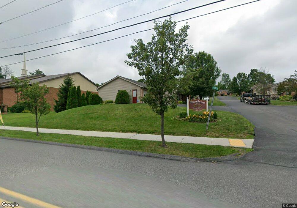
703 Mulberry Ln Unit 703 Somerset, PA 15501
Estimated Value: $211,000 - $278,488
3
Beds
2
Baths
1,272
Sq Ft
$199/Sq Ft
Est. Value
About This Home
This home is located at 703 Mulberry Ln Unit 703, Somerset, PA 15501 and is currently estimated at $252,622, approximately $198 per square foot. 703 Mulberry Ln Unit 703 is a home located in Somerset County with nearby schools including Maple Ridge Elementary School, Eagle View Elementary School, and Somerset Area Junior/Senior High School.
Ownership History
Date
Name
Owned For
Owner Type
Purchase Details
Closed on
Jun 28, 2019
Sold by
Wheeler Harold W
Bought by
Pensiero Sherren
Current Estimated Value
Purchase Details
Closed on
Jun 30, 2016
Sold by
Brakley Robert H
Bought by
Wheeler Harold W
Purchase Details
Closed on
Oct 1, 2007
Sold by
Pensiero Victor J and Pensiero Joy L
Bought by
Barkley Robert H
Home Financials for this Owner
Home Financials are based on the most recent Mortgage that was taken out on this home.
Original Mortgage
$46,500
Interest Rate
6.51%
Mortgage Type
New Conventional
Create a Home Valuation Report for This Property
The Home Valuation Report is an in-depth analysis detailing your home's value as well as a comparison with similar homes in the area
Home Values in the Area
Average Home Value in this Area
Purchase History
| Date | Buyer | Sale Price | Title Company |
|---|---|---|---|
| Pensiero Sherren | $199,500 | None Available | |
| Wheeler Harold W | $164,500 | Attorney | |
| Barkley Robert H | $179,000 | None Available |
Source: Public Records
Mortgage History
| Date | Status | Borrower | Loan Amount |
|---|---|---|---|
| Previous Owner | Barkley Robert H | $46,500 |
Source: Public Records
Tax History Compared to Growth
Tax History
| Year | Tax Paid | Tax Assessment Tax Assessment Total Assessment is a certain percentage of the fair market value that is determined by local assessors to be the total taxable value of land and additions on the property. | Land | Improvement |
|---|---|---|---|---|
| 2025 | $4,356 | $54,740 | $0 | $0 |
| 2024 | $4,356 | $54,740 | $0 | $0 |
| 2023 | $4,260 | $54,740 | $0 | $0 |
| 2022 | $4,051 | $54,740 | $0 | $0 |
| 2021 | $3,966 | $54,740 | $0 | $0 |
| 2020 | $3,912 | $54,740 | $0 | $0 |
| 2019 | $3,912 | $54,740 | $0 | $0 |
| 2018 | $3,857 | $54,740 | $1,680 | $53,060 |
| 2017 | $3,830 | $54,740 | $1,680 | $53,060 |
| 2016 | -- | $54,740 | $1,680 | $53,060 |
| 2015 | -- | $54,740 | $1,680 | $53,060 |
| 2014 | -- | $54,740 | $1,680 | $53,060 |
Source: Public Records
Map
Nearby Homes
- 527 N Edgewood Ave
- 348 W Catherine St
- 120 W Catherine St
- 129 Missoura St
- 158 W Union St
- 620 N Franklin Ave
- 218 Missoura St
- 213 Stoystown Rd
- 331 W Main St
- 127 W Main St
- 506 Tayman Ave
- 629 Clover Hill Rd
- 403 Rebecca St
- 336 W Sanner St
- 678 W Main St
- 344 W Garrett St
- 549 W Race St
- 0 E Garrett St
- 152 E Garrett St
- 705 Mulberry Ln
- 704 Mulberry Ln
- 725 Mulberry Ln
- 602 N Rosina Ave
- 724 Mulberry Ln
- 226 Felgar Rd
- 601 N Rosina Ave
- 726 Mulberry Ln
- 701 Autumn Dr
- 528 N Rosina Ave
- 313 Felgar Rd
- 765 Mulberry Ln
- 715 Autumn Dr
- 212 Felgar Rd
- 215 Felgar Rd
- 719 Autumn Dr
- 516 N Rosina Ave
- 527 N Rosina Ave
- 330 High St
- 338 Felgar Rd