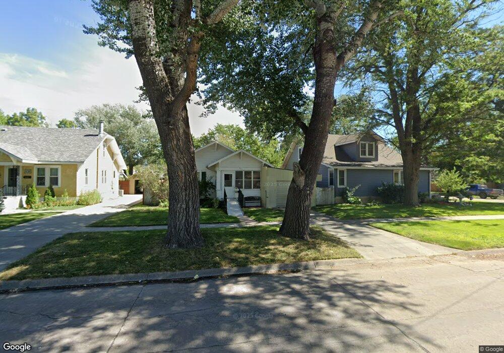
703 Platte Ave Alliance, NE 69301
Estimated Value: $170,000 - $212,000
5
Beds
2
Baths
2,038
Sq Ft
$93/Sq Ft
Est. Value
About This Home
This home is located at 703 Platte Ave, Alliance, NE 69301 and is currently estimated at $189,683, approximately $93 per square foot. 703 Platte Ave is a home located in Box Butte County with nearby schools including Alliance High School, St. Agnes Academy, and Immanuel Evangelical Lutheran School.
Ownership History
Date
Name
Owned For
Owner Type
Purchase Details
Closed on
Nov 20, 2021
Sold by
Loseke Brock J and Loseke Gillian J
Bought by
Mahaffey Terry A and Mahaffey Kathleen A
Current Estimated Value
Home Financials for this Owner
Home Financials are based on the most recent Mortgage that was taken out on this home.
Original Mortgage
$177,650
Outstanding Balance
$163,011
Interest Rate
3.09%
Mortgage Type
New Conventional
Estimated Equity
$26,672
Purchase Details
Closed on
Jul 31, 2019
Sold by
Clarke Jess B
Bought by
Loseke Brock J and Loseke Gillian J
Purchase Details
Closed on
Sep 10, 2009
Sold by
Miller Robert W and Miller Linda K
Bought by
Clarke Jess B and Clarke Manda L
Home Financials for this Owner
Home Financials are based on the most recent Mortgage that was taken out on this home.
Original Mortgage
$127,000
Interest Rate
5.36%
Mortgage Type
Purchase Money Mortgage
Create a Home Valuation Report for This Property
The Home Valuation Report is an in-depth analysis detailing your home's value as well as a comparison with similar homes in the area
Home Values in the Area
Average Home Value in this Area
Purchase History
| Date | Buyer | Sale Price | Title Company |
|---|---|---|---|
| Mahaffey Terry A | -- | None Listed On Document | |
| Loseke Brock J | $172,500 | -- | |
| Clarke Jess B | -- | -- | |
| Clarke Jess B | -- | Kunzman Title Co |
Source: Public Records
Mortgage History
| Date | Status | Borrower | Loan Amount |
|---|---|---|---|
| Open | Mahaffey Terry A | $177,650 | |
| Previous Owner | Clarke Jess B | $127,000 |
Source: Public Records
Tax History Compared to Growth
Tax History
| Year | Tax Paid | Tax Assessment Tax Assessment Total Assessment is a certain percentage of the fair market value that is determined by local assessors to be the total taxable value of land and additions on the property. | Land | Improvement |
|---|---|---|---|---|
| 2024 | -- | $187,945 | $6,300 | $181,645 |
| 2023 | $3,231 | $187,945 | $6,300 | $181,645 |
| 2022 | $3,003 | $164,915 | $5,950 | $158,965 |
| 2021 | $3,040 | $164,915 | $5,950 | $158,965 |
| 2020 | $3,031 | $164,915 | $5,950 | $158,965 |
| 2019 | $2,961 | $164,915 | $5,950 | $158,965 |
| 2018 | $2,946 | $164,915 | $5,950 | $158,965 |
| 2017 | $2,390 | $128,793 | $4,550 | $124,243 |
| 2016 | $2,363 | $128,793 | $4,550 | $124,243 |
| 2015 | $1,561 | $121,760 | $4,550 | $117,210 |
| 2014 | $1,561 | $121,480 | $4,550 | $116,930 |
Source: Public Records
Map
Nearby Homes
- 621 Emerson Ave
- 819 Black Hills Ave
- 719 Toluca Ave
- 911 Emerson Ave
- 907 Toluca Ave
- 936 Platte Ave
- 924 Big Horn Ave
- 316 Big Horn Ave
- 904 Laramie Ave
- 1021 Dakota Ave
- 420 Laramie Ave
- 1019 Laramie Ave
- 1239 Toluca Ave
- 615 Sweetwater Ave
- 917 Missouri Ave
- 1004 Missouri Ave
- 613 Mississippi Ave
- 20th St Emerson Ave To Colorado Ave
- 667 E 9th St
- 719 E 8th St
- 707 Platte Ave
- 711 Platte Ave
- 623 Platte Ave
- 715 Platte Ave
- 702 Emerson Ave
- 619 Platte Ave
- 708 Emerson Ave
- 712 Emerson Ave
- 624 Emerson Ave
- 719 Platte Ave
- 615 Platte Ave
- 714 Emerson Ave Unit 718
- 704 Platte Ave
- 708 Platte Ave
- 620 Emerson Ave
- 712 Platte Ave
- 624 Platte Ave
- 723 Platte Ave
- 720 Emerson Ave
- 611 Platte Ave