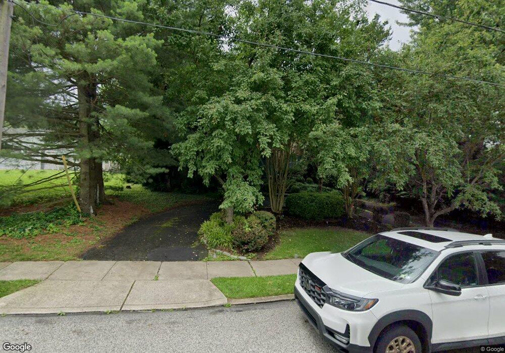
703 Swade Rd Glenside, PA 19038
Estimated Value: $673,000 - $967,000
5
Beds
4
Baths
3,266
Sq Ft
$256/Sq Ft
Est. Value
About This Home
This home is located at 703 Swade Rd, Glenside, PA 19038 and is currently estimated at $837,111, approximately $256 per square foot. 703 Swade Rd is a home located in Montgomery County with nearby schools including Erdenheim Elementary School, Enfield Elementary School, and Springfield Township Middle School.
Ownership History
Date
Name
Owned For
Owner Type
Purchase Details
Closed on
Jul 26, 2007
Sold by
Abernethy David Ford and Simon Phyllis K
Bought by
Friedberger Alma T and Buono Benjamin P
Current Estimated Value
Home Financials for this Owner
Home Financials are based on the most recent Mortgage that was taken out on this home.
Original Mortgage
$85,550
Outstanding Balance
$54,332
Interest Rate
6.72%
Estimated Equity
$782,779
Create a Home Valuation Report for This Property
The Home Valuation Report is an in-depth analysis detailing your home's value as well as a comparison with similar homes in the area
Home Values in the Area
Average Home Value in this Area
Purchase History
| Date | Buyer | Sale Price | Title Company |
|---|---|---|---|
| Friedberger Alma T | $529,000 | None Available |
Source: Public Records
Mortgage History
| Date | Status | Borrower | Loan Amount |
|---|---|---|---|
| Open | Friedberger Alma T | $85,550 | |
| Open | Friedberger Alma T | $417,000 |
Source: Public Records
Tax History Compared to Growth
Tax History
| Year | Tax Paid | Tax Assessment Tax Assessment Total Assessment is a certain percentage of the fair market value that is determined by local assessors to be the total taxable value of land and additions on the property. | Land | Improvement |
|---|---|---|---|---|
| 2025 | $12,097 | $256,810 | $51,140 | $205,670 |
| 2024 | $12,097 | $256,810 | $51,140 | $205,670 |
| 2023 | $11,675 | $256,810 | $51,140 | $205,670 |
| 2022 | $11,341 | $256,810 | $51,140 | $205,670 |
| 2021 | $11,045 | $256,810 | $51,140 | $205,670 |
| 2020 | $10,786 | $256,810 | $51,140 | $205,670 |
| 2019 | $10,620 | $256,810 | $51,140 | $205,670 |
| 2018 | $10,620 | $256,810 | $51,140 | $205,670 |
| 2017 | $10,138 | $256,810 | $51,140 | $205,670 |
| 2016 | $10,038 | $256,810 | $51,140 | $205,670 |
| 2015 | $9,541 | $256,810 | $51,140 | $205,670 |
| 2014 | $9,541 | $256,810 | $51,140 | $205,670 |
Source: Public Records
Map
Nearby Homes
- 223 Larrimore Ln
- 402 Longfield Rd
- 1104 Cromwell Rd
- 303 Glenway Rd
- 8612 Trumbauer Dr
- 106 Montgomery Ave
- 8705 Patton Rd
- 5 Erdenheim Rd
- 1005 Harston Ln
- 418 Glenway Rd
- 32 Jones Ave
- 21 Franklin Ave
- 8550 Trumbauer Dr Unit L35
- 11 Franklin Ave
- 21 Jones Ave
- 404 Pennybrook Ct Unit 15 REDFORD INTERIOR
- 406 Pennybrook Ct Unit 14 REDFORD INTERIOR
- 401 Pennybrook Ct Unit 1 REDFORD END
- 403 Pennybrook Ct Unit 2 REDFORD INTERIOR
- 408 Pennybrook Ct Unit 13 REDFORD END
- 705 Swade Rd
- 707 Swade Rd
- 640 Avondale Rd
- 706 Swade Rd
- 1101 Paper Mill Rd Unit 34
- 709 Swade Rd
- 700 Avondale Rd
- 708 Swade Rd
- 702 Avondale Rd
- 641 Avondale Rd
- 711 Swade Rd
- 867 Skyline Dr
- 704 Avondale Rd
- 712 Swade Rd
- 865 Skyline Dr
- 1101 Stotesbury Ave
- 222 Glendalough Rd
- 869 Skyline Dr
- 1100 Stotesbury Ave
- 713 Swade Rd