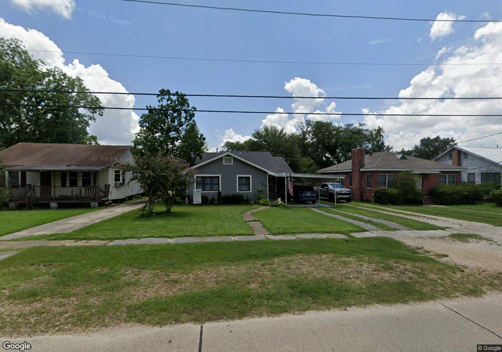
703 W Robert St Hammond, LA 70401
Estimated Value: $169,000 - $290,000
Studio
--
Bath
2,028
Sq Ft
$112/Sq Ft
Est. Value
About This Home
This home is located at 703 W Robert St, Hammond, LA 70401 and is currently estimated at $227,837, approximately $112 per square foot. 703 W Robert St is a home located in Tangipahoa Parish with nearby schools including Woodland Park Magnet, Greenville Park Leadership Academy, and Hammond High Magnet School.
Ownership History
Date
Name
Owned For
Owner Type
Purchase Details
Closed on
Oct 18, 2006
Sold by
Bernard Gomez Clara Estelle and Gomez Schafer Shirley Irene
Bought by
Sanders Kathleen Bonaccorso
Current Estimated Value
Home Financials for this Owner
Home Financials are based on the most recent Mortgage that was taken out on this home.
Original Mortgage
$85,000
Outstanding Balance
$49,144
Interest Rate
6.37%
Mortgage Type
Future Advance Clause Open End Mortgage
Estimated Equity
$178,693
Create a Home Valuation Report for This Property
The Home Valuation Report is an in-depth analysis detailing your home's value as well as a comparison with similar homes in the area
Home Values in the Area
Average Home Value in this Area
Purchase History
| Date | Buyer | Sale Price | Title Company |
|---|---|---|---|
| Sanders Kathleen Bonaccorso | $130,000 | Northshore Title Llc |
Source: Public Records
Mortgage History
| Date | Status | Borrower | Loan Amount |
|---|---|---|---|
| Open | Sanders Kathleen Bonaccorso | $85,000 |
Source: Public Records
Tax History
| Year | Tax Paid | Tax Assessment Tax Assessment Total Assessment is a certain percentage of the fair market value that is determined by local assessors to be the total taxable value of land and additions on the property. | Land | Improvement |
|---|---|---|---|---|
| 2024 | $1,074 | $12,973 | $6,480 | $6,493 |
| 2023 | $1,044 | $12,492 | $6,000 | $6,492 |
| 2022 | $1,044 | $12,492 | $6,000 | $6,492 |
| 2021 | $686 | $12,492 | $6,000 | $6,492 |
| 2020 | $1,307 | $12,492 | $6,000 | $6,492 |
| 2019 | $1,303 | $12,492 | $6,000 | $6,492 |
| 2018 | $1,307 | $12,492 | $6,000 | $6,492 |
| 2017 | $1,307 | $12,492 | $6,000 | $6,492 |
| 2016 | $1,307 | $12,492 | $6,000 | $6,492 |
| 2015 | $418 | $12,492 | $6,000 | $6,492 |
| 2014 | $398 | $12,492 | $6,000 | $6,492 |
Source: Public Records
Map
Nearby Homes
- 306 N Linden St
- 205 N Linden St
- 311 N Linden St
- 109 N Linden St
- 501 N Linden St
- 1011 W Robert St
- 10452 Highway 190
- 703 Edwin Neill Way
- 301 S General Pershing St
- 9.88 acres U S Highway 190
- 17458 Highway 190
- 2025 Highway 190
- 312 N Oak St
- 1309 W Church St
- 200 N Scanlan St
- 1004 S Magnolia St
- 112 N Scanlan St
- 213 N Scanlan St
- 705 W Robert St
- 701 W Robert St
- 609 W Robert St
- 700 W Charles St
- 700 W Robert St
- 610 W Charles St
- 709 W Robert St
- 607 W Robert St
- 704 W Charles St
- 702 W Robert St
- 704 W Robert St
- 605 W Robert St
- 708 W Robert St
- 604 W Charles St
- 610 W Robert St
- 802 W Charles St
- 601 W Robert St
- 710 W Robert St
- 608 W Robert St
- 201 N General Pershing St
Your Personal Tour Guide
Ask me questions while you tour the home.