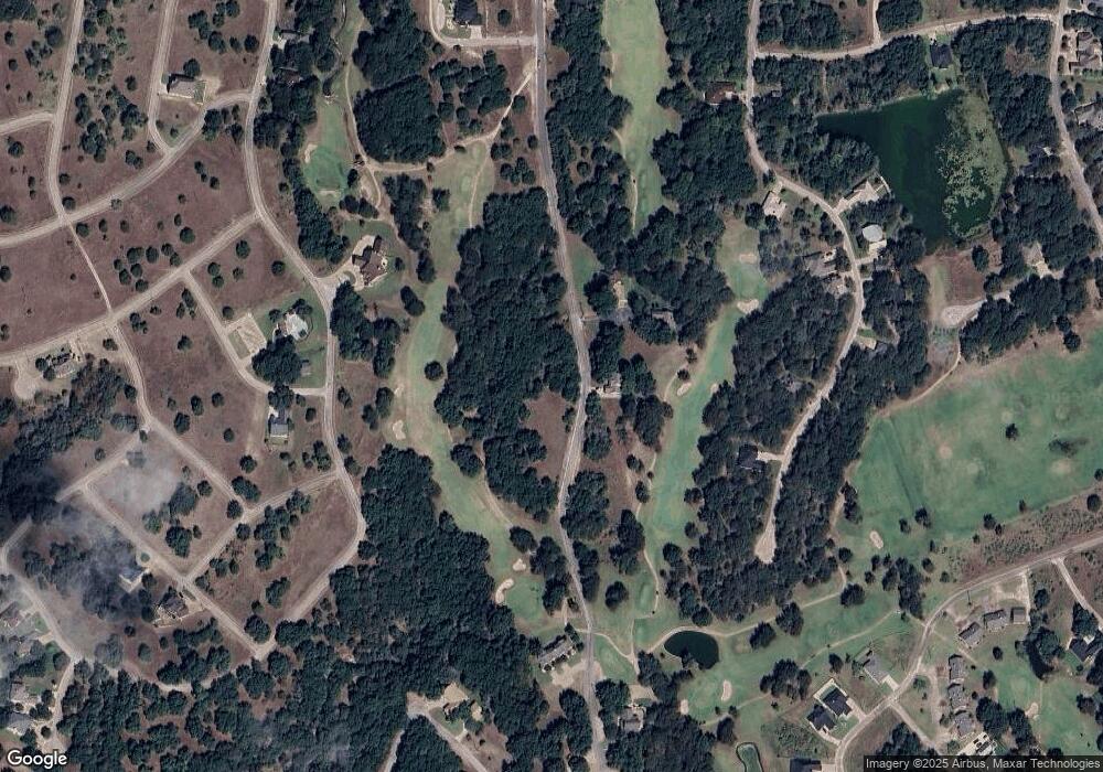
7030 Golf Dr Whitney, TX 76692
Estimated Value: $216,000
--
Bed
--
Bath
--
Sq Ft
0.25
Acres
About This Home
This home is located at 7030 Golf Dr, Whitney, TX 76692 and is currently estimated at $216,000. 7030 Golf Dr is a home located in Hill County with nearby schools including Whitney Elementary School, Whitney Intermediate School, and Whitney Middle School.
Ownership History
Date
Name
Owned For
Owner Type
Purchase Details
Closed on
Aug 31, 2025
Sold by
Risk William and Adams-Risk Margaret Ann
Bought by
Wooten Christina and Wooten Allena
Current Estimated Value
Purchase Details
Closed on
Mar 9, 2008
Sold by
Double Diamond Inc
Bought by
Risk William and Adams Risk Margaret Ann
Purchase Details
Closed on
Dec 2, 2007
Sold by
Arko Thomas and Arko Denise
Bought by
Ldouble Diamond Inc
Purchase Details
Closed on
Nov 10, 2006
Sold by
Double Diamond Inc
Bought by
Arko Thomas and Arko Denise
Purchase Details
Closed on
Aug 22, 2006
Sold by
Merrill Pat and Merrill Jan
Bought by
Double Diamond Inc
Purchase Details
Closed on
May 19, 2006
Sold by
Double Diamond Inc
Bought by
Merrill Pat and Merrill Jan
Create a Home Valuation Report for This Property
The Home Valuation Report is an in-depth analysis detailing your home's value as well as a comparison with similar homes in the area
Home Values in the Area
Average Home Value in this Area
Purchase History
| Date | Buyer | Sale Price | Title Company |
|---|---|---|---|
| Wooten Christina | -- | None Listed On Document | |
| Risk William | -- | None Available | |
| Ldouble Diamond Inc | -- | None Available | |
| Arko Thomas | -- | None Available | |
| Double Diamond Inc | -- | None Available | |
| Merrill Pat | $103,400 | None Available | |
| Merrill Pat | -- | None Available |
Source: Public Records
Mortgage History
| Date | Status | Borrower | Loan Amount |
|---|---|---|---|
| Closed | Risk William | $0 |
Source: Public Records
Tax History Compared to Growth
Tax History
| Year | Tax Paid | Tax Assessment Tax Assessment Total Assessment is a certain percentage of the fair market value that is determined by local assessors to be the total taxable value of land and additions on the property. | Land | Improvement |
|---|---|---|---|---|
| 2025 | $515 | $33,610 | $33,610 | $0 |
| 2024 | $515 | $33,610 | $33,610 | $0 |
| 2023 | $523 | $33,610 | $33,610 | $0 |
| 2022 | $449 | $24,030 | $24,030 | $0 |
| 2021 | $511 | $24,030 | $24,030 | $0 |
| 2020 | $533 | $24,030 | $24,030 | $0 |
| 2019 | $494 | $21,260 | $21,260 | $0 |
| 2018 | $498 | $21,470 | $21,470 | $0 |
| 2017 | $503 | $21,480 | $21,480 | $0 |
| 2016 | $533 | $22,740 | $22,740 | $0 |
| 2015 | -- | $21,250 | $21,250 | $0 |
| 2014 | -- | $22,490 | $22,490 | $0 |
Source: Public Records
Map
Nearby Homes
- 7007 Golf Dr
- 7005 Golf Dr
- 15042 Golf Dr
- 15035 Golf Dr
- 15047 Golf Dr
- 15032 Golf Dr
- 7038 Golf Dr
- 42086 Crooked Stick Dr
- 41052 Flagstone Cir
- 7050 Golf Dr
- 41033 Flagstone Cir
- 41004 Flagstone Cir
- 17132 Trailwood Dr
- 17134 Woodlawn Dr
- 7124 Cedar Valley Dr
- 7126 Cedar Valley Dr
- 42251 Prestwick Dr
- 17136 Woodlawn Dr
- 42097 Crooked Stick Dr
- 42122 Crooked Stick Dr
