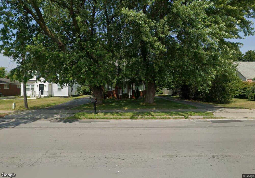
7030 Packard Rd Niagara Falls, NY 14304
Estimated Value: $198,000 - $246,000
3
Beds
2
Baths
1,260
Sq Ft
$183/Sq Ft
Est. Value
About This Home
This home is located at 7030 Packard Rd, Niagara Falls, NY 14304 and is currently estimated at $230,216, approximately $182 per square foot. 7030 Packard Rd is a home located in Niagara County with nearby schools including Edward Town Middle School, Niagara-Wheatfield Senior High School, and Niagara Charter School.
Ownership History
Date
Name
Owned For
Owner Type
Purchase Details
Closed on
Apr 26, 2013
Sold by
Cuzzacrea Wagner Judy N
Bought by
Villont Steven J
Current Estimated Value
Home Financials for this Owner
Home Financials are based on the most recent Mortgage that was taken out on this home.
Original Mortgage
$73,641
Outstanding Balance
$51,640
Interest Rate
3.25%
Mortgage Type
FHA
Estimated Equity
$178,576
Purchase Details
Closed on
Apr 24, 2006
Sold by
Moon Madge
Bought by
Moon Revocable Trust Madge
Create a Home Valuation Report for This Property
The Home Valuation Report is an in-depth analysis detailing your home's value as well as a comparison with similar homes in the area
Home Values in the Area
Average Home Value in this Area
Purchase History
| Date | Buyer | Sale Price | Title Company |
|---|---|---|---|
| Villont Steven J | $75,000 | None Available | |
| Moon Revocable Trust Madge | -- | Michael Violante |
Source: Public Records
Mortgage History
| Date | Status | Borrower | Loan Amount |
|---|---|---|---|
| Open | Villont Steven J | $73,641 |
Source: Public Records
Tax History Compared to Growth
Tax History
| Year | Tax Paid | Tax Assessment Tax Assessment Total Assessment is a certain percentage of the fair market value that is determined by local assessors to be the total taxable value of land and additions on the property. | Land | Improvement |
|---|---|---|---|---|
| 2024 | $4,775 | $65,100 | $6,200 | $58,900 |
| 2023 | $4,451 | $65,100 | $6,200 | $58,900 |
| 2022 | $4,417 | $65,100 | $6,200 | $58,900 |
| 2021 | $4,437 | $65,100 | $6,200 | $58,900 |
| 2020 | $2,753 | $65,100 | $6,200 | $58,900 |
| 2019 | $2,672 | $65,100 | $6,200 | $58,900 |
| 2018 | $2,658 | $65,100 | $6,200 | $58,900 |
| 2017 | $2,672 | $65,100 | $6,200 | $58,900 |
| 2016 | $2,699 | $65,100 | $6,200 | $58,900 |
| 2015 | -- | $65,100 | $6,200 | $58,900 |
| 2014 | -- | $65,100 | $6,200 | $58,900 |
Source: Public Records
Map
Nearby Homes
- 7211 Packard Rd
- 0 Laur Rd
- 3210 Woodland Ave
- 3190 Apple Ct
- 0 Miller Rd Unit B1278008
- 7901 Packard Rd
- 6410 Woodside Place
- 7400 Saint Joseph Rd
- 7612 Saint Joseph Rd
- 7620 Saint Joseph Rd
- 8100 Porter Rd
- v/l Porter Rd
- 8090 Packard Rd
- VL 3rd Ave N
- 8049 3rd Ave
- 0 3rd Ave
- 8106 E Britton Dr
- 8398 Ziblut Ct
- 5406 Mayle Ct
- 4450 Miller Rd
- 7026 Packard Rd
- 7106 Packard Rd
- 7020 Packard Rd
- 7110 Packard Rd
- 7110 Packard Rd Unit 10
- 7016 Packard Rd
- 7116 Packard Rd
- 7101 Packard Rd
- 7006 Packard Rd
- 7109 Packard Rd
- 6906 Packard Rd
- 7120 Packard Rd
- 7117 Packard Rd
- 7119 Packard Rd
- 6900 Packard Rd
- 7130 Packard Rd
- 7129 Packard Rd
- 7001 Packard Rd
- 7201 Packard Rd
- 7200 Packard Rd