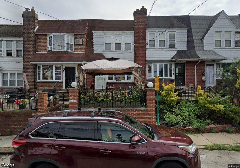
7030 Ruskin Ln Upper Darby, PA 19082
Estimated Value: $135,845 - $155,000
3
Beds
1
Bath
1,072
Sq Ft
$132/Sq Ft
Est. Value
About This Home
This home is located at 7030 Ruskin Ln, Upper Darby, PA 19082 and is currently estimated at $141,961, approximately $132 per square foot. 7030 Ruskin Ln is a home located in Delaware County with nearby schools including Upper Darby Kdg Center, Upper Darby High School, and SS. Cyril & Philomena Catholic School.
Ownership History
Date
Name
Owned For
Owner Type
Purchase Details
Closed on
Oct 7, 2010
Sold by
Wagner Steve and The Steve Wagner Family Trust
Bought by
Mequanenet Mesay N
Current Estimated Value
Home Financials for this Owner
Home Financials are based on the most recent Mortgage that was taken out on this home.
Original Mortgage
$62,900
Outstanding Balance
$41,550
Interest Rate
4.37%
Mortgage Type
New Conventional
Estimated Equity
$100,411
Purchase Details
Closed on
Jun 24, 1999
Sold by
Vila Joseph A and Maryann Vila Family Trust
Bought by
Vila Joseph A and Joseph A Vila Family Trust
Create a Home Valuation Report for This Property
The Home Valuation Report is an in-depth analysis detailing your home's value as well as a comparison with similar homes in the area
Home Values in the Area
Average Home Value in this Area
Purchase History
| Date | Buyer | Sale Price | Title Company |
|---|---|---|---|
| Mequanenet Mesay N | $69,900 | None Available | |
| Vila Joseph A | -- | -- |
Source: Public Records
Mortgage History
| Date | Status | Borrower | Loan Amount |
|---|---|---|---|
| Open | Mequanenet Mesay N | $62,900 |
Source: Public Records
Tax History Compared to Growth
Tax History
| Year | Tax Paid | Tax Assessment Tax Assessment Total Assessment is a certain percentage of the fair market value that is determined by local assessors to be the total taxable value of land and additions on the property. | Land | Improvement |
|---|---|---|---|---|
| 2025 | $2,847 | $67,320 | $14,160 | $53,160 |
| 2024 | $2,847 | $67,320 | $14,160 | $53,160 |
| 2023 | $2,820 | $67,320 | $14,160 | $53,160 |
| 2022 | $2,744 | $67,320 | $14,160 | $53,160 |
| 2021 | $3,700 | $67,320 | $14,160 | $53,160 |
| 2020 | $2,712 | $41,920 | $12,880 | $29,040 |
| 2019 | $2,664 | $41,920 | $12,880 | $29,040 |
| 2018 | $2,633 | $41,920 | $0 | $0 |
| 2017 | $2,565 | $41,920 | $0 | $0 |
| 2016 | $230 | $41,920 | $0 | $0 |
| 2015 | $235 | $41,920 | $0 | $0 |
| 2014 | $230 | $41,920 | $0 | $0 |
Source: Public Records
Map
Nearby Homes
- 577 Snowden Rd
- 607 Littlecroft Rd
- 6982 Clinton Rd
- 513 Woodcliffe Rd
- 504 Woodcliffe Rd
- 525 Wiltshire Rd
- 517 Wiltshire Rd
- 655 Copley Rd
- 6948 Clinton Rd
- 7120 Clinton Rd
- 7139 Guilford Rd
- 7162 Radbourne Rd
- 669 Long Ln
- 424 Woodcliffe Rd
- 7066 Clover Ln
- 426 Hampden Rd
- 346 Long Ln
- 418 Hampden Rd
- 404 Croyden Rd
- 433 Copley Rd