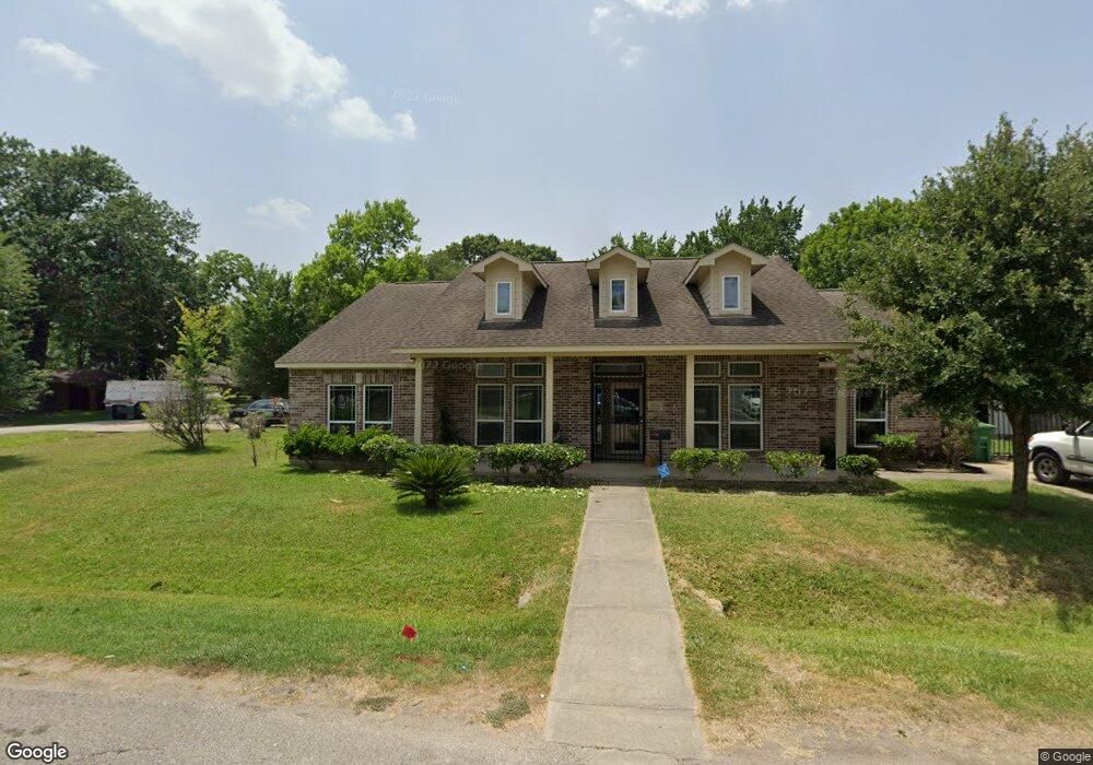
7034 Sherwood Dr Houston, TX 77021
OST-South Union NeighborhoodEstimated Value: $290,000 - $396,955
3
Beds
3
Baths
2,236
Sq Ft
$158/Sq Ft
Est. Value
About This Home
This home is located at 7034 Sherwood Dr, Houston, TX 77021 and is currently estimated at $353,989, approximately $158 per square foot. 7034 Sherwood Dr is a home located in Harris County with nearby schools including Marcellus Elliot Foster Elementary, Cullen Middle School, and Yates High School.
Ownership History
Date
Name
Owned For
Owner Type
Purchase Details
Closed on
Feb 20, 2013
Sold by
Chriestmon Properties Llc
Bought by
Fields Hazel Mae
Current Estimated Value
Purchase Details
Closed on
Feb 25, 2009
Sold by
Chriestmon Mark Anthony
Bought by
Chriestmon Properties Llc
Purchase Details
Closed on
Apr 23, 2004
Sold by
Chriestmon Ruth U and Chriestmon Ollie M
Bought by
Chriestmon Mark A
Create a Home Valuation Report for This Property
The Home Valuation Report is an in-depth analysis detailing your home's value as well as a comparison with similar homes in the area
Home Values in the Area
Average Home Value in this Area
Purchase History
| Date | Buyer | Sale Price | Title Company |
|---|---|---|---|
| Fields Hazel Mae | -- | None Available | |
| Chriestmon Properties Llc | -- | None Available | |
| Chriestmon Mark A | -- | -- |
Source: Public Records
Tax History Compared to Growth
Tax History
| Year | Tax Paid | Tax Assessment Tax Assessment Total Assessment is a certain percentage of the fair market value that is determined by local assessors to be the total taxable value of land and additions on the property. | Land | Improvement |
|---|---|---|---|---|
| 2025 | $408 | $463,425 | $139,700 | $323,725 |
| 2024 | $408 | $467,146 | $139,700 | $327,446 |
| 2023 | $383 | $482,381 | $125,730 | $356,651 |
| 2022 | $5,528 | $383,791 | $97,790 | $286,001 |
| 2021 | $5,319 | $355,719 | $62,865 | $292,854 |
| 2020 | $5,024 | $299,349 | $41,910 | $257,439 |
| 2019 | $4,773 | $295,132 | $34,925 | $260,207 |
| 2018 | $1,207 | $183,815 | $24,448 | $159,367 |
| 2017 | $3,942 | $155,882 | $17,463 | $138,419 |
| 2016 | $3,672 | $155,882 | $17,463 | $138,419 |
| 2015 | $1,155 | $132,009 | $17,463 | $114,546 |
| 2014 | $1,155 | $135,705 | $17,463 | $118,242 |
Source: Public Records
Map
Nearby Homes
- 7014 Saint Augustine St
- 7108 Saint Augustine St
- 7012 Saint Augustine St
- 7109 Saint Augustine St
- 7016 Conley St
- 7117 Saint Augustine St
- 7005 Saint Augustine St Unit A/B
- 7004 Conley St
- 4010 Dreyfus St
- 7115 England St Unit A
- 7115 England St Unit B
- 7117 England St Unit C
- 7117 England St Unit A
- 7117 England St Unit B
- 6908 England St
- 6906 England St
- 7125 England St
- 7127 England St
- 7129 England St
- 3617 Dreyfus St
- 3943 Faulkner St
- 3600 Faulkner St
- 3939 Faulkner St
- 3946 Southlawn St
- 7031 Sherwood Dr
- 3942 Southlawn St
- 7035 Sherwood Dr
- 7027 Sherwood Dr
- 3946 Faulkner St
- 3942 Faulkner St
- 3938 Southlawn St
- 3935 Faulkner St
- 7023 Sherwood Dr
- 3938 Faulkner St
- 7103 Sherwood Dr
- 3934 Southlawn St
- 3934 Faulkner St
- 7036 Saint Augustine St
- 7019 Sherwood Dr
- 3931 Faulkner St