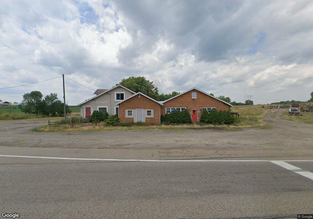
7035 Columbus Rd Louisville, OH 44641
Estimated Value: $49,000 - $146,000
--
Bed
2
Baths
3,100
Sq Ft
$27/Sq Ft
Est. Value
About This Home
This home is located at 7035 Columbus Rd, Louisville, OH 44641 and is currently estimated at $83,936, approximately $27 per square foot. 7035 Columbus Rd is a home located in Stark County with nearby schools including Louisville High School and St. Thomas Aquinas High School & Middle School.
Ownership History
Date
Name
Owned For
Owner Type
Purchase Details
Closed on
Dec 28, 2004
Sold by
Kisling Marjorie
Bought by
Brogan Paul Donald and Brogan Stefania W
Current Estimated Value
Purchase Details
Closed on
Dec 30, 1994
Sold by
Criss William
Bought by
Kisling Marjorie
Home Financials for this Owner
Home Financials are based on the most recent Mortgage that was taken out on this home.
Original Mortgage
$69,000
Interest Rate
9.24%
Mortgage Type
New Conventional
Purchase Details
Closed on
Sep 4, 1991
Purchase Details
Closed on
Dec 4, 1990
Create a Home Valuation Report for This Property
The Home Valuation Report is an in-depth analysis detailing your home's value as well as a comparison with similar homes in the area
Home Values in the Area
Average Home Value in this Area
Purchase History
| Date | Buyer | Sale Price | Title Company |
|---|---|---|---|
| Brogan Paul Donald | $30,000 | -- | |
| Kisling Marjorie | $69,000 | -- | |
| -- | $28,500 | -- | |
| -- | $28,500 | -- |
Source: Public Records
Mortgage History
| Date | Status | Borrower | Loan Amount |
|---|---|---|---|
| Previous Owner | Kisling Marjorie | $69,000 |
Source: Public Records
Tax History Compared to Growth
Tax History
| Year | Tax Paid | Tax Assessment Tax Assessment Total Assessment is a certain percentage of the fair market value that is determined by local assessors to be the total taxable value of land and additions on the property. | Land | Improvement |
|---|---|---|---|---|
| 2025 | -- | $16,350 | $14,320 | $2,030 |
| 2024 | -- | $16,350 | $14,320 | $2,030 |
| 2023 | $663 | $13,340 | $10,400 | $2,940 |
| 2022 | $670 | $13,340 | $10,400 | $2,940 |
| 2021 | $672 | $13,340 | $10,400 | $2,940 |
| 2020 | $527 | $11,000 | $8,930 | $2,070 |
| 2019 | $529 | $11,000 | $8,930 | $2,070 |
| 2018 | $528 | $11,000 | $8,930 | $2,070 |
| 2017 | $523 | $10,400 | $8,440 | $1,960 |
| 2016 | $493 | $10,020 | $8,440 | $1,580 |
| 2015 | $495 | $10,020 | $8,440 | $1,580 |
| 2014 | $491 | $9,210 | $7,770 | $1,440 |
| 2013 | $249 | $9,210 | $7,770 | $1,440 |
Source: Public Records
Map
Nearby Homes
- 6285 California Ave
- 6079 Eastlawn St NE
- 6150 Pilot View Cir
- 7844 Morningstar Dr
- 3580 Brookridge Ave Lot 15
- 5700 Glena St
- 0 Pilot Knob Ave NE
- 0 Glenbar St
- 0 Brookridge Ave
- 1561 Noel St
- 5474 Ravenna Ave
- 524 Glenbar St
- 614 Reno Dr
- 316 E Reno Dr
- 428 Honeycrisp Dr NE
- 3047 Mcintosh Dr NE
- 432 Honeycrisp Dr NE
- 2962 Mcintosh Dr NE
- 2963 Mcintosh Dr NE
- 430 Honeycrisp Dr NE
- 7103 Columbus Rd NE
- 7020 Columbus Rd NE
- 6987 Easton St
- 6971 Columbus Rd
- 7272 Columbus Rd
- 7284 Columbus Rd NE
- 7420 Easton St
- 7397 Easton St
- 6779 Easton St NE
- 7312 Columbus Rd NE
- 7417 Easton St
- 7433 Easton St
- 7341 Columbus Rd
- 7346 Columbus Rd
- 7365 Columbus Rd
- 7370 Columbus Rd
- 7365 Columbus Rd NE
- 6903 Ravenna Ave
- 7370 Columbus Rd NE
- 6911 Ravenna Ave