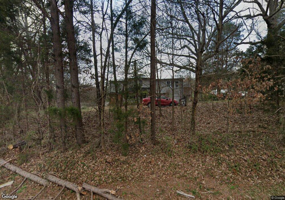
7035 Stokes Ferry Rd Salisbury, NC 28146
Estimated Value: $278,029 - $382,000
--
Bed
1
Bath
2,176
Sq Ft
$155/Sq Ft
Est. Value
About This Home
This home is located at 7035 Stokes Ferry Rd, Salisbury, NC 28146 and is currently estimated at $336,757, approximately $154 per square foot. 7035 Stokes Ferry Rd is a home located in Rowan County with nearby schools including Morgan Elementary School, Charles C Erwin Middle School, and East Rowan High School.
Ownership History
Date
Name
Owned For
Owner Type
Purchase Details
Closed on
Jul 7, 2004
Sold by
Ash Taine Leahey and Ash Eric L
Bought by
Ash Eric L and Ash Taine Leahey
Current Estimated Value
Home Financials for this Owner
Home Financials are based on the most recent Mortgage that was taken out on this home.
Original Mortgage
$81,000
Interest Rate
6.25%
Mortgage Type
New Conventional
Create a Home Valuation Report for This Property
The Home Valuation Report is an in-depth analysis detailing your home's value as well as a comparison with similar homes in the area
Home Values in the Area
Average Home Value in this Area
Purchase History
| Date | Buyer | Sale Price | Title Company |
|---|---|---|---|
| Ash Eric L | -- | -- | |
| Ash Taine Leahey | -- | -- |
Source: Public Records
Mortgage History
| Date | Status | Borrower | Loan Amount |
|---|---|---|---|
| Closed | Ash Taine Leahey | $81,000 |
Source: Public Records
Tax History Compared to Growth
Tax History
| Year | Tax Paid | Tax Assessment Tax Assessment Total Assessment is a certain percentage of the fair market value that is determined by local assessors to be the total taxable value of land and additions on the property. | Land | Improvement |
|---|---|---|---|---|
| 2025 | $1,256 | $190,333 | $50,750 | $139,583 |
| 2024 | $1,256 | $190,333 | $50,750 | $139,583 |
| 2023 | $1,256 | $190,333 | $50,750 | $139,583 |
| 2022 | $876 | $118,740 | $38,250 | $80,490 |
| 2021 | $844 | $118,740 | $38,250 | $80,490 |
| 2020 | $844 | $118,740 | $38,250 | $80,490 |
| 2019 | $844 | $118,740 | $38,250 | $80,490 |
| 2018 | $662 | $93,794 | $38,250 | $55,544 |
| 2017 | $662 | $93,794 | $38,250 | $55,544 |
| 2016 | $662 | $93,794 | $38,250 | $55,544 |
| 2015 | $672 | $93,794 | $38,250 | $55,544 |
| 2014 | $662 | $94,248 | $38,250 | $55,998 |
Source: Public Records
Map
Nearby Homes
- 230 Shag Bark Ln
- 1083 Elljoy Ln
- 2225 Barger Rd
- 245 Castle Keep Rd
- 1184 Kingsway Dr
- 1225 Poole Rd
- 1370 Poole Rd
- 918 Gondola Ct Unit 70Ap
- 1315 King Rd
- 1109 Beagle Run Unit 15
- 6415 Bringle Ferry Rd
- 0 Chapparal Dr
- 8710 Stokes Ferry Rd
- 5825 Bringle Ferry Rd
- 1450 Saint Lukes Church Rd
- 360 Palomino Dr
- 1170 Gold Knob Rd
- 133 Pecan Ln
- 125 Stonehaven Ct
- 265 Saint Matthew Church Rd
- 6979 Stokes Ferry Rd
- 12840 Stokes Ferry Rd
- 7040 Stokes Ferry Rd
- 6975 Stokes Ferry Rd
- 6965 Stokes Ferry Rd
- 1135 Cedar Pond Ln
- 1175 Cedar Pond Ln
- 1125 Cedar Pond Ln
- 1125 Cedar Pond Ln Unit 12
- 6925 Stokes Ferry Rd
- 7115 Stokes Ferry Rd
- 6845 Stokes Ferry Rd
- 7155 Stokes Ferry Rd
- 6835 Stokes Ferry Rd
- 125 Peace Wood Rd
- 125 Peace Wood Rd
- 210 Peace Wood Rd
- 205 Peace Wood Rd
- 6840 Stokes Ferry Rd
- 280 Daves Dr