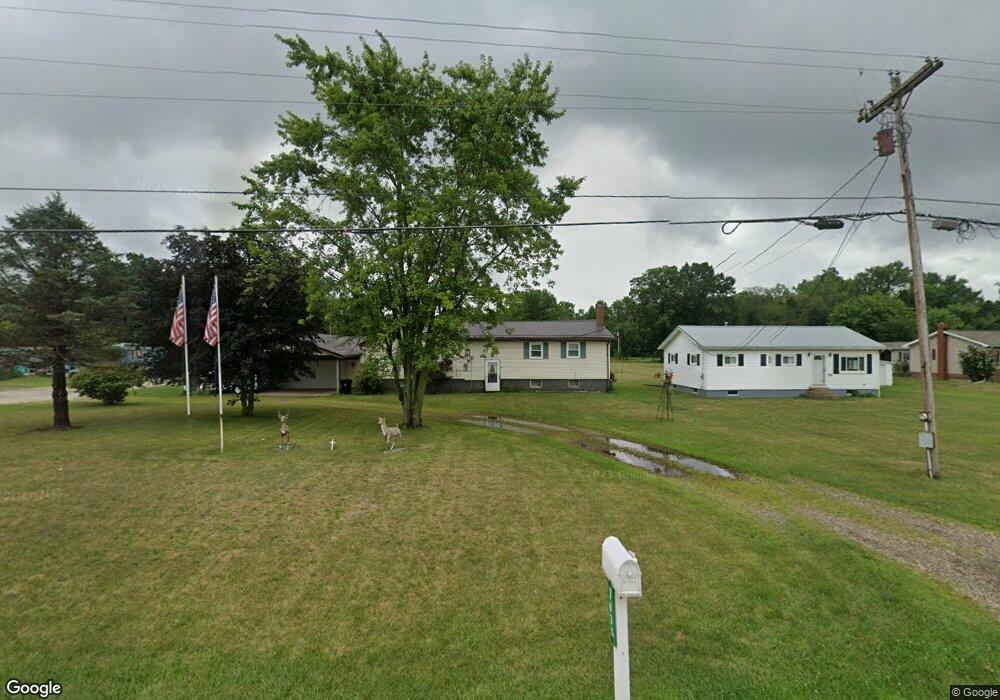
7036 Alliance Rd NW Unit 14WB Malvern, OH 44644
Estimated Value: $141,000 - $277,000
3
Beds
2
Baths
1,557
Sq Ft
$116/Sq Ft
Est. Value
About This Home
This home is located at 7036 Alliance Rd NW Unit 14WB, Malvern, OH 44644 and is currently estimated at $180,381, approximately $115 per square foot. 7036 Alliance Rd NW Unit 14WB is a home located in Carroll County with nearby schools including Malvern Elementary School, Malvern Middle School, and Malvern High School.
Ownership History
Date
Name
Owned For
Owner Type
Purchase Details
Closed on
Nov 24, 2023
Sold by
Burns Timothy L and Burns Hope A
Bought by
Burns Timothy L
Current Estimated Value
Home Financials for this Owner
Home Financials are based on the most recent Mortgage that was taken out on this home.
Original Mortgage
$91,575
Outstanding Balance
$89,978
Interest Rate
7.5%
Mortgage Type
FHA
Estimated Equity
$90,404
Purchase Details
Closed on
Feb 18, 2021
Sold by
Burns Richard L and Burns Sheila J
Bought by
Burns Timothy L and Burns Hope A
Create a Home Valuation Report for This Property
The Home Valuation Report is an in-depth analysis detailing your home's value as well as a comparison with similar homes in the area
Home Values in the Area
Average Home Value in this Area
Purchase History
| Date | Buyer | Sale Price | Title Company |
|---|---|---|---|
| Burns Timothy L | -- | None Listed On Document | |
| Burns Timothy L | -- | None Available |
Source: Public Records
Mortgage History
| Date | Status | Borrower | Loan Amount |
|---|---|---|---|
| Open | Burns Timothy L | $91,575 |
Source: Public Records
Tax History Compared to Growth
Tax History
| Year | Tax Paid | Tax Assessment Tax Assessment Total Assessment is a certain percentage of the fair market value that is determined by local assessors to be the total taxable value of land and additions on the property. | Land | Improvement |
|---|---|---|---|---|
| 2024 | $1,390 | $30,100 | $5,710 | $24,390 |
| 2023 | $1,384 | $30,100 | $5,710 | $24,390 |
| 2022 | $1,379 | $24,930 | $4,730 | $20,200 |
| 2021 | $1,127 | $24,930 | $4,730 | $20,200 |
| 2020 | $1,128 | $24,930 | $4,730 | $20,200 |
| 2019 | $1,183 | $24,920 | $4,725 | $20,195 |
| 2018 | $1,460 | $30,210 | $4,690 | $25,520 |
| 2017 | $1,460 | $30,210 | $4,690 | $25,520 |
| 2016 | $1,433 | $27,720 | $4,310 | $23,410 |
| 2015 | $1,293 | $27,720 | $4,310 | $23,410 |
| 2014 | $1,330 | $27,720 | $4,310 | $23,410 |
| 2013 | $1,322 | $27,720 | $4,310 | $23,410 |
Source: Public Records
Map
Nearby Homes
- 9144 Malwayne Dr NW
- 7227 Maple St NW Unit 19A
- 32 E Mohawk Dr
- 121 W Mohawk Dr
- 158 W Mohawk Dr
- 5051 Citrus Rd NW
- 7796 Mottice Dr SE
- 7803 Elson St SE
- 409 Pleasant Ave
- 503 W Main St Unit 15
- 7145 Bluebird Rd NW
- 7678 Waynesburg Dr SE
- 7750 Waynesburg Dr SE
- 91 Oneida Trail
- 6 Cayuga Trail
- 177 W Lisbon St
- 58 Pueblo Trail
- 8038 Avalon Rd NW
- 39 Pueblo Trail
- 424 E Porter St Unit 21
- 7044 Alliance Rd NW Unit 14WB
- 7024 Alliance Rd NW Unit 14WB
- 7056 Alliance Rd NW Unit 14WB
- 7018 Alliance Rd NW Unit 14WB
- 7060 Alliance Rd NW Unit 14WB
- 9137 Nelson Ln NW
- 7062 Alliance Rd NW Unit 14WB
- 9163 Wayne Ave NW Unit 14WB
- 7080 Alliance Rd NW
- 7004 Alliance Rd NW
- 6998 Alliance Rd NW Unit 14WB
- 6994 Alliance Rd NW Unit 14WB
- 6982 Alliance Rd NW Unit 14WB
- 6333 Anderson Dr NW Unit 13WC
- 7098 Alliance Rd NW
- 7099 Alliance Rd NW
- 6334 Anderson Dr NW Unit 13WC
- 6976 Alliance Rd NW Unit 14WB
- 6321 Riverview Dr NW Unit 6331
- 6364 Riverview Dr NW Unit 13WC