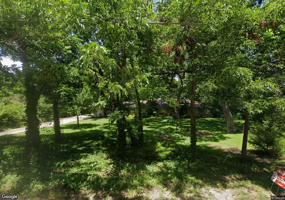
7039 Fisher Rd Dallas, TX 75214
Lakewood NeighborhoodEstimated Value: $2,133,000 - $2,243,898
4
Beds
3
Baths
3,803
Sq Ft
$571/Sq Ft
Est. Value
About This Home
This home is located at 7039 Fisher Rd, Dallas, TX 75214 and is currently estimated at $2,172,633, approximately $571 per square foot. 7039 Fisher Rd is a home located in Dallas County with nearby schools including Lakewood Elementary School, J L Long Middle School, and Woodrow Wilson High School.
Ownership History
Date
Name
Owned For
Owner Type
Purchase Details
Closed on
Mar 22, 2010
Sold by
Crescent Tower Residences Lp
Bought by
Hastings Juliana and Hastings Hunter
Current Estimated Value
Purchase Details
Closed on
Mar 8, 2010
Sold by
The Bank Of New York Mellon Trust Compan
Bought by
The Secretary Of Housing & Urban Develop
Purchase Details
Closed on
Aug 7, 2008
Sold by
Franklin Kenneth W and Franklin Holley Lynn
Bought by
Browne Ewan and Holder Browne Maryann
Home Financials for this Owner
Home Financials are based on the most recent Mortgage that was taken out on this home.
Original Mortgage
$415,000
Interest Rate
6.47%
Mortgage Type
Purchase Money Mortgage
Purchase Details
Closed on
Jul 15, 2004
Sold by
Bailey Herbert A
Bought by
Franklin Kenneth W
Home Financials for this Owner
Home Financials are based on the most recent Mortgage that was taken out on this home.
Original Mortgage
$472,500
Interest Rate
7.99%
Mortgage Type
Purchase Money Mortgage
Create a Home Valuation Report for This Property
The Home Valuation Report is an in-depth analysis detailing your home's value as well as a comparison with similar homes in the area
Home Values in the Area
Average Home Value in this Area
Purchase History
| Date | Buyer | Sale Price | Title Company |
|---|---|---|---|
| Hastings Juliana | -- | None Available | |
| The Secretary Of Housing & Urban Develop | -- | None Available | |
| Browne Ewan | -- | Landam | |
| Franklin Kenneth W | -- | -- |
Source: Public Records
Mortgage History
| Date | Status | Borrower | Loan Amount |
|---|---|---|---|
| Previous Owner | Browne Ewan | $415,000 | |
| Previous Owner | Franklin Kenneth W | $472,500 | |
| Closed | Franklin Kenneth W | $52,500 |
Source: Public Records
Tax History Compared to Growth
Tax History
| Year | Tax Paid | Tax Assessment Tax Assessment Total Assessment is a certain percentage of the fair market value that is determined by local assessors to be the total taxable value of land and additions on the property. | Land | Improvement |
|---|---|---|---|---|
| 2025 | $37,011 | $2,375,000 | $2,191,490 | $183,510 |
| 2024 | $37,011 | $2,354,960 | $2,191,490 | $163,470 |
| 2023 | $37,011 | $2,188,690 | $2,107,200 | $81,490 |
| 2022 | $41,606 | $1,664,000 | $1,264,200 | $399,800 |
| 2021 | $40,306 | $1,527,920 | $1,264,200 | $263,720 |
| 2020 | $41,450 | $1,527,920 | $1,264,200 | $263,720 |
| 2019 | $43,473 | $1,527,920 | $1,264,200 | $263,720 |
| 2018 | $33,339 | $1,226,050 | $1,161,000 | $65,050 |
| 2017 | $33,340 | $1,226,050 | $1,161,000 | $65,050 |
| 2016 | $27,419 | $1,008,330 | $838,500 | $169,830 |
| 2015 | $22,429 | $1,008,330 | $838,500 | $169,830 |
| 2014 | $22,429 | $974,930 | $774,000 | $200,930 |
Source: Public Records
Map
Nearby Homes
- 7130 Brookcove Ln
- 6984 Santa Barbara Dr
- 7215 Brennans Dr
- 7127 E Mockingbird Ln
- 7233 Brennans Dr
- 6923 Inverness Ln
- 7147 E Mockingbird Ln
- 6811 Patrick Dr
- 6802 Vada Dr
- 7328 Rockhurst Dr
- 6925 Galemeadow Cir
- 7318 Rockhurst Dr
- 6746 Braeburn Dr
- 7325 Rutgers Dr
- 6711 Vada Dr
- 6804 Santa Maria Ln
- 6906 Redstart Ln
- 6720 Braeburn Dr
- 7329 Dalewood Ln
- 3944 Dalgreen Dr
- 7111 Fisher Rd
- 7027 Fisher Rd
- 7035 Greentree Ln
- 7045 Greentree Ln
- 7121 Fisher Rd
- 7111 Greentree Ln
- 7025 Greentree Ln
- 7121 Greentree Ln
- 7015 Fisher Rd
- 7030 Fisher Rd
- 7014 Fisher Rd
- 7131 Greentree Ln
- 7011 Greentree Ln
- 7106 Fisher Rd
- 7123 Fisher Rd
- 7111 Greenbrook Ln
- 7110 Brookcove Ln
- 7110 Greenbrook Ln
- 7005 Greentree Ln
- 7141 Greentree Ln