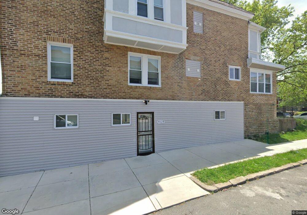
7039 Forrest Ave Philadelphia, PA 19138
West Oak Lane NeighborhoodEstimated Value: $252,000 - $253,000
3
Beds
1
Bath
2,036
Sq Ft
$124/Sq Ft
Est. Value
About This Home
This home is located at 7039 Forrest Ave, Philadelphia, PA 19138 and is currently estimated at $252,500, approximately $124 per square foot. 7039 Forrest Ave is a home located in Philadelphia County with nearby schools including William Rowen School, Gen. Louis Wagner Middle School, and Martin Luther King High School.
Ownership History
Date
Name
Owned For
Owner Type
Purchase Details
Closed on
Apr 1, 2023
Sold by
Barnes Andrea
Bought by
1St National Construction Company Llc
Current Estimated Value
Home Financials for this Owner
Home Financials are based on the most recent Mortgage that was taken out on this home.
Original Mortgage
$262,250
Outstanding Balance
$254,486
Interest Rate
6.65%
Mortgage Type
Construction
Estimated Equity
-$1,986
Purchase Details
Closed on
Sep 25, 2001
Sold by
Hutchins Percy
Bought by
Hutchins Andrea L
Home Financials for this Owner
Home Financials are based on the most recent Mortgage that was taken out on this home.
Original Mortgage
$39,000
Interest Rate
6.6%
Mortgage Type
Commercial
Create a Home Valuation Report for This Property
The Home Valuation Report is an in-depth analysis detailing your home's value as well as a comparison with similar homes in the area
Home Values in the Area
Average Home Value in this Area
Purchase History
| Date | Buyer | Sale Price | Title Company |
|---|---|---|---|
| 1St National Construction Company Llc | $157,000 | None Listed On Document | |
| Hutchins Andrea L | -- | -- |
Source: Public Records
Mortgage History
| Date | Status | Borrower | Loan Amount |
|---|---|---|---|
| Open | 1St National Construction Company Llc | $262,250 | |
| Previous Owner | Hutchins Andrea L | $39,000 |
Source: Public Records
Tax History Compared to Growth
Tax History
| Year | Tax Paid | Tax Assessment Tax Assessment Total Assessment is a certain percentage of the fair market value that is determined by local assessors to be the total taxable value of land and additions on the property. | Land | Improvement |
|---|---|---|---|---|
| 2026 | $2,598 | $250,200 | $50,040 | $200,160 |
| 2025 | $2,598 | $250,200 | $50,040 | $200,160 |
| 2024 | $2,598 | $250,200 | $50,040 | $200,160 |
| 2023 | $2,598 | $185,600 | $37,120 | $148,480 |
| 2022 | $2,458 | $185,600 | $37,120 | $148,480 |
| 2021 | $2,458 | $0 | $0 | $0 |
| 2020 | $2,458 | $0 | $0 | $0 |
| 2019 | $2,426 | $0 | $0 | $0 |
| 2018 | $1,757 | $0 | $0 | $0 |
| 2017 | $1,757 | $0 | $0 | $0 |
| 2016 | $1,757 | $0 | $0 | $0 |
| 2015 | $1,682 | $0 | $0 | $0 |
| 2014 | -- | $125,500 | $12,063 | $113,437 |
| 2012 | -- | $12,896 | $2,759 | $10,137 |
Source: Public Records
Map
Nearby Homes
- 7092 Forrest Ave
- 7016 Andrews Ave
- 7001 Limekiln Pike
- 6944 Cedar Park Ave
- 6908 Ogontz Ave
- 6905 Forrest Ave
- 7159 N 20th St
- 7206 Forrest Ave
- 7188 N Uber St
- 7349 E Walnut Ln
- 6838 Ogontz Ave
- 6869 Forrest Ave
- 6943 N 19th St
- 1839 E Pastorius St
- 7245 Ogontz Ave
- 1911 72nd Ave
- 7153 N 19th St
- 1996 73rd Ave
- 1901A 72nd Ave
- 2070 E Haines St
- 7037 Forrest Ave
- 7035 Forrest Ave
- 7033 Forrest Ave
- 7031 Forrest Ave
- 7029 Forrest Ave
- 7027 Forrest Ave
- 1927 Middleton St
- 7025 Forrest Ave
- 7023 Forrest Ave
- 7051 Forrest Ave
- 7021 Forrest Ave
- 7032 Ogontz Ave
- 7030 Ogontz Ave
- 7028 Ogontz Ave
- 7055 Forrest Ave
- 7019 Forrest Ave
- 7024 Ogontz Ave
- 7034 Forrest Ave
- 7036 Forrest Ave
- 7057 Forrest Ave