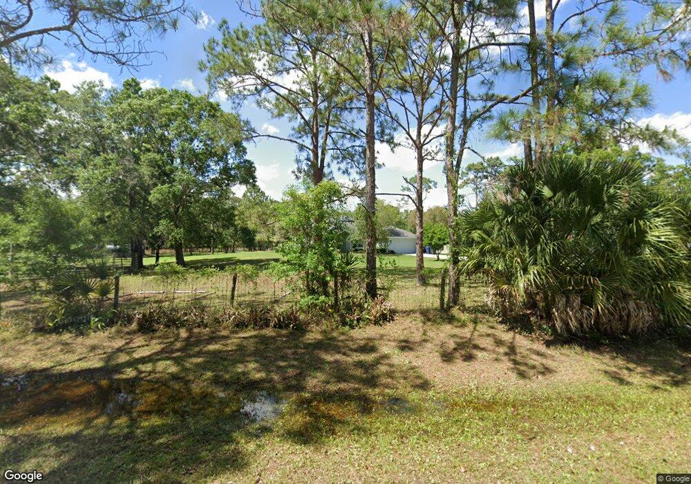
7039 Sandy Ln Wesley Chapel, FL 33544
Estimated Value: $515,000 - $855,000
3
Beds
2
Baths
1,960
Sq Ft
$334/Sq Ft
Est. Value
About This Home
This home is located at 7039 Sandy Ln, Wesley Chapel, FL 33544 and is currently estimated at $655,567, approximately $334 per square foot. 7039 Sandy Ln is a home located in Pasco County with nearby schools including Quail Hollow Elementary School and Cypress Creek Middle.
Ownership History
Date
Name
Owned For
Owner Type
Purchase Details
Closed on
Dec 13, 2010
Sold by
Mack Harold H and Mack Linda A
Bought by
Squires Richard C and Squires Petra U
Current Estimated Value
Home Financials for this Owner
Home Financials are based on the most recent Mortgage that was taken out on this home.
Original Mortgage
$421,450
Outstanding Balance
$279,857
Interest Rate
4.32%
Mortgage Type
VA
Estimated Equity
$375,710
Purchase Details
Closed on
Aug 13, 1997
Sold by
Sirotowitz Marvin
Bought by
Mack Harold and Mack Linda
Home Financials for this Owner
Home Financials are based on the most recent Mortgage that was taken out on this home.
Original Mortgage
$39,600
Interest Rate
7.65%
Create a Home Valuation Report for This Property
The Home Valuation Report is an in-depth analysis detailing your home's value as well as a comparison with similar homes in the area
Home Values in the Area
Average Home Value in this Area
Purchase History
| Date | Buyer | Sale Price | Title Company |
|---|---|---|---|
| Squires Richard C | $410,000 | American Home Title Of Land | |
| Mack Harold | $49,500 | -- |
Source: Public Records
Mortgage History
| Date | Status | Borrower | Loan Amount |
|---|---|---|---|
| Open | Squires Richard C | $421,450 | |
| Previous Owner | Mack Harold | $39,600 |
Source: Public Records
Tax History Compared to Growth
Tax History
| Year | Tax Paid | Tax Assessment Tax Assessment Total Assessment is a certain percentage of the fair market value that is determined by local assessors to be the total taxable value of land and additions on the property. | Land | Improvement |
|---|---|---|---|---|
| 2025 | $3,546 | $243,412 | -- | -- |
| 2024 | $3,546 | $236,882 | -- | -- |
| 2023 | $3,418 | $230,322 | $0 | $0 |
| 2022 | $3,074 | $223,952 | $0 | $0 |
| 2021 | $3,019 | $217,762 | $38,754 | $179,008 |
| 2020 | $2,972 | $214,922 | $36,265 | $178,657 |
| 2019 | $2,924 | $210,351 | $0 | $0 |
| 2018 | $2,872 | $206,642 | $0 | $0 |
| 2017 | $2,862 | $206,642 | $0 | $0 |
| 2016 | $2,790 | $198,695 | $0 | $0 |
| 2015 | $2,829 | $197,393 | $0 | $0 |
| 2014 | $2,751 | $200,542 | $35,088 | $165,454 |
Source: Public Records
Map
Nearby Homes
- 7152 Sandy Ln
- 26223 Chianina Dr
- 26305 Bluestripe Dr
- 26432 Bluestripe Dr
- 6408 Woodsman Dr
- 6633 Applewood Dr
- 6810 Pearson Ln
- 26771 Deacon Loop
- 616 Lawrence Ave
- 6240 Woodsman Dr
- 26300 Pheasant Run
- 000 Pheasant Run
- 0 Quail Hollow Blvd Unit MFRTB8417062
- 26931 Deacon Loop
- 6930 Angus Valley Dr
- 6119 Mangrove Dr
- 0 Green Willow Run Unit LOT 759 MFRTB8359192
- 26831 Chianina Dr
- 26530 Green Willow Run
- 6416 Candlewood Dr
- 0 Sandy Ln
- 7048 Sandy Ln
- 6941 Mangrove Dr
- 6951 Mangrove Dr
- 6971 Mangrove Dr
- 6922 Mangrove Dr
- 6910 Mangrove Dr
- 6950 Woodsman Dr
- 6901 Mangrove Dr
- 7115 Sandy Ln
- 6922 Woodsman Dr
- 6846 Mangrove Dr
- 7120 Sandy Ln
- 26211 Twin Pines Ct
- 6829 Mangrove Dr
- 7139 Sandy Ln
- 5995 Sandy Ln
- 5953 Sandy Ln
- 6828 Mangrove Dr
- 7148 Sandy Ln