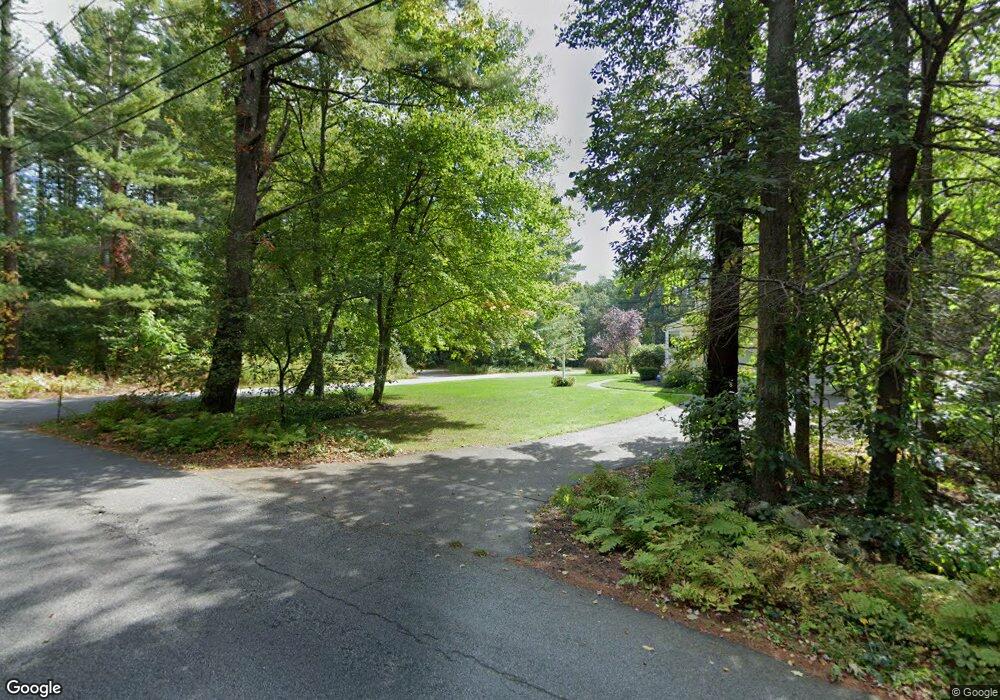
704 Burroughs Rd Boxborough, MA 01719
Estimated Value: $981,000 - $1,233,000
4
Beds
4
Baths
2,803
Sq Ft
$384/Sq Ft
Est. Value
About This Home
This home is located at 704 Burroughs Rd, Boxborough, MA 01719 and is currently estimated at $1,075,282, approximately $383 per square foot. 704 Burroughs Rd is a home located in Middlesex County with nearby schools including Acton-Boxborough Regional High School.
Ownership History
Date
Name
Owned For
Owner Type
Purchase Details
Closed on
Aug 28, 2024
Sold by
Cejka Eileen G and Murphy Walter A
Bought by
Walter Murphy Lt and Murphy
Current Estimated Value
Purchase Details
Closed on
Jul 24, 1997
Sold by
Senefeld Tobin J
Bought by
Murphy Walter A and Cejka Eileen G
Purchase Details
Closed on
Jun 21, 1996
Sold by
Bobjon Corp
Bought by
Senefeld Tobin J
Create a Home Valuation Report for This Property
The Home Valuation Report is an in-depth analysis detailing your home's value as well as a comparison with similar homes in the area
Home Values in the Area
Average Home Value in this Area
Purchase History
| Date | Buyer | Sale Price | Title Company |
|---|---|---|---|
| Walter Murphy Lt | -- | None Available | |
| Walter Murphy Lt | -- | None Available | |
| Murphy Walter A | $372,900 | -- | |
| Senefeld Tobin J | $335,700 | -- | |
| Murphy Walter A | $372,900 | -- | |
| Senefeld Tobin J | $335,700 | -- |
Source: Public Records
Mortgage History
| Date | Status | Borrower | Loan Amount |
|---|---|---|---|
| Previous Owner | Senefeld Tobin J | $97,500 | |
| Previous Owner | Senefeld Tobin J | $113,000 |
Source: Public Records
Tax History
| Year | Tax Paid | Tax Assessment Tax Assessment Total Assessment is a certain percentage of the fair market value that is determined by local assessors to be the total taxable value of land and additions on the property. | Land | Improvement |
|---|---|---|---|---|
| 2025 | $15,791 | $1,043,000 | $324,900 | $718,100 |
| 2024 | $14,669 | $978,600 | $312,900 | $665,700 |
| 2023 | $14,055 | $905,600 | $281,800 | $623,800 |
| 2022 | $13,389 | $768,600 | $281,800 | $486,800 |
| 2020 | $12,097 | $723,500 | $281,800 | $441,700 |
| 2019 | $11,880 | $723,500 | $281,800 | $441,700 |
| 2018 | $11,273 | $685,700 | $269,200 | $416,500 |
| 2017 | $11,217 | $667,300 | $269,200 | $398,100 |
| 2016 | $10,678 | $652,700 | $269,200 | $383,500 |
| 2015 | $10,033 | $602,600 | $224,900 | $377,700 |
| 2014 | $10,083 | $570,000 | $218,300 | $351,700 |
Source: Public Records
Map
Nearby Homes
- 77 Wheeler Dr Unit 77
- 20 Lyons Ln Unit 20
- 40 Fifers Ln
- 276 Codman Hill Rd Unit 36A
- 310 Codman Hill Rd Unit 35D
- 53 Swanson Ct Unit 24C
- 15 Spencer Rd Unit 12E
- 220 Swanson Rd Unit 605
- 220 Swanson Rd Unit 606
- 220 Swanson Rd Unit 604
- 280 W Acton Rd
- 53 Sylvan Dr
- 247 W Acton Rd
- 30-6 Taylor Rd
- 959 Hill Rd
- 13 Pine Hill Way
- 14 Pine Hill Way
- 18 B Pine Hill Way Unit BB
- 92 Willow St Unit 3
- 92 Willow St Unit 2
Your Personal Tour Guide
Ask me questions while you tour the home.