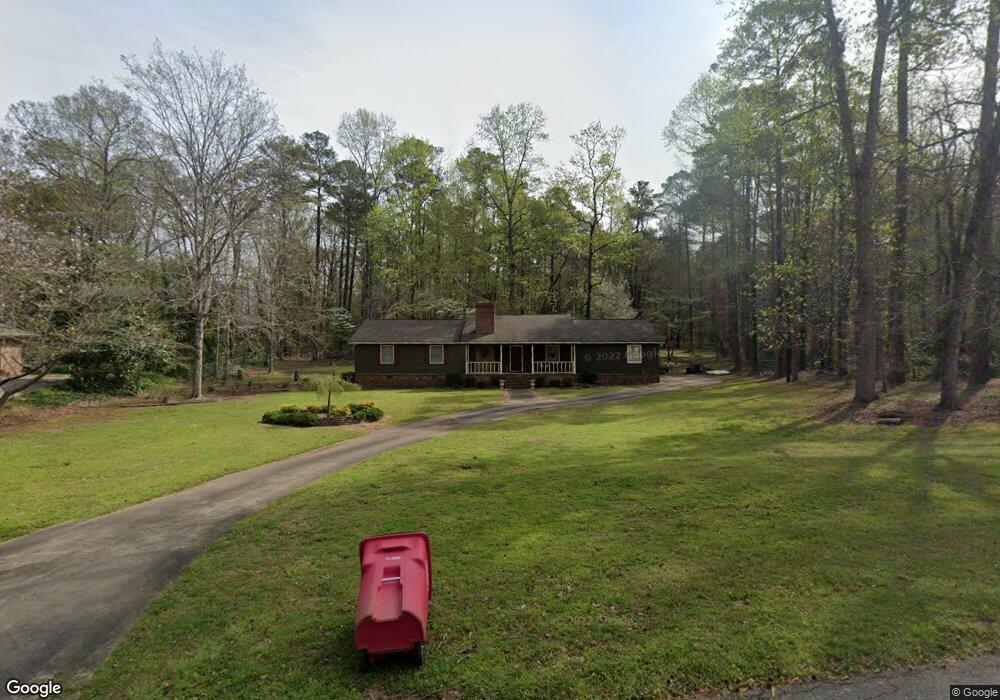
704 Middlesex Dr Macon, GA 31210
Estimated Value: $253,557 - $300,000
3
Beds
2
Baths
1,985
Sq Ft
$137/Sq Ft
Est. Value
About This Home
This home is located at 704 Middlesex Dr, Macon, GA 31210 and is currently estimated at $272,889, approximately $137 per square foot. 704 Middlesex Dr is a home located in Bibb County with nearby schools including Carter Elementary School, Howard Middle School, and Howard High School.
Ownership History
Date
Name
Owned For
Owner Type
Purchase Details
Closed on
Jul 25, 2014
Sold by
Oertel Nancy K
Bought by
Nancy K. Oertel-Briandi
Current Estimated Value
Purchase Details
Closed on
Jan 5, 2009
Sold by
Oertel Nancy K and Oertel Ralph J
Bought by
Oertel Nancy K
Home Financials for this Owner
Home Financials are based on the most recent Mortgage that was taken out on this home.
Original Mortgage
$80,570
Interest Rate
5.95%
Mortgage Type
New Conventional
Create a Home Valuation Report for This Property
The Home Valuation Report is an in-depth analysis detailing your home's value as well as a comparison with similar homes in the area
Purchase History
| Date | Buyer | Sale Price | Title Company |
|---|---|---|---|
| Nancy K. Oertel-Briandi | -- | -- | |
| Oertel Nancy K | -- | None Available |
Source: Public Records
Mortgage History
| Date | Status | Borrower | Loan Amount |
|---|---|---|---|
| Previous Owner | Oertel Nancy K | $80,570 |
Source: Public Records
Tax History
| Year | Tax Paid | Tax Assessment Tax Assessment Total Assessment is a certain percentage of the fair market value that is determined by local assessors to be the total taxable value of land and additions on the property. | Land | Improvement |
|---|---|---|---|---|
| 2025 | $1,777 | $79,331 | $20,350 | $58,981 |
| 2024 | $1,837 | $79,331 | $20,350 | $58,981 |
| 2023 | $2,143 | $79,331 | $20,350 | $58,981 |
| 2022 | $1,711 | $56,411 | $13,592 | $42,819 |
| 2021 | $1,878 | $56,411 | $13,592 | $42,819 |
| 2020 | $1,918 | $56,411 | $13,592 | $42,819 |
| 2019 | $1,934 | $56,411 | $13,592 | $42,819 |
| 2018 | $3,142 | $56,411 | $13,592 | $42,819 |
| 2017 | $1,851 | $56,411 | $13,592 | $42,819 |
| 2016 | $1,929 | $62,746 | $13,592 | $49,154 |
| 2015 | $2,730 | $62,746 | $13,592 | $49,154 |
| 2014 | $2,735 | $62,746 | $13,592 | $49,154 |
Source: Public Records
Map
Nearby Homes
- 903 Tucker Rd
- 5252 Brandywine Dr
- 764 Kings Mountain Rd
- 230 Carriage Trail
- 658 Tucker Rd
- 4978 Wellington Dr
- 112 Covington Place
- 5056 Wellington Dr
- 4922 Brittany Dr
- 973 Fieldstone Dr
- 5181 Zebulon Rd
- 4860 Forsyth Rd
- 173 Sanders Rd
- 128 Springwood Ct
- 131 Ashford Park
- 100 Trillium Terrace
- 118 Ashford Park
- 113 Manor Row
- 117 Legare Ct
- 148 Ashford Trace Ln
- 690 Middlesex Dr
- 716 Middlesex Dr
- 613 Crawford Rd
- 678 Middlesex Dr
- 723 Middlesex Dr
- 723 Middlesex Dr
- 728 Middlesex Dr
- 837 Tucker Rd
- 691 Middlesex Dr
- 611 Crawford Rd
- 740 Middlesex Dr
- 909 Saint Andrews Rd
- 741 Middlesex Dr
- 607 Crawford Rd
- 747 Middlesex Dr
- 958 Saint Andrews Rd
- 936 Saint Andrews Rd
- 912 Saint Andrews Rd
- 908 Saint Andrews Rd
- 916 Saint Andrews Rd
Your Personal Tour Guide
Ask me questions while you tour the home.