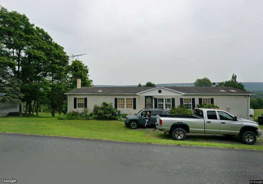
704 Moyers Station Rd Schuylkill Haven, PA 17972
Estimated Value: $331,144 - $425,000
2
Beds
2
Baths
1,971
Sq Ft
$193/Sq Ft
Est. Value
About This Home
This home is located at 704 Moyers Station Rd, Schuylkill Haven, PA 17972 and is currently estimated at $380,786, approximately $193 per square foot. 704 Moyers Station Rd is a home located in Schuylkill County with nearby schools including Blue Mountain High School.
Ownership History
Date
Name
Owned For
Owner Type
Purchase Details
Closed on
Dec 19, 2007
Sold by
King David M
Bought by
Jones Howard S and Jones Amy L
Current Estimated Value
Home Financials for this Owner
Home Financials are based on the most recent Mortgage that was taken out on this home.
Original Mortgage
$141,135
Outstanding Balance
$89,333
Interest Rate
6.3%
Mortgage Type
FHA
Estimated Equity
$291,453
Purchase Details
Closed on
Dec 21, 2006
Sold by
Fulton Bank
Bought by
King David M
Purchase Details
Closed on
May 8, 2006
Sold by
Matukewicz Stanley
Bought by
Fluton Bank
Create a Home Valuation Report for This Property
The Home Valuation Report is an in-depth analysis detailing your home's value as well as a comparison with similar homes in the area
Home Values in the Area
Average Home Value in this Area
Purchase History
| Date | Buyer | Sale Price | Title Company |
|---|---|---|---|
| Jones Howard S | $156,700 | None Available | |
| King David M | $93,000 | None Available | |
| Fluton Bank | $872 | None Available |
Source: Public Records
Mortgage History
| Date | Status | Borrower | Loan Amount |
|---|---|---|---|
| Open | Jones Howard S | $141,135 |
Source: Public Records
Tax History Compared to Growth
Tax History
| Year | Tax Paid | Tax Assessment Tax Assessment Total Assessment is a certain percentage of the fair market value that is determined by local assessors to be the total taxable value of land and additions on the property. | Land | Improvement |
|---|---|---|---|---|
| 2025 | $3,739 | $58,470 | $14,620 | $43,850 |
| 2024 | $3,462 | $58,470 | $14,620 | $43,850 |
| 2023 | $3,462 | $58,470 | $14,620 | $43,850 |
| 2022 | $3,462 | $58,470 | $14,620 | $43,850 |
| 2021 | $3,405 | $58,470 | $14,620 | $43,850 |
| 2020 | $3,297 | $58,470 | $14,620 | $43,850 |
| 2018 | $3,171 | $58,470 | $14,620 | $43,850 |
| 2017 | $3,113 | $58,470 | $14,620 | $43,850 |
| 2015 | -- | $58,470 | $14,620 | $43,850 |
| 2011 | -- | $58,470 | $0 | $0 |
Source: Public Records
Map
Nearby Homes
- 107 Blue Mountain Rd
- 0 Manor Rd
- 234 Frieden Manor
- 11 Spring Rd
- 0 S Route 183 Unit PASK130762
- 773 S Route 183
- 30 Meadow Brook Dr
- 430 Mohave Dr
- 1114 Deturksville Rd
- 441 Wanna Dr
- 174 & 175 Totem Dr
- 174 Totem Dr
- 1386 Long Run Rd
- 988 Horseman Dr
- 981 Horseman Dr
- 287 Hogan Dr
- 288 Hogan Dr
- 1096 Indian Dr
- 979 Deturksville Rd
- 1165 Custer Dr
- 63 Sunny Side Dr
- 310 Summer Hill Rd
- 47 Sunny Side Dr
- 302 Summer Hill Rd
- 14 Sunny Side Dr
- 60 Sunny Side Dr
- 307 Summer Hill Rd
- 54 Sunny Side Dr
- 45 Sunny Side Dr
- 50 Sunny Side Dr
- 606 Summer Hill Rd
- 330 Summer Hill Rd
- 78 Sunny Side Dr
- 338 Summer Hill Rd
- 285 Summer Hill Rd
- 84 Sunny Side Dr
- 36 Sunny Side Dr
- 276 Summer Hill Rd
- 344 Summer Hill Rd
- 343 Summer Hill Rd