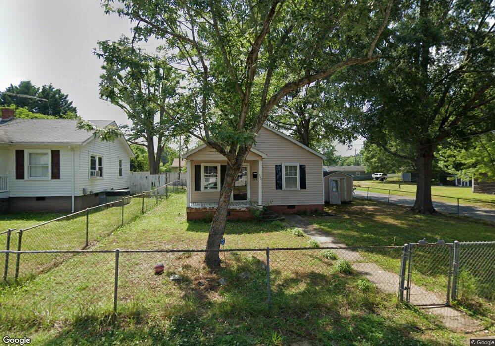
704 S Branch St Monroe, NC 28112
Estimated Value: $118,000 - $216,000
3
Beds
1
Bath
810
Sq Ft
$206/Sq Ft
Est. Value
About This Home
This home is located at 704 S Branch St, Monroe, NC 28112 and is currently estimated at $166,497, approximately $205 per square foot. 704 S Branch St is a home located in Union County with nearby schools including Walter Bickett Elementary School, Monroe Middle School, and Monroe High School.
Ownership History
Date
Name
Owned For
Owner Type
Purchase Details
Closed on
Apr 10, 2008
Sold by
Honeycutt Ina L and Honeycutt Michael
Bought by
Laney Christopher Todd
Current Estimated Value
Purchase Details
Closed on
Jul 21, 1998
Sold by
Jacobs Jeanette and Moser Clifford
Bought by
Laney Christopher Todd and Laney Ina T
Home Financials for this Owner
Home Financials are based on the most recent Mortgage that was taken out on this home.
Original Mortgage
$30,000
Interest Rate
7.02%
Create a Home Valuation Report for This Property
The Home Valuation Report is an in-depth analysis detailing your home's value as well as a comparison with similar homes in the area
Home Values in the Area
Average Home Value in this Area
Purchase History
| Date | Buyer | Sale Price | Title Company |
|---|---|---|---|
| Laney Christopher Todd | -- | None Available | |
| Laney Christopher Todd | $38,000 | -- |
Source: Public Records
Mortgage History
| Date | Status | Borrower | Loan Amount |
|---|---|---|---|
| Previous Owner | Laney Christopher Todd | $30,000 |
Source: Public Records
Tax History Compared to Growth
Tax History
| Year | Tax Paid | Tax Assessment Tax Assessment Total Assessment is a certain percentage of the fair market value that is determined by local assessors to be the total taxable value of land and additions on the property. | Land | Improvement |
|---|---|---|---|---|
| 2024 | $711 | $65,200 | $16,500 | $48,700 |
| 2023 | $711 | $65,200 | $16,500 | $48,700 |
| 2022 | $711 | $65,200 | $16,500 | $48,700 |
| 2021 | $711 | $65,200 | $16,500 | $48,700 |
| 2020 | $550 | $40,800 | $12,800 | $28,000 |
| 2019 | $550 | $40,800 | $12,800 | $28,000 |
| 2018 | $251 | $40,800 | $12,800 | $28,000 |
| 2017 | $558 | $40,800 | $12,800 | $28,000 |
| 2016 | $552 | $40,800 | $12,800 | $28,000 |
| 2015 | $317 | $40,800 | $12,800 | $28,000 |
| 2014 | $636 | $52,170 | $16,100 | $36,070 |
Source: Public Records
Map
Nearby Homes
- 705 Lancaster Ave
- 303 Lancaster Ave
- 903 W Franklin St
- 111 S Washington St
- 400 S Westover Dr
- 000 Crowell St W
- 805 Parker St
- 00 Talleyrand Ave
- 109 N Hayne St Unit 214
- 0 Labon St
- 1102 Lakewood Dr
- 1002 Oak Hill Dr
- 301 E Windsor St
- 1022 Parker St
- 1023 Parker St
- 501 Colony Rd
- 207 Maurice St
- 407 Alton St
- 1302 Kensington Place
- 1201 Onset Place Unit 4
- 706 S Branch St
- 506 S Branch St
- 708 S Branch St
- 797 S Johnson St
- 703 S Branch St
- 710 Pate St
- 507 S Johnson St
- 705 S Branch St
- 799 S Johnson St
- 504 S Branch St
- 708 Pate St
- 802 S Branch St
- 709 Andrew St
- 801 S Branch St
- 801 S Johnson St
- 707 Andrew St
- 502 S Branch St
- 803 S Johnson St
- 705 Andrew St
- 606 Sanford St