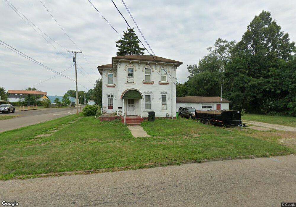
704 Walnut Ave Alliance, OH 44601
Estimated Value: $67,000 - $103,653
4
Beds
2
Baths
1,708
Sq Ft
$51/Sq Ft
Est. Value
About This Home
This home is located at 704 Walnut Ave, Alliance, OH 44601 and is currently estimated at $87,913, approximately $51 per square foot. 704 Walnut Ave is a home located in Stark County with nearby schools including Alliance Early Learning School, Alliance Intermediate School at Northside, and Alliance Middle School.
Ownership History
Date
Name
Owned For
Owner Type
Purchase Details
Closed on
Feb 6, 2015
Sold by
Johnson Larry F
Bought by
King James
Current Estimated Value
Home Financials for this Owner
Home Financials are based on the most recent Mortgage that was taken out on this home.
Original Mortgage
$29,000
Outstanding Balance
$22,130
Interest Rate
3.66%
Mortgage Type
New Conventional
Estimated Equity
$65,783
Create a Home Valuation Report for This Property
The Home Valuation Report is an in-depth analysis detailing your home's value as well as a comparison with similar homes in the area
Home Values in the Area
Average Home Value in this Area
Purchase History
| Date | Buyer | Sale Price | Title Company |
|---|---|---|---|
| King James | $35,000 | None Available |
Source: Public Records
Mortgage History
| Date | Status | Borrower | Loan Amount |
|---|---|---|---|
| Open | King James | $29,000 |
Source: Public Records
Tax History
| Year | Tax Paid | Tax Assessment Tax Assessment Total Assessment is a certain percentage of the fair market value that is determined by local assessors to be the total taxable value of land and additions on the property. | Land | Improvement |
|---|---|---|---|---|
| 2025 | -- | $30,980 | $13,370 | $17,610 |
| 2024 | -- | $30,980 | $13,370 | $17,610 |
| 2023 | $1,648 | $18,210 | $6,760 | $11,450 |
| 2022 | $742 | $18,210 | $6,760 | $11,450 |
| 2021 | $743 | $18,210 | $6,760 | $11,450 |
| 2020 | $583 | $13,340 | $4,900 | $8,440 |
| 2019 | $575 | $13,340 | $4,900 | $8,440 |
| 2018 | $578 | $13,340 | $4,900 | $8,440 |
| 2017 | $540 | $12,260 | $4,100 | $8,160 |
| 2016 | $545 | $12,260 | $4,100 | $8,160 |
| 2015 | $560 | $12,260 | $4,100 | $8,160 |
| 2014 | $613 | $12,780 | $4,340 | $8,440 |
| 2013 | $306 | $12,780 | $4,340 | $8,440 |
Source: Public Records
Map
Nearby Homes
- 849 Walnut Ave
- 710 N Freedom Ave
- 505 N Union Ave
- 717 Garfield Ave
- 11344 Walnut Ave NE
- 361 E Main St
- 62 E Market St
- 171 1/2 W Main St
- 15832 Waverly St NE
- 847 E Patterson St
- 1015 Reed St
- 163 W Market St
- 1025 Reed St
- 264 W Market St
- 33 S Lincoln Ave
- V/L S Freedom Ave
- 16190 River St NE
- 1226 Noble St
- 427 S Union Ave
- 118 S Mckinley Ave
- 707 Walnut Ave
- 719 Walnut Ave
- 732 Walnut Ave
- 660 Walnut Ave
- 731 Walnut Ave
- 665 Walnut Ave Unit 1
- 665 Walnut Ave Unit 2
- 748 Walnut Ave
- 657 Walnut Ave
- 231 Keystone St
- 743 745 Walnut Ave Unit 4
- 743 Walnut Ave
- 743 Walnut Ave Unit 4
- 127 E Keystone St
- 737 Walnut Ave
- 761 Walnut Ave
- 727 N Park Ave
- 240 Keystone St
- 240 Keystone St
- 633 Walnut Ave
Your Personal Tour Guide
Ask me questions while you tour the home.