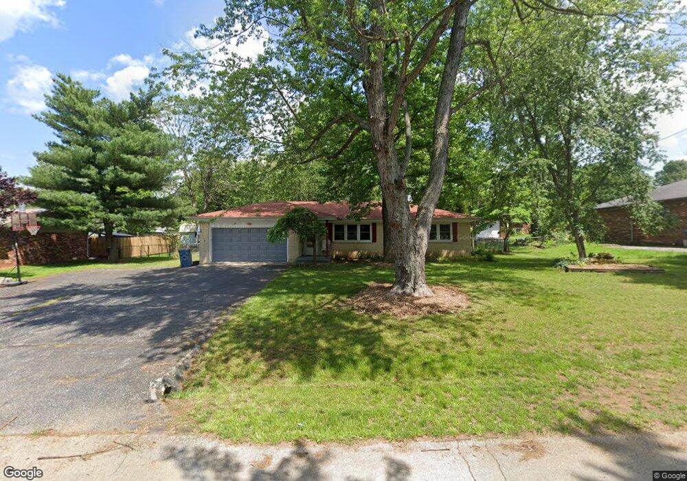
704 Watson St Willard, MO 65781
Estimated Value: $196,000 - $224,000
3
Beds
2
Baths
1,260
Sq Ft
$168/Sq Ft
Est. Value
About This Home
This home is located at 704 Watson St, Willard, MO 65781 and is currently estimated at $211,375, approximately $167 per square foot. 704 Watson St is a home located in Greene County with nearby schools including Willard North Elementary School and Willard Intermediate School North.
Ownership History
Date
Name
Owned For
Owner Type
Purchase Details
Closed on
Dec 6, 2011
Sold by
Willcutt Doug
Bought by
Willcutt Lori
Current Estimated Value
Create a Home Valuation Report for This Property
The Home Valuation Report is an in-depth analysis detailing your home's value as well as a comparison with similar homes in the area
Home Values in the Area
Average Home Value in this Area
Purchase History
| Date | Buyer | Sale Price | Title Company |
|---|---|---|---|
| Willcutt Lori | -- | None Available |
Source: Public Records
Tax History
| Year | Tax Paid | Tax Assessment Tax Assessment Total Assessment is a certain percentage of the fair market value that is determined by local assessors to be the total taxable value of land and additions on the property. | Land | Improvement |
|---|---|---|---|---|
| 2025 | $1,511 | $25,060 | $5,700 | $19,360 |
| 2024 | $1,421 | $22,950 | $4,750 | $18,200 |
| 2023 | $1,417 | $22,950 | $4,750 | $18,200 |
| 2022 | $1,255 | $20,670 | $4,750 | $15,920 |
| 2021 | $1,254 | $20,670 | $4,750 | $15,920 |
| 2020 | $1,250 | $20,240 | $4,750 | $15,490 |
| 2019 | $1,243 | $20,240 | $4,750 | $15,490 |
| 2018 | $1,001 | $16,060 | $4,750 | $11,310 |
| 2017 | $994 | $15,110 | $4,750 | $10,360 |
| 2016 | $933 | $15,110 | $4,750 | $10,360 |
| 2015 | $924 | $15,110 | $4,750 | $10,360 |
| 2014 | $891 | $14,400 | $4,750 | $9,650 |
Source: Public Records
Map
Nearby Homes
- 708 State Highway Ab
- 708 S Main St
- 117 Ridgeview Dr
- 000 Mark St
- 205 Kings Dr
- 825 Pershing St
- 506 S Gauge St
- 409 Jeb St
- 305 Hughes Rd
- 308 Hughes Rd
- 706 Berry Ln
- 314 S Main St
- 476 Lennox St
- 823 Hoffman Hills Blvd
- 479 S Summit Dr
- 461 Baird Ct
- 771 S Bent Tree Ave
- 776 S Bent Tree Ave
- 779 S Bent Tree Ave
- 490 Lennox St
Your Personal Tour Guide
Ask me questions while you tour the home.