Estimated Value: $189,000 - $226,000
Studio
1
Bath
2,132
Sq Ft
$96/Sq Ft
Est. Value
About This Home
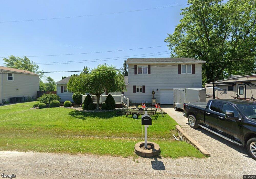
This home is located at 7040 Normandy Ct, Flint, MI 48506 and is currently estimated at $205,601, approximately $96 per square foot. 7040 Normandy Ct is a home located in Genesee County with nearby schools including Weston Elementary School, Leota Fiedler Elementary School, and Kate Dowdall Elementary School.
Ownership History
Date
Name
Owned For
Owner Type
Purchase Details
Closed on
Jul 8, 2015
Sold by
Tinnin Franklin D and Tinnin Patricia
Bought by
Lewis Michael
Current Estimated Value
Purchase Details
Closed on
Mar 14, 2007
Sold by
Harper Vincent A and Harper Margaret M
Bought by
The Bank Of New York Trust Co Na and Jp Morgan Chase Bank Na
Purchase Details
Closed on
Mar 16, 2006
Sold by
Barker Hollis R and Barker Pamela K
Bought by
Harper Vincent A and Harper Margaret M
Create a Home Valuation Report for This Property
The Home Valuation Report is an in-depth analysis detailing your home's value as well as a comparison with similar homes in the area
Home Values in the Area
Average Home Value in this Area
Purchase History
| Date | Buyer | Sale Price | Title Company |
|---|---|---|---|
| Lewis Michael | $100,000 | Bell Title Agency Of Fenton | |
| The Bank Of New York Trust Co Na | $119,000 | None Available | |
| Harper Vincent A | $132,000 | Sargents Title Company |
Source: Public Records
Tax History
| Year | Tax Paid | Tax Assessment Tax Assessment Total Assessment is a certain percentage of the fair market value that is determined by local assessors to be the total taxable value of land and additions on the property. | Land | Improvement |
|---|---|---|---|---|
| 2025 | $2,550 | $101,200 | $0 | $0 |
| 2024 | $753 | $93,200 | $0 | $0 |
| 2023 | $718 | $82,700 | $0 | $0 |
| 2022 | $2,082 | $70,900 | $0 | $0 |
| 2021 | $2,062 | $66,000 | $0 | $0 |
| 2020 | $657 | $63,600 | $0 | $0 |
| 2019 | $647 | $64,100 | $0 | $0 |
| 2018 | $1,276 | $65,000 | $0 | $0 |
| 2017 | $2,195 | $65,000 | $0 | $0 |
| 2016 | $2,180 | $65,200 | $0 | $0 |
| 2015 | $1,445 | $65,900 | $0 | $0 |
| 2014 | $573 | $53,400 | $0 | $0 |
| 2012 | -- | $47,900 | $47,900 | $0 |
Source: Public Records
Map
Nearby Homes
- 7045 Normandy Ct
- 6367 E Pierson Rd
- 5165 N Irish Rd
- 5177 N Irish Rd
- 6443 Richfield Rd
- 1240 N Irish Rd
- 4126 N Belsay Rd
- 6076 E Carpenter Rd
- 6490 E Coldwater Rd
- 3424 N Irish Rd
- 5411 Squire Ln
- 0 Whisper Ridge Ct
- 5131 E Carpenter Rd
- 2401 Mcclellan Blvd
- 4044 N Genesee Rd
- 312 Black Oak Ct
- 4465 Market Place
- 4489 Home Town Dr Unit 32
- 3478 N Gale Rd
- 4459 Market Place
- 7030 Normandy Ct
- 7050 Normandy Ct
- 7035 Normandy Ct
- 7025 Normandy Ct
- 7020 Normandy Ct
- 7017 Normandy Ct
- 4420 N Vassar Rd
- 4348 N Vassar Rd
- 4356 N Vassar Rd
- 4374 N Vassar Rd
- 4432 N Vassar Rd Unit Bldg-Unit
- 4432 N Vassar Rd
- 4370 N Vassar Rd
- 4450 N Vassar Rd
- 4393 N Vassar Rd
- 4338 N Vassar Rd
- 4383 N Vassar Rd
- 4421 N Vassar Rd
- 4375 N Vassar Rd
- 4441 N Vassar Rd
Your Personal Tour Guide
Ask me questions while you tour the home.