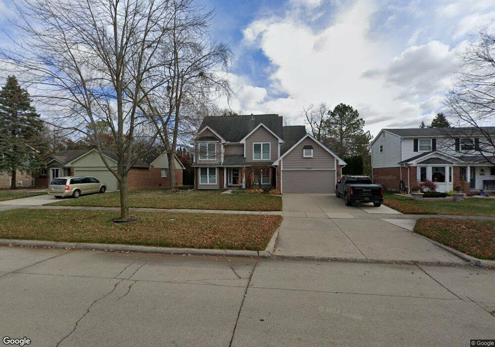
7040 Weatherfield Way Canton, MI 48187
Sunflower Village NeighborhoodEstimated Value: $474,000 - $521,000
4
Beds
3
Baths
1,982
Sq Ft
$248/Sq Ft
Est. Value
About This Home
This home is located at 7040 Weatherfield Way, Canton, MI 48187 and is currently estimated at $491,605, approximately $248 per square foot. 7040 Weatherfield Way is a home located in Wayne County with nearby schools including Canton High School, Plymouth High School, and Salem High School.
Ownership History
Date
Name
Owned For
Owner Type
Purchase Details
Closed on
Feb 12, 2021
Sold by
Tavian Norman D and Tavian Dawn M
Bought by
Winningham Brandon and Winningham Melissa
Current Estimated Value
Purchase Details
Closed on
Jun 25, 2010
Sold by
The Marlene A Hoefler Revocable Trust
Bought by
Tavian Norman D and Tavian Dawn M
Purchase Details
Closed on
Nov 16, 2004
Sold by
Hoefler Donald E and Hoefler Marlene A
Bought by
Hoefler Donald E and Donald E Hoefler Revocable Trust
Create a Home Valuation Report for This Property
The Home Valuation Report is an in-depth analysis detailing your home's value as well as a comparison with similar homes in the area
Home Values in the Area
Average Home Value in this Area
Purchase History
| Date | Buyer | Sale Price | Title Company |
|---|---|---|---|
| Winningham Brandon | $371,000 | Stewart Title Group | |
| Tavian Norman D | $222,000 | None Available | |
| Hoefler Donald E | -- | -- | |
| Hoefler Marlene A | -- | -- |
Source: Public Records
Tax History Compared to Growth
Tax History
| Year | Tax Paid | Tax Assessment Tax Assessment Total Assessment is a certain percentage of the fair market value that is determined by local assessors to be the total taxable value of land and additions on the property. | Land | Improvement |
|---|---|---|---|---|
| 2025 | $3,276 | $208,300 | $0 | $0 |
| 2024 | $3,276 | $197,400 | $0 | $0 |
| 2023 | $3,123 | $183,600 | $0 | $0 |
| 2022 | $6,764 | $164,700 | $0 | $0 |
| 2021 | $5,183 | $156,600 | $0 | $0 |
| 2020 | $5,118 | $151,200 | $0 | $0 |
| 2019 | $5,024 | $144,930 | $0 | $0 |
| 2018 | $2,081 | $143,190 | $0 | $0 |
| 2017 | $5,107 | $141,400 | $0 | $0 |
| 2016 | $4,568 | $139,600 | $0 | $0 |
| 2015 | $11,432 | $130,810 | $0 | $0 |
| 2013 | $11,075 | $119,420 | $0 | $0 |
| 2010 | -- | $118,550 | $49,000 | $69,550 |
Source: Public Records
Map
Nearby Homes
- 7225 Camelia Ct
- 46500 E Oak Manor Ct
- 6844 Woodmere Dr
- 45900 Gainsborough Dr
- 47691 Royal Pointe Dr
- 6596 Chadwick Dr
- 7040 Royal Villa Ct Unit 6
- 6750 N Canton Center Rd
- 45812 Bartlett Dr
- 45412 Embassy Ct
- 8140 N Pointe Ct
- 00000 Maben Rd
- 0 N Beck Rd
- 50782 Ross St
- 48590 Ford Rd
- 6680 Kings Mill Dr
- 6894 Kings Mill Dr
- 45139 Indian Creek Dr
- 47582 Fox Ct
- 48107 Hanford Rd
- 7040 Weathersfield Way
- 7058 Weatherfield Way
- 7022 Weatherfield Way
- 7004 Weathersfield Way
- 7076 Weatherfield Way
- 7004 Weatherfield Way
- 7076 Weathersfield Way
- 7094 Weathersfield Way
- 7094 Weatherfield Way
- 7041 Weatherfield Way
- 6986 Weatherfield Way
- 7059 Weatherfield Way
- 7077 Weathersfield Way
- 7023 Weatherfield Way
- 7077 Weatherfield Way
- 7005 Weatherfield Way
- 7112 Weatherfield Way
- 7095 Weatherfield Way
- 6968 Weatherfield Way
- 7084 Oakleaf Ct