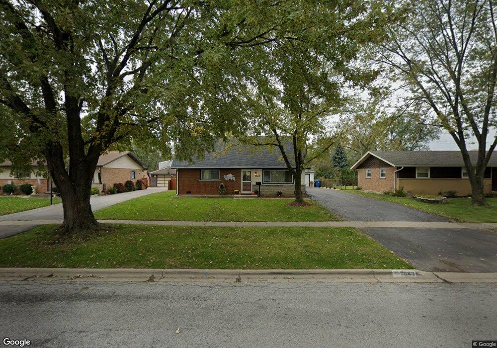
7043 Stanford Dr Bridgeview, IL 60455
Little Palestine NeighborhoodEstimated Value: $269,000 - $303,000
4
Beds
2
Baths
950
Sq Ft
$301/Sq Ft
Est. Value
About This Home
This home is located at 7043 Stanford Dr, Bridgeview, IL 60455 and is currently estimated at $285,560, approximately $300 per square foot. 7043 Stanford Dr is a home located in Cook County with nearby schools including George W Lieb Elementary School, Simmons Middle School, and Oak Lawn Community High School.
Ownership History
Date
Name
Owned For
Owner Type
Purchase Details
Closed on
Aug 23, 2017
Sold by
Brunni Paul E
Bought by
Manriquez Miguel and Manriquez Virginia
Current Estimated Value
Home Financials for this Owner
Home Financials are based on the most recent Mortgage that was taken out on this home.
Original Mortgage
$166,822
Outstanding Balance
$138,861
Interest Rate
3.87%
Mortgage Type
FHA
Estimated Equity
$146,699
Create a Home Valuation Report for This Property
The Home Valuation Report is an in-depth analysis detailing your home's value as well as a comparison with similar homes in the area
Home Values in the Area
Average Home Value in this Area
Purchase History
| Date | Buyer | Sale Price | Title Company |
|---|---|---|---|
| Manriquez Miguel | $170,000 | North American Title |
Source: Public Records
Mortgage History
| Date | Status | Borrower | Loan Amount |
|---|---|---|---|
| Open | Manriquez Miguel | $166,822 |
Source: Public Records
Tax History Compared to Growth
Tax History
| Year | Tax Paid | Tax Assessment Tax Assessment Total Assessment is a certain percentage of the fair market value that is determined by local assessors to be the total taxable value of land and additions on the property. | Land | Improvement |
|---|---|---|---|---|
| 2024 | $5,633 | $20,000 | $4,410 | $15,590 |
| 2023 | $4,230 | $20,000 | $4,410 | $15,590 |
| 2022 | $4,230 | $14,020 | $3,835 | $10,185 |
| 2021 | $4,147 | $14,020 | $3,835 | $10,185 |
| 2020 | $4,150 | $14,020 | $3,835 | $10,185 |
| 2019 | $4,368 | $14,879 | $3,451 | $11,428 |
| 2018 | $4,171 | $14,879 | $3,451 | $11,428 |
| 2017 | $5,386 | $14,879 | $3,451 | $11,428 |
| 2016 | $3,078 | $12,912 | $2,876 | $10,036 |
| 2015 | $3,085 | $12,912 | $2,876 | $10,036 |
| 2014 | $3,033 | $12,912 | $2,876 | $10,036 |
| 2013 | $3,503 | $15,426 | $2,876 | $12,550 |
Source: Public Records
Map
Nearby Homes
- 7101 Stanford Dr
- 7117 W 93rd St Unit 306
- 7101 Birch St
- 7100 W 95th St Unit 312
- 9236 Pembroke Ln
- 9128 Pembroke Ln
- 9236 Stanford Dr
- 6906 W 91st St
- 6705 W 91st Place
- 9149 Beloit Ave
- 9250 Beloit Ave Unit 104
- 8912 Windsor Ln
- 8200 Normandy Ave
- 6632 W 95th St Unit 2C
- 6634 W 95th St Unit 1D
- 9708 Nottingham Ave Unit 9
- 9708 Nottingham Ave Unit 11
- 6800 W 97th St
- 7000 Mather Ave Unit 101
- 8738 Newland Ave
- 7037 Stanford Dr
- 7049 Stanford Dr
- 7031 Stanford Dr
- 7055 Stanford Dr
- 7042 Stanford Dr
- 9300 Nordica Ave
- 7048 Stanford Dr
- 7023 Stanford Dr
- 9301 Nordica Ave
- 7036 Stanford Dr
- 9306 Nordica Ave
- 7100 Stanford Dr
- 7019 Stanford Dr
- 7107 Stanford Dr
- 9307 Nordica Ave
- 7020 Stanford Dr
- 7049 Dover St
- 7037 Dover St
- 7108 Stanford Dr
- 7055 Dover St