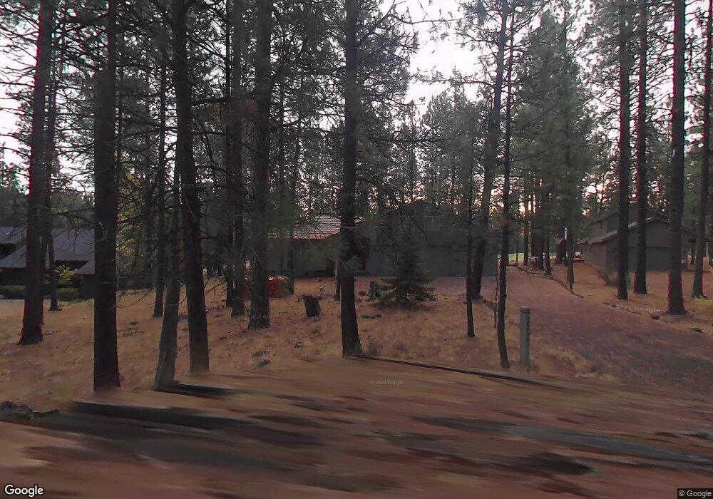
70452 Fleabane Unit GM137 Black Butte Ranch, OR 97759
Estimated Value: $936,523 - $1,049,000
3
Beds
2
Baths
1,766
Sq Ft
$556/Sq Ft
Est. Value
About This Home
This home is located at 70452 Fleabane Unit GM137, Black Butte Ranch, OR 97759 and is currently estimated at $981,174, approximately $555 per square foot. 70452 Fleabane Unit GM137 is a home located in Deschutes County with nearby schools including Sisters Elementary School, Sisters Middle School, and Sisters High School.
Ownership History
Date
Name
Owned For
Owner Type
Purchase Details
Closed on
Oct 4, 2022
Sold by
Monahan Douglas B and Monahan Kim R
Bought by
Monahan Living Trust
Current Estimated Value
Purchase Details
Closed on
Jul 19, 2018
Sold by
Shick Donald Robdrt and Shick Suzanne
Bought by
Monahan Douglas B and Monahan Kim R
Purchase Details
Closed on
Jun 30, 2016
Sold by
Shick Donald Robert and Shick Suzanne
Bought by
Shick Joint Trust
Purchase Details
Closed on
Sep 29, 2011
Sold by
Shick Donald Robert and Shick Suzanne
Bought by
Cigarroa Joaquin Emeterio and Cigarroa Carolyn R
Purchase Details
Closed on
Sep 27, 2011
Sold by
Shick Donald Robert and Shick Suzanne
Bought by
Sheketoff A Charles and Rakha Naseem A
Create a Home Valuation Report for This Property
The Home Valuation Report is an in-depth analysis detailing your home's value as well as a comparison with similar homes in the area
Home Values in the Area
Average Home Value in this Area
Purchase History
| Date | Buyer | Sale Price | Title Company |
|---|---|---|---|
| Monahan Living Trust | -- | -- | |
| Monahan Douglas B | $209,500 | Western Title & Escrow | |
| Shick Joint Trust | -- | None Available | |
| Cigarroa Joaquin Emeterio | $205,000 | Amerititle | |
| Sheketoff A Charles | $205,000 | Amerititle |
Source: Public Records
Tax History Compared to Growth
Tax History
| Year | Tax Paid | Tax Assessment Tax Assessment Total Assessment is a certain percentage of the fair market value that is determined by local assessors to be the total taxable value of land and additions on the property. | Land | Improvement |
|---|---|---|---|---|
| 2024 | $8,688 | $553,250 | -- | -- |
| 2023 | $8,334 | $537,140 | $0 | $0 |
| 2022 | $7,739 | $498,230 | $0 | $0 |
| 2021 | $7,696 | $483,720 | $0 | $0 |
| 2020 | $7,303 | $483,720 | $0 | $0 |
| 2019 | $7,079 | $469,640 | $0 | $0 |
| 2018 | $6,886 | $455,970 | $0 | $0 |
| 2017 | $6,638 | $442,690 | $0 | $0 |
| 2016 | $6,520 | $429,800 | $0 | $0 |
| 2015 | $6,177 | $417,290 | $0 | $0 |
| 2014 | $5,944 | $405,140 | $0 | $0 |
Source: Public Records
Map
Nearby Homes
- 13637 Wolfberry Unit GM 142
- 70340 Sword Fern Gm246
- 70332 Sword Fern Unit GM 245
- 70474 Alum Root
- 13699 Speedwell Unit GM90
- 70311 Forsythia Unit GM277
- 70661 Steeple Bush Unit SM202
- 70684 Steeple Bush Unit SM 153
- 70665 Buck Brush Unit SM 89
- 13375 Spirea Unit GM 375
- 70686 Buck Brush Unit SM85
- 70701 Pasque Flower Unit SM94
- 70440 Linnaea Borealis Unit GM395
- 70755 Ponderosa Ln Unit SM 177
- 13584 Nine Bark
- 70347 Cinquefoil Unit GM 188
- 13452 Foin Follette Unit GM 300
- 13471 Foin Follette Unit GM 298
- 70780 Bitter Root
- 13579 Sundew Unit SM34
- 70452 Fleabane
- 70452 Fleabane Share B Unit GM137
- 70452 Fleabane Share A Unit GM137
- 70448 Ponderosa Ln
- 70448 Ponderosa Ln Unit GM138
- 70448 Pondersosa (Gm138)
- 70456 Fleabane Unit GM136
- 70432 Ponderosa Ln Unit GM139
- 70432 Ponderosa Ln
- 70462 Fleabane
- 70462 Fleabane Unit GM135
- 70443 Ponderosa Ln
- 70435 Ponderosa Ln Unit GM111
- 70470 Fleabane Unit GM134
- 70465 Ponderosa Ln Unit GM114
- 70435 Cutmint Gm220
- 13621 Wolfberry Unit GM140
- 13621 Wolfberry
- 13629 Wolfberry Gm 141