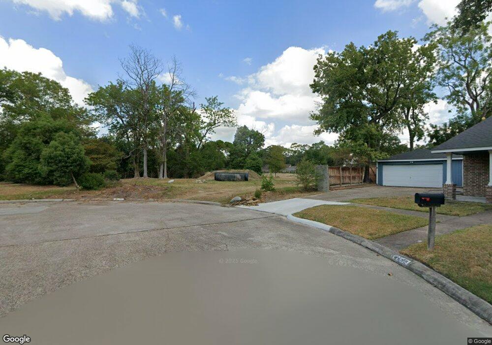
7047 Bent Branch Dr Houston, TX 77088
Greater Inwood NeighborhoodEstimated Value: $313,000 - $423,000
3
Beds
4
Baths
3,162
Sq Ft
$116/Sq Ft
Est. Value
About This Home
This home is located at 7047 Bent Branch Dr, Houston, TX 77088 and is currently estimated at $368,000, approximately $116 per square foot. 7047 Bent Branch Dr is a home located in Harris County with nearby schools including Edward a Vines EC/Pre-K/K School, J. Ruth Smith Elementary, and Hoffman Middle School.
Ownership History
Date
Name
Owned For
Owner Type
Purchase Details
Closed on
Aug 27, 2019
Sold by
Perez Caroline and Perez James
Bought by
Harris County Flood Control District
Current Estimated Value
Purchase Details
Closed on
Jul 25, 2014
Sold by
Lawrence Antoinette Addy and Lawrence Charles Robert
Bought by
Perez Caroline and Perez James
Home Financials for this Owner
Home Financials are based on the most recent Mortgage that was taken out on this home.
Original Mortgage
$215,033
Interest Rate
4.23%
Mortgage Type
FHA
Create a Home Valuation Report for This Property
The Home Valuation Report is an in-depth analysis detailing your home's value as well as a comparison with similar homes in the area
Home Values in the Area
Average Home Value in this Area
Purchase History
| Date | Buyer | Sale Price | Title Company |
|---|---|---|---|
| Harris County Flood Control District | $205,000 | South Land Title Llc | |
| Perez Caroline | -- | Startex Title Co |
Source: Public Records
Mortgage History
| Date | Status | Borrower | Loan Amount |
|---|---|---|---|
| Previous Owner | Perez Caroline | $215,033 |
Source: Public Records
Tax History Compared to Growth
Tax History
| Year | Tax Paid | Tax Assessment Tax Assessment Total Assessment is a certain percentage of the fair market value that is determined by local assessors to be the total taxable value of land and additions on the property. | Land | Improvement |
|---|---|---|---|---|
| 2025 | -- | -- | -- | -- |
| 2024 | -- | -- | -- | -- |
| 2023 | $48 | -- | -- | -- |
| 2022 | $48 | $0 | $0 | $0 |
| 2021 | $520 | $20,688 | $20,688 | $0 |
| 2020 | $4,542 | $250,526 | $20,688 | $229,838 |
| 2019 | $4,329 | $242,540 | $20,688 | $221,852 |
| 2018 | $1,683 | $142,211 | $20,688 | $121,523 |
| 2017 | $4,568 | $172,209 | $20,688 | $151,521 |
| 2016 | $4,568 | $172,209 | $20,688 | $151,521 |
| 2015 | $1,157 | $0 | $0 | $0 |
| 2014 | $1,157 | $90,000 | $20,688 | $69,312 |
Source: Public Records
Map
Nearby Homes
- 6918 Bent Branch Dr
- 7146 Bayou Forest Dr
- 6931 Wagonwheel Ln
- 6202 Wagonwheel Cir
- 7218 Jadewood Dr Unit 770
- 6311 Fairwood Dr
- 7219 Ridge Oak Dr
- 6338 Maple Hill Dr
- 6310 Silver Chalice Dr
- 5906 Lawn Ln
- 5914 Lawn Ln
- 7402 Alabonson Rd Unit 506
- 7402 Alabonson Rd Unit 309
- 7402 Alabonson Rd Unit 510
- 7402 Alabonson Rd Unit 108
- 5907 Darkwood Dr
- 7727 Green Lawn Dr
- 6430 Pirtlewood Cir
- 6407 Deirdre Anne Dr
- 7750 Green Lawn Dr
- 7042 Bent Branch Dr
- 7043 Bent Branch Dr
- 7039 Bent Branch Dr
- 7038 Bent Branch Dr
- 7035 Bent Branch Dr
- 7034 Bent Branch Dr
- 7026 Wagonwheel Ln
- 7027 Bent Branch Dr
- 7030 Bent Branch Dr
- 7131 Bayou Forest Dr
- 7127 Bayou Forest Dr
- 7119 Bayou Forest Dr
- 7022 Wagonwheel Ln
- 7023 Wagonwheel Ln
- 7023 Bent Branch Dr
- 7135 Bayou Forest Dr
- 7115 Bayou Forest Dr
- 7139 Bayou Forest Dr
- 7111 Bayou Forest Dr
- 7019 Bent Branch Dr