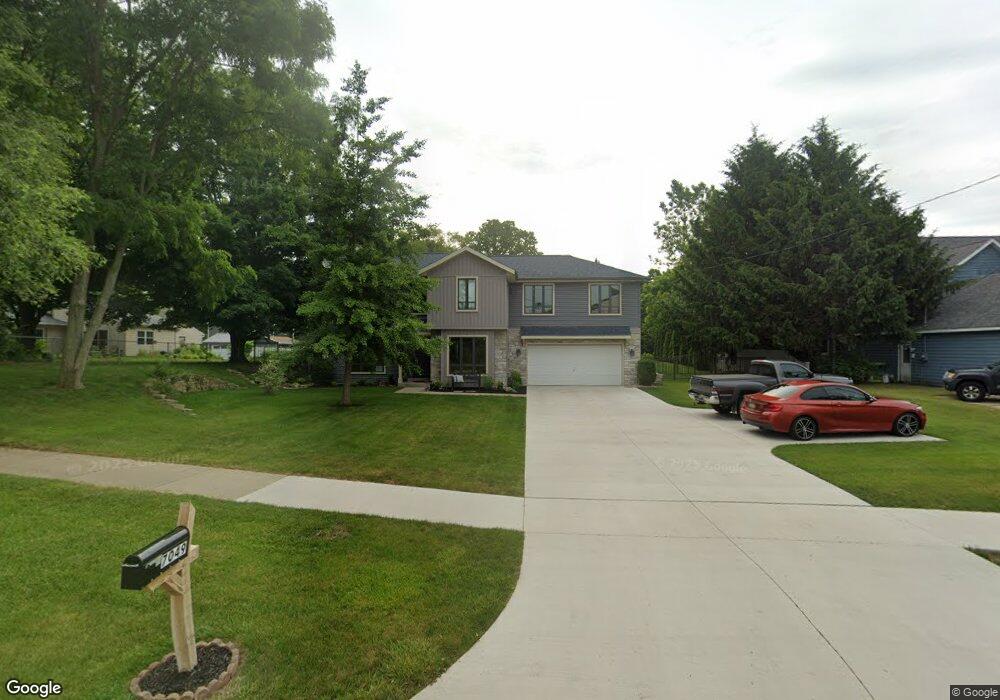
7049 Moorsbridge Rd Portage, MI 49024
Estimated Value: $396,000 - $440,000
3
Beds
3
Baths
1,648
Sq Ft
$255/Sq Ft
Est. Value
About This Home
This home is located at 7049 Moorsbridge Rd, Portage, MI 49024 and is currently estimated at $419,825, approximately $254 per square foot. 7049 Moorsbridge Rd is a home located in Kalamazoo County with nearby schools including Moorsbridge Elementary School, Portage West Middle School, and Portage Northern High School.
Ownership History
Date
Name
Owned For
Owner Type
Purchase Details
Closed on
Mar 18, 2024
Sold by
White Michael J
Bought by
White Michael J
Current Estimated Value
Purchase Details
Closed on
Sep 8, 2015
Sold by
Educational Community Credit Union
Bought by
Konyndyk Dustin
Purchase Details
Closed on
Nov 10, 2014
Sold by
White Michael Jon
Bought by
White Michael Jon and Plont Tami Sue
Create a Home Valuation Report for This Property
The Home Valuation Report is an in-depth analysis detailing your home's value as well as a comparison with similar homes in the area
Home Values in the Area
Average Home Value in this Area
Purchase History
| Date | Buyer | Sale Price | Title Company |
|---|---|---|---|
| White Michael J | -- | None Listed On Document | |
| White Michael J | -- | None Listed On Document | |
| Konyndyk Dustin | $21,500 | Chicago Title | |
| White Michael Jon | -- | None Available |
Source: Public Records
Tax History Compared to Growth
Tax History
| Year | Tax Paid | Tax Assessment Tax Assessment Total Assessment is a certain percentage of the fair market value that is determined by local assessors to be the total taxable value of land and additions on the property. | Land | Improvement |
|---|---|---|---|---|
| 2025 | $6,372 | $215,700 | $0 | $0 |
| 2024 | $5,610 | $169,300 | $0 | $0 |
| 2023 | $5,347 | $149,000 | $0 | $0 |
| 2022 | $5,778 | $140,500 | $0 | $0 |
| 2021 | $5,584 | $135,000 | $0 | $0 |
| 2020 | $5,463 | $130,300 | $0 | $0 |
| 2019 | $492 | $119,300 | $0 | $0 |
| 2018 | $0 | $120,600 | $0 | $0 |
| 2017 | $0 | $121,000 | $0 | $0 |
| 2016 | -- | $118,300 | $0 | $0 |
| 2015 | -- | $116,400 | $0 | $0 |
| 2014 | -- | $117,200 | $0 | $0 |
Source: Public Records
Map
Nearby Homes
- 3320 Scots Pine Way Unit 2
- 6876 Towhee St
- 3522 Bellflower Dr
- 3318 Davcliff Ave
- 7236 Hampstead Ln Unit 18
- 6645 Oleander Ln
- 6740 Amberly St
- 3638 Bellflower Dr
- 3737 Bellflower Dr
- 2801 Daventry Ave
- 2604 Radcliffe Ave
- 7481 Turnberry Ct
- 6605 Rothbury St
- 7464 Saint George Cir
- 3034 Tattersall Rd
- 3653 Tartan Cir
- 6748 Trotwood St
- 7160 Crown Pointe Cir
- 6576 Isabelle St
- 6636 Trotwood St
- 7069 Moorsbridge Rd
- 3217 Romence Rd
- 3215 Romence Rd
- 3320 Scots Pine Way
- 3342 Scots Pine Way Unit 5
- 3338 Scots Pine Way Unit 4
- 3350 Scots Pine Way Unit 6
- 3350 Scots Pine Way
- 3346 Scots Pine Way Unit 3
- 3358 Scots Pine Way Unit 2
- 3354 Scots Pine Way Unit 2
- 0 Scots Pine Way
- 3366 Scots Pine Way Unit 8
- 3117 Romence Rd
- 3362 Scots Pine Way Unit 1
- 3123 Romence Rd
- 3355 Scots Pine Way Unit 9
- 3357 Scots Pine Way
- 3370 Scots Pine Way
- 3365 Scots Pine Way