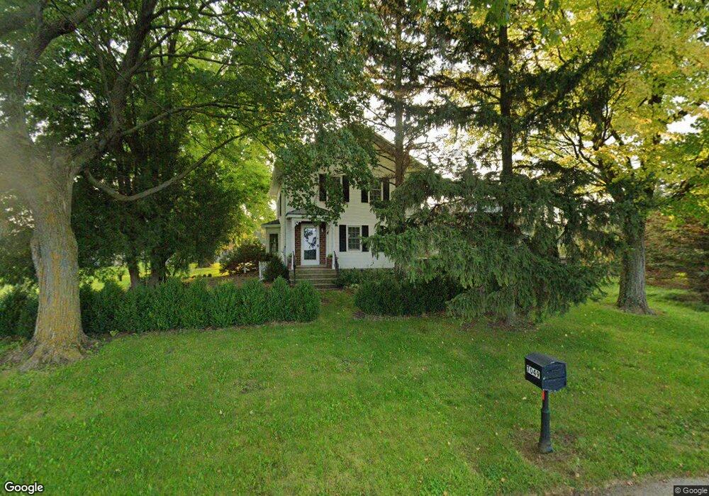
7049 Rhyner Rd Neenah, WI 54956
Estimated Value: $330,000 - $632,483
--
Bed
--
Bath
--
Sq Ft
10
Acres
About This Home
This home is located at 7049 Rhyner Rd, Neenah, WI 54956 and is currently estimated at $478,828. 7049 Rhyner Rd is a home located in Winnebago County with nearby schools including Winneconne Elementary School, Winneconne Middle School, and Winneconne High School.
Ownership History
Date
Name
Owned For
Owner Type
Purchase Details
Closed on
Jun 25, 2020
Sold by
Schein Thomas P and Revoc April
Bought by
Balm Of Gilead Farm Llc
Current Estimated Value
Purchase Details
Closed on
Sep 30, 2009
Sold by
Diedrich Roger John and Diedrich Roger J
Bought by
Schein Thomas P and Schein April D
Home Financials for this Owner
Home Financials are based on the most recent Mortgage that was taken out on this home.
Original Mortgage
$159,200
Interest Rate
5.15%
Mortgage Type
New Conventional
Create a Home Valuation Report for This Property
The Home Valuation Report is an in-depth analysis detailing your home's value as well as a comparison with similar homes in the area
Home Values in the Area
Average Home Value in this Area
Purchase History
| Date | Buyer | Sale Price | Title Company |
|---|---|---|---|
| Balm Of Gilead Farm Llc | -- | None Listed On Document | |
| Schein Thomas P | $199,000 | None Available |
Source: Public Records
Mortgage History
| Date | Status | Borrower | Loan Amount |
|---|---|---|---|
| Previous Owner | Schein Thomas P | $159,200 |
Source: Public Records
Tax History Compared to Growth
Tax History
| Year | Tax Paid | Tax Assessment Tax Assessment Total Assessment is a certain percentage of the fair market value that is determined by local assessors to be the total taxable value of land and additions on the property. | Land | Improvement |
|---|---|---|---|---|
| 2024 | $5,728 | $586,400 | $98,000 | $488,400 |
| 2023 | $4,678 | $304,600 | $41,300 | $263,300 |
| 2022 | $4,669 | $304,500 | $41,200 | $263,300 |
| 2021 | $4,376 | $304,600 | $41,300 | $263,300 |
| 2020 | $4,601 | $304,600 | $41,300 | $263,300 |
| 2019 | $4,528 | $304,600 | $41,300 | $263,300 |
| 2018 | $4,417 | $304,600 | $41,300 | $263,300 |
| 2017 | $4,713 | $304,600 | $41,300 | $263,300 |
| 2016 | $4,534 | $304,600 | $41,300 | $263,300 |
| 2015 | $4,769 | $304,600 | $41,300 | $263,300 |
| 2014 | -- | $304,600 | $41,300 | $263,300 |
| 2013 | -- | $304,600 | $41,300 | $263,300 |
Source: Public Records
Map
Nearby Homes
- 6682 Hilltop Rd
- 3110 Oakridge Rd
- 4471 Grimson Rd
- 1720 Freeman Dr
- 1724 Freeman Dr
- 1727 Sovereign Way
- 1742 Freeman Dr
- 1739 Sovereign Way
- 1741 Freeman Dr
- 1633 Founders St
- 1743 Legacy Ln
- 1732 Freeman Dr
- 1729 Freeman Dr
- 1641-HA-51 Plan at Freedom Meadows
- 1600-CH-55 Plan at Freedom Meadows
- 1365-BA-53.6 Plan at Freedom Meadows
- 1456-HA-48 Plan at Freedom Meadows
- 1620-PA-44.5 Plan at Freedom Meadows
- 1560-CH-55 Plan at Freedom Meadows
- 1600-AS-56 Plan at Freedom Meadows
- 7074 Rhyner Rd
- 7088 Rhyner Rd
- 7094 Rhyner Rd
- 6954 Rhyner Rd
- 7149 Rhyner Rd
- 3824 County Road G
- 3830 County Road G
- 7154 Rhyner Rd
- 3849 County Road G
- 3908 County Road G
- 6770 County Road T
- 3930 County Road G
- 3933 County Road G
- 3468 County Road G
- 3956 County Road G
- 3943 County Road G
- 3581 Breezewood Ln
- 3514 Breezewood Ln
- 0 Breezewood Ln
- 3511 Breezewood Ln