Estimated Value: $1,621,146
Studio
--
Bath
480
Sq Ft
$3,377/Sq Ft
Est. Value
About This Home
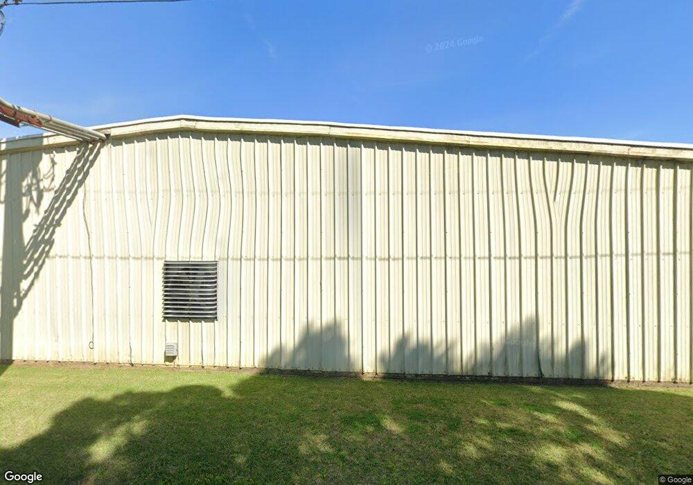
This home is located at 705 4th Ave SE, Cairo, GA 39828 and is currently estimated at $1,621,146, approximately $3,377 per square foot. 705 4th Ave SE is a home with nearby schools including Cairo High School.
Ownership History
Date
Name
Owned For
Owner Type
Purchase Details
Closed on
May 10, 2005
Sold by
Dean Pickle and Dean Specialty
Bought by
Grady County Joint Development
Current Estimated Value
Purchase Details
Closed on
Apr 28, 2005
Sold by
Dean Pickle and Dean Specialty
Bought by
Grady County Joint Development
Purchase Details
Closed on
Jan 2, 1973
Sold by
Roddenbery Co Inc W B
Bought by
Roddenbery W B Co Inc
Create a Home Valuation Report for This Property
The Home Valuation Report is an in-depth analysis detailing your home's value as well as a comparison with similar homes in the area
Purchase History
| Date | Buyer | Sale Price | Title Company |
|---|---|---|---|
| Grady County Joint Development | -- | -- | |
| Grady County Joint Development | -- | -- | |
| Roddenbery W B Co Inc | -- | -- |
Source: Public Records
Tax History
| Year | Tax Paid | Tax Assessment Tax Assessment Total Assessment is a certain percentage of the fair market value that is determined by local assessors to be the total taxable value of land and additions on the property. | Land | Improvement |
|---|---|---|---|---|
| 2024 | -- | $523,510 | $283,800 | $239,710 |
| 2023 | $0 | $1,266,108 | $283,800 | $982,308 |
| 2022 | $45,365 | $1,266,108 | $283,800 | $982,308 |
| 2021 | $45,365 | $1,266,108 | $283,800 | $982,308 |
| 2020 | $45,365 | $1,266,108 | $283,800 | $982,308 |
| 2019 | $45,365 | $1,266,108 | $283,800 | $982,308 |
| 2018 | $45,365 | $1,266,108 | $283,800 | $982,308 |
| 2017 | $0 | $1,266,108 | $283,800 | $982,308 |
| 2016 | -- | $1,266,108 | $283,800 | $982,308 |
| 2015 | -- | $1,266,108 | $283,800 | $982,308 |
| 2014 | -- | $1,266,108 | $283,800 | $982,308 |
| 2013 | -- | $1,266,104 | $1,266,104 | $0 |
Source: Public Records
Map
Nearby Homes
- 711 2nd Ave NE
- 00 Blackberry Ln
- 00 Meridian Rd
- 580 5th St SE
- 309 3rd St SE
- 530 6th Ave SE
- 4761 Hadley Ferry Rd
- 00 Hwy 111 South Tract 1
- X 1st St
- 0 1st St
- 592 20th St SE
- 0 20th St NE
- 00 20th St NE
- 530 6th St
- 408 Bay Tree Rd NE
- 2975 U S 84
- 125 6th Ave NW
- 460 2nd St SW
- 00 00 Hwy 111 South Tract 2
- 306 Midland Place
Your Personal Tour Guide
Ask me questions while you tour the home.