Estimated Value: $203,000 - $265,000
About This Home
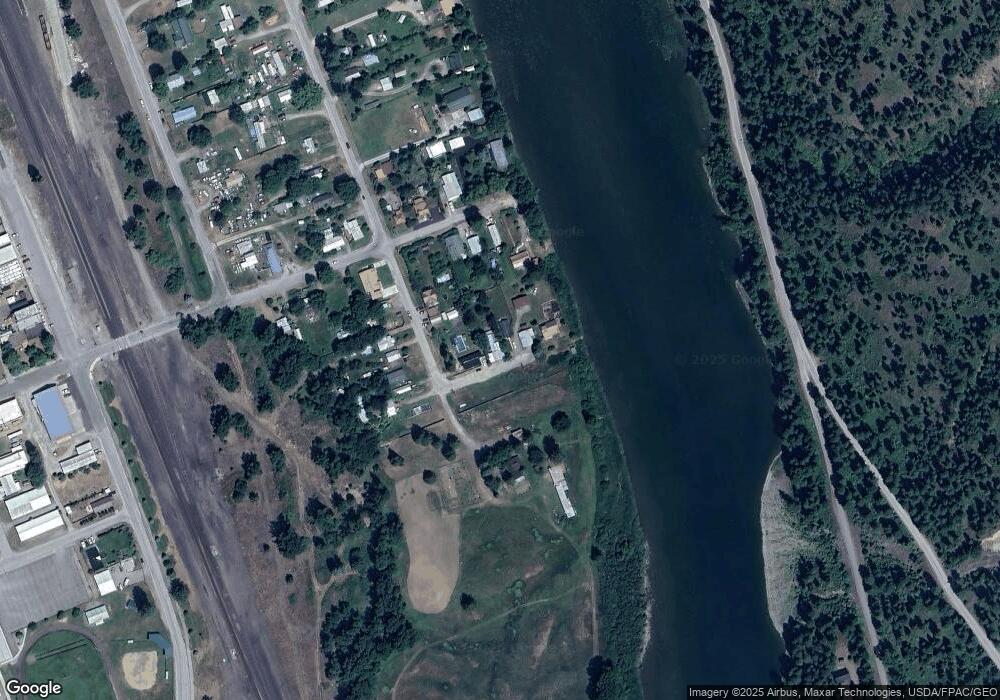
This home is located at 705 4th St, Troy, MT 59935 and is currently estimated at $230,983, approximately $177 per square foot. 705 4th St is a home with nearby schools including W.F. Morrison School, Troy Junior High School, and Troy High School.
Ownership History
We collect this data history from publicly available records. To have your information removed, we recommend requesting removal directly through your county’s website.
Purchase Details
Purchase Details
Purchase Details
Purchase Details
Purchase Details
Purchase History
We collect this data history from publicly available records. To have your information removed, we recommend requesting removal directly through your county’s website.
| Date | Buyer | Sale Price | Title Company |
|---|---|---|---|
| -- | None Listed On Document | ||
| -- | None Listed On Document | ||
| -- | None Listed On Document | ||
| -- | None Listed On Document | ||
| -- | None Listed On Document | ||
| -- | None Available |
Tax History
We collect this data history from publicly available records. To have your information removed, we recommend requesting removal directly through your county’s website.
| Year | Tax Paid | Tax Assessment Tax Assessment Total Assessment is a certain percentage of the fair market value that is determined by local assessors to be the total taxable value of land and additions on the property. | Land | Improvement |
|---|---|---|---|---|
| 2025 | $998 | $214,793 | $0 | $0 |
| 2024 | $596 | $144,688 | $0 | $0 |
| 2023 | $787 | $144,688 | $0 | $0 |
| 2022 | $427 | $84,800 | $0 | $0 |
| 2021 | $481 | $84,800 | $0 | $0 |
| 2020 | $1,117 | $85,400 | $0 | $0 |
| 2019 | $1,102 | $85,400 | $0 | $0 |
| 2018 | $737 | $72,100 | $0 | $0 |
| 2017 | $393 | $72,100 | $0 | $0 |
| 2016 | $580 | $55,900 | $0 | $0 |
| 2015 | $526 | $55,900 | $0 | $0 |
| 2014 | $752 | $42,580 | $0 | $0 |
Map
- 716 Kootenai River Rd
- Nhn Kootenai River Rd
- 213 E Missoula Ave
- 209 E Mineral Ave
- 514 E Grant Ave
- 707 E Grant Ave
- TBD Dent Ave
- 201 N 10th St
- Parcel A N Kootenai Dr
- 420 St Regis Rd
- 1278 Hunts Mill Rd
- 687 Iron Creek Rd
- 12437 U S 2
- NHN Little Bear Loop
- Lot 1 River Rd
- 1720 River Rd
- 1268 Hunts Mill Rd
- NHN Hummingbird Ln
- 16995 Us Highway 2
- 153 Bighorn Way
- 703 N 3rd St
- 120 Highway 2 N
- 707 N 3rd St
- 708 N 3rd St
- 626 N 3rd St
- 710 N 3rd St
- 712 N 3rd St
- 276 Riverside Ave
- 208 E Riverside Ave
- 159 Riverside Ave
- 235 Riverside Ave
- 296 Riverside Ave
- 205 Riverside Ave
- 281 Riverside Ave
- 215 W Riverside Ave
- 616 N 3rd St
- 709 N 4th St
- 207 W Riverside Ave
- 203 W Riverside Ave
- 275 Riverside Ave
Ask me questions while you tour the home.