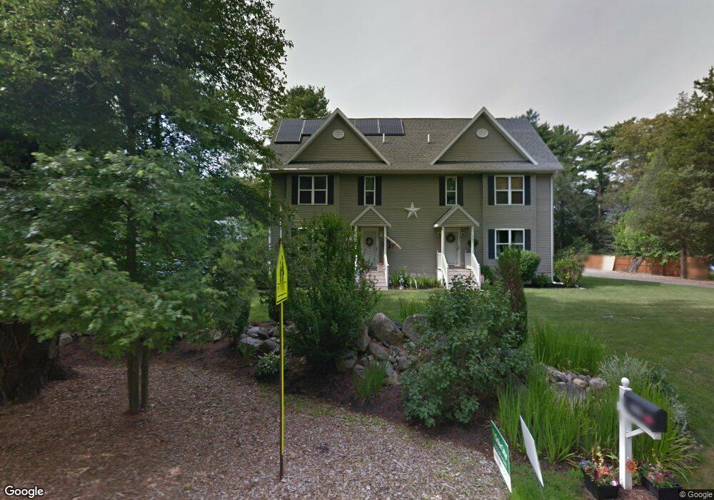
705 Auburn St Unit 1 Whitman, MA 02382
Estimated Value: $456,454 - $539,000
3
Beds
2
Baths
1,468
Sq Ft
$339/Sq Ft
Est. Value
About This Home
This home is located at 705 Auburn St Unit 1, Whitman, MA 02382 and is currently estimated at $497,114, approximately $338 per square foot. 705 Auburn St Unit 1 is a home located in Plymouth County with nearby schools including Trinity Catholic Academy and Cardinal Spellman High School.
Ownership History
Date
Name
Owned For
Owner Type
Purchase Details
Closed on
Jul 30, 2007
Sold by
Elfkor Ng Llc and Korzec Colin Michael
Bought by
Macphelemy Amanda Rose and Johnson Derrick Leon
Current Estimated Value
Purchase Details
Closed on
May 30, 2007
Sold by
Elfko Ng Llc and Corrigan Frederick C
Bought by
Johnson Derrick Leon and Macphelemy Amanda Rose
Home Financials for this Owner
Home Financials are based on the most recent Mortgage that was taken out on this home.
Original Mortgage
$288,650
Interest Rate
6.24%
Mortgage Type
Purchase Money Mortgage
Create a Home Valuation Report for This Property
The Home Valuation Report is an in-depth analysis detailing your home's value as well as a comparison with similar homes in the area
Home Values in the Area
Average Home Value in this Area
Purchase History
| Date | Buyer | Sale Price | Title Company |
|---|---|---|---|
| Macphelemy Amanda Rose | $297,000 | -- | |
| Johnson Derrick Leon | $297,600 | -- |
Source: Public Records
Mortgage History
| Date | Status | Borrower | Loan Amount |
|---|---|---|---|
| Previous Owner | Johnson Derrick Leon | $288,650 |
Source: Public Records
Tax History Compared to Growth
Tax History
| Year | Tax Paid | Tax Assessment Tax Assessment Total Assessment is a certain percentage of the fair market value that is determined by local assessors to be the total taxable value of land and additions on the property. | Land | Improvement |
|---|---|---|---|---|
| 2025 | $5,176 | $394,500 | $0 | $394,500 |
| 2024 | $4,721 | $370,600 | $0 | $370,600 |
| 2023 | $5,172 | $381,100 | $0 | $381,100 |
| 2022 | $4,918 | $337,800 | $0 | $337,800 |
| 2021 | $4,600 | $296,800 | $0 | $296,800 |
| 2020 | $4,319 | $272,500 | $0 | $272,500 |
| 2019 | $4,191 | $272,500 | $0 | $272,500 |
| 2018 | $4,419 | $276,000 | $0 | $276,000 |
| 2017 | $4,162 | $276,000 | $0 | $276,000 |
| 2016 | $4,125 | $264,600 | $0 | $264,600 |
| 2015 | $4,031 | $258,200 | $0 | $258,200 |
Source: Public Records
Map
Nearby Homes
- 728 Auburn St Unit F6
- 534 Hogg Memorial Dr
- 618 Auburn St
- 307 Homeland Dr
- 262 Homeland Dr
- 205 Bedford St
- 88 Woodlawn Cir
- 1121 Auburn St
- 604 Bedford St Unit 5
- 277 School St
- 24 Churchill Ave
- 70 Surrey Ln
- 70 Surrey Ln
- 848 N Bedford St Phase III
- 848 N Bedford St Phase IV
- 848 N
- 848 N Bedford St
- 782 Bedford St
- 150 Harvard St
- 8 Wild Turkey Ln
- 705 Auburn St
- 705 Auburn St Unit 705
- 703 Auburn St
- 703 Auburn St Unit 2
- 725 Auburn St
- 679 Auburn St
- 677 Auburn St
- 735 Auburn St
- 769 Auburn St
- 601 Hogg Memorial Dr
- 671 Auburn St
- 591 Hogg Memorial Dr
- 581 Hogg Memorial Dr
- 672 Auburn St
- 573 Hogg Memorial Dr
- 662 Auburn St
- 563 Hogg Memorial Dr
- 606 Hogg Memorial Dr
- 596 Hogg Memorial Dr
- 643 Auburn St