Estimated Value: $78,000 - $111,000
2
Beds
1
Bath
1,092
Sq Ft
$83/Sq Ft
Est. Value
About This Home
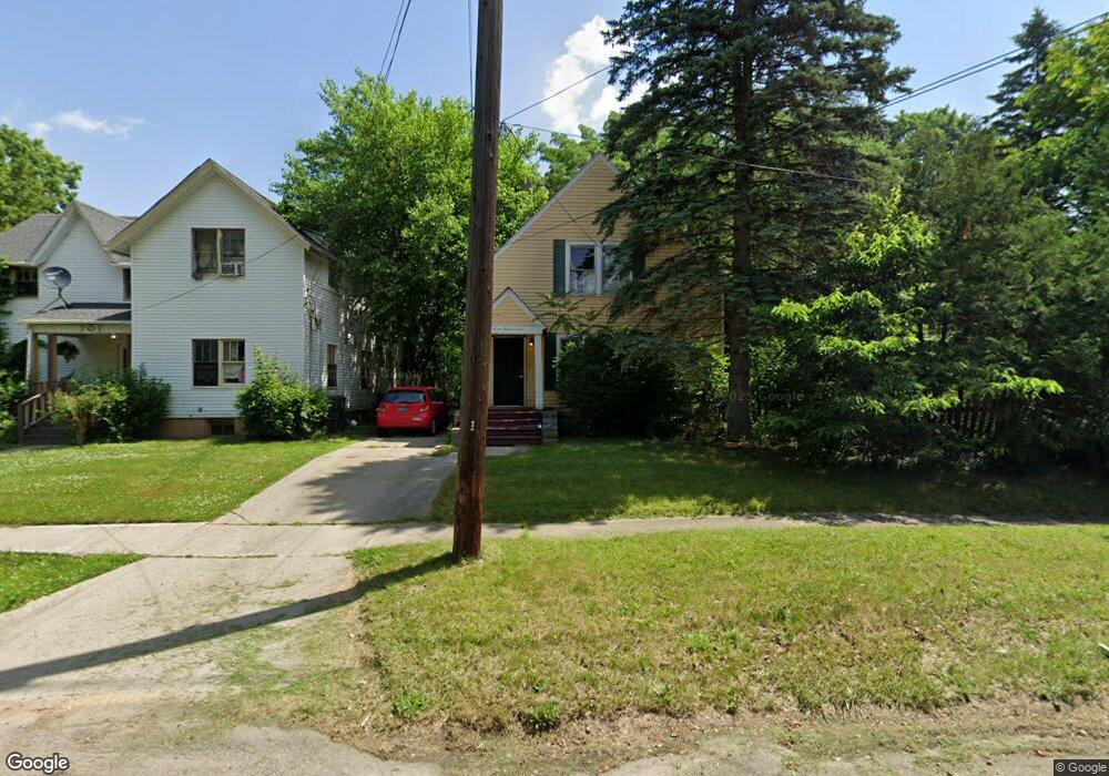
This home is located at 705 Avon St, Flint, MI 48503 and is currently estimated at $90,846, approximately $83 per square foot. 705 Avon St is a home located in Genesee County with nearby schools including Pierce Elementary School, Flint Cultural Center Academy, and WAY Academy of Flint.
Ownership History
Date
Name
Owned For
Owner Type
Purchase Details
Closed on
Aug 14, 2019
Sold by
Brownfield Dennis and Letterman Rebecca
Bought by
Tipper Karen and Tipper Jessica
Current Estimated Value
Purchase Details
Closed on
Sep 11, 2006
Sold by
Nagy Kevin M and Lewis Debra E
Bought by
Brownfield Dennis and Letterman Rebecca
Purchase Details
Closed on
Jun 23, 2006
Sold by
Nagy Kevin M and Lewis Debra E
Bought by
Brownfield Dennis and Letterman Rebecca
Home Financials for this Owner
Home Financials are based on the most recent Mortgage that was taken out on this home.
Original Mortgage
$59,300
Interest Rate
8%
Mortgage Type
Seller Take Back
Create a Home Valuation Report for This Property
The Home Valuation Report is an in-depth analysis detailing your home's value as well as a comparison with similar homes in the area
Home Values in the Area
Average Home Value in this Area
Purchase History
| Date | Buyer | Sale Price | Title Company |
|---|---|---|---|
| Tipper Karen | $23,750 | None Available | |
| Brownfield Dennis | $23,200 | None Available | |
| Brownfield Dennis | $82,500 | None Available |
Source: Public Records
Mortgage History
| Date | Status | Borrower | Loan Amount |
|---|---|---|---|
| Previous Owner | Brownfield Dennis | $59,300 |
Source: Public Records
Tax History
| Year | Tax Paid | Tax Assessment Tax Assessment Total Assessment is a certain percentage of the fair market value that is determined by local assessors to be the total taxable value of land and additions on the property. | Land | Improvement |
|---|---|---|---|---|
| 2025 | $1,833 | $35,900 | $0 | $0 |
| 2024 | $1,683 | $30,400 | $0 | $0 |
| 2023 | $1,632 | $27,700 | $0 | $0 |
| 2022 | $0 | $21,600 | $0 | $0 |
| 2021 | $1,662 | $21,300 | $0 | $0 |
| 2020 | $1,513 | $19,000 | $0 | $0 |
| 2019 | $832 | $18,500 | $0 | $0 |
| 2018 | $815 | $15,900 | $0 | $0 |
| 2017 | $795 | $0 | $0 | $0 |
| 2016 | $790 | $0 | $0 | $0 |
| 2015 | -- | $0 | $0 | $0 |
| 2014 | -- | $0 | $0 | $0 |
| 2012 | -- | $10,400 | $0 | $0 |
Source: Public Records
Map
Nearby Homes
- 915 E Court St
- 915 E Court #206 St Unit 206
- 621 Pierson St
- 710 Pierson St
- 915 E 8th St
- 410 E 4th St
- 314 E 4th St
- A Avenue
- 1210 Blanchard Ave
- 1379 Washington Ave
- 1701 Park St
- 211 W 5th St
- 1720 Park St
- 1510 S Franklin Ave
- 2013 E Court St
- 1216 Minnesota Ave
- 1114 W Vernon Dr
- 2119 Mountain Ave
- 1609 Ohio Ave
- 1215 S Grand Traverse St
Your Personal Tour Guide
Ask me questions while you tour the home.