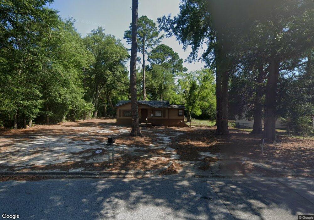
705 Bobbitt Dr Albany, GA 31705
Dixie Heights NeighborhoodEstimated Value: $49,000 - $76,000
2
Beds
1
Bath
660
Sq Ft
$94/Sq Ft
Est. Value
About This Home
This home is located at 705 Bobbitt Dr, Albany, GA 31705 and is currently estimated at $62,368, approximately $94 per square foot. 705 Bobbitt Dr is a home located in Dougherty County with nearby schools including Morningside Elementary School, Southside Middle School, and Monroe High School.
Ownership History
Date
Name
Owned For
Owner Type
Purchase Details
Closed on
Feb 10, 2025
Sold by
Mccray Alfona
Bought by
Gonzalez Sergio David Sanchez and Pascual Yeny Magaly
Current Estimated Value
Purchase Details
Closed on
Aug 10, 2016
Sold by
George R
Bought by
Mccray Alfonya
Purchase Details
Closed on
May 25, 2004
Sold by
Teachey George R
Bought by
Teachey George R Trustee To The G T Trus
Purchase Details
Closed on
May 3, 1994
Sold by
Blackshear Charles Daniel
Bought by
Teachey George R
Purchase Details
Closed on
Dec 14, 1989
Sold by
Blackshear C Dan
Bought by
Blackshear Charles D
Purchase Details
Closed on
Sep 24, 1975
Bought by
Blackshear C Dan
Create a Home Valuation Report for This Property
The Home Valuation Report is an in-depth analysis detailing your home's value as well as a comparison with similar homes in the area
Home Values in the Area
Average Home Value in this Area
Purchase History
| Date | Buyer | Sale Price | Title Company |
|---|---|---|---|
| Gonzalez Sergio David Sanchez | $6,500 | -- | |
| Mccray Alfonya | $8,000 | -- | |
| Teachey George R Trustee To The G T Trus | -- | -- | |
| Teachey George R | $11,300 | -- | |
| Blackshear Charles D | -- | -- | |
| Blackshear C Dan | -- | -- |
Source: Public Records
Tax History Compared to Growth
Tax History
| Year | Tax Paid | Tax Assessment Tax Assessment Total Assessment is a certain percentage of the fair market value that is determined by local assessors to be the total taxable value of land and additions on the property. | Land | Improvement |
|---|---|---|---|---|
| 2024 | $204 | $4,280 | $1,960 | $2,320 |
| 2023 | $199 | $4,280 | $1,960 | $2,320 |
| 2022 | $200 | $4,280 | $1,960 | $2,320 |
| 2021 | $186 | $4,280 | $1,960 | $2,320 |
| 2020 | $186 | $4,280 | $1,960 | $2,320 |
| 2019 | $187 | $4,280 | $1,960 | $2,320 |
| 2018 | $228 | $5,200 | $1,960 | $3,240 |
| 2017 | $131 | $5,200 | $1,960 | $3,240 |
| 2016 | $212 | $5,200 | $1,960 | $3,240 |
| 2015 | $234 | $5,720 | $1,960 | $3,760 |
| 2014 | $210 | $5,200 | $1,440 | $3,760 |
Source: Public Records
Map
Nearby Homes
- 1102 Van Deman St
- 1013 Crawford Dr
- 1011 Crawford Dr
- 502 Mitchell Ave
- 1304 Mobile Ave
- 401 Mitchell Ave
- 939 Crawford Dr
- 916 Crawford Dr
- 911 Mercedes St
- 925 Mercedes St
- 113 Morningside Dr
- 111 Morningside Dr
- 811 S Maple St
- 1401 E Waddell Ave
- 1400 E Lincoln Ave
- 1411 E Gordon Ave
- 608 Cason St
- 1408 E Mercer Ave
- 403 Farkas Ln
- 410 Cason St
- 707 Bobbitt Dr
- 702 Bobbitt Dr
- 704 Bobbitt Dr
- 709 Bobbitt Dr
- 706 Bobbitt Dr
- 700 Bobbitt Dr
- 700 Bobbitt Dr
- 708 Bobbitt Dr
- 921 Mobile Ave
- 905 Van Deman St
- 919 Mobile Ave
- 915 Van Deman St
- 917 Van Deman St
- 913 Van Deman St
- 906 Van Deman St
- 712 Bobbitt Dr
- 0 Mobile Ave
- 908 Van Deman St
- 917 Mobile Ave
- 1209 Crawford Dr