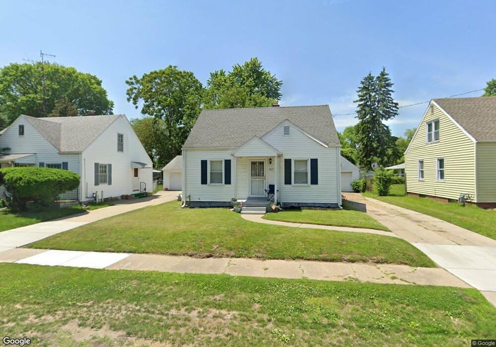
705 Broer Ave Toledo, OH 43607
Scott Park NeighborhoodEstimated Value: $78,156 - $82,000
2
Beds
1
Bath
722
Sq Ft
$111/Sq Ft
Est. Value
About This Home
This home is located at 705 Broer Ave, Toledo, OH 43607 and is currently estimated at $80,039, approximately $110 per square foot. 705 Broer Ave is a home located in Lucas County with nearby schools including Keyser Elementary School, Rogers High School, and Victory Academy of Toledo.
Ownership History
Date
Name
Owned For
Owner Type
Purchase Details
Closed on
Aug 6, 2021
Sold by
Sloan Larry A and Larry And Joyce Sloan Living T
Bought by
Green Valley Property Management Llc
Current Estimated Value
Purchase Details
Closed on
Apr 26, 2019
Sold by
Sloan Larry A & Joyce Trustees Of The Larry
Bought by
Sloan Larry A Trustee Of The Larry
Purchase Details
Closed on
Apr 25, 2018
Sold by
Sloan Larry A
Bought by
Sloan Larry A and Sloan Joyce
Purchase Details
Closed on
Sep 8, 2016
Sold by
Sloan Claude E
Bought by
Sloan Larry A
Create a Home Valuation Report for This Property
The Home Valuation Report is an in-depth analysis detailing your home's value as well as a comparison with similar homes in the area
Home Values in the Area
Average Home Value in this Area
Purchase History
| Date | Buyer | Sale Price | Title Company |
|---|---|---|---|
| Green Valley Property Management Llc | $55,000 | Louisville Ttl Agcy For N W | |
| Sloan Larry A Trustee Of The Larry | -- | -- | |
| Sloan Larry A | -- | None Available | |
| Sloan Larry A | -- | None Available |
Source: Public Records
Tax History
| Year | Tax Paid | Tax Assessment Tax Assessment Total Assessment is a certain percentage of the fair market value that is determined by local assessors to be the total taxable value of land and additions on the property. | Land | Improvement |
|---|---|---|---|---|
| 2025 | -- | $20,020 | $5,600 | $14,420 |
| 2024 | $719 | $20,020 | $5,600 | $14,420 |
| 2023 | $1,172 | $16,065 | $3,395 | $12,670 |
| 2022 | $1,152 | $16,065 | $3,395 | $12,670 |
| 2021 | $1,191 | $16,065 | $3,395 | $12,670 |
| 2020 | $1,261 | $14,945 | $3,115 | $11,830 |
| 2019 | $1,223 | $14,945 | $3,115 | $11,830 |
| 2018 | $922 | $14,945 | $3,115 | $11,830 |
| 2017 | $1,226 | $14,595 | $3,045 | $11,550 |
| 2016 | $1,212 | $41,700 | $8,700 | $33,000 |
| 2015 | $624 | $41,700 | $8,700 | $33,000 |
| 2014 | $368 | $14,600 | $3,050 | $11,550 |
| 2013 | $368 | $14,600 | $3,050 | $11,550 |
Source: Public Records
Map
Nearby Homes
- 714 Brookley Blvd
- 712 Underwood Ave
- 2925 Avondale Ave
- 834 Broer Ave
- 820 MacKow Dr
- 508 Ascot Ave
- 615 Cuthbert Rd
- 1125 Secor Rd
- 710 N Byrne Rd
- 336 Conrad Ave
- 823 N Byrne Rd
- 1408 Roosevelt Ave
- 913 Coventry Ave
- 811 N University Ave
- 824 N University Ave
- 1814 Alvin St
- 1901 Alvin St
- 3816 Loch Lomond Ave
- 1917 Alvin St
- 1732 Evansdale Ave
Your Personal Tour Guide
Ask me questions while you tour the home.