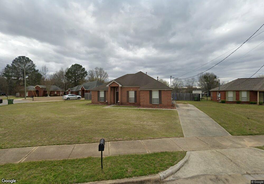
705 Brookland Curve Montgomery, AL 36117
East Montgomery NeighborhoodEstimated Value: $194,000 - $205,000
3
Beds
2
Baths
1,661
Sq Ft
$119/Sq Ft
Est. Value
About This Home
This home is located at 705 Brookland Curve, Montgomery, AL 36117 and is currently estimated at $198,287, approximately $119 per square foot. 705 Brookland Curve is a home with nearby schools including William Silas Garrett Elementary School, Goodwyn Middle School, and Dr. Percy L. Julian High School.
Ownership History
Date
Name
Owned For
Owner Type
Purchase Details
Closed on
Sep 26, 2012
Sold by
Tucker Alvin and Tucker Tamila Shantel
Bought by
Pettway Smith Tabitha and Smith Quinnard
Current Estimated Value
Home Financials for this Owner
Home Financials are based on the most recent Mortgage that was taken out on this home.
Original Mortgage
$127,645
Outstanding Balance
$88,782
Interest Rate
3.68%
Mortgage Type
FHA
Estimated Equity
$109,505
Purchase Details
Closed on
Mar 31, 1999
Sold by
Rhodes Construction Company
Bought by
Tucker Alvin
Home Financials for this Owner
Home Financials are based on the most recent Mortgage that was taken out on this home.
Original Mortgage
$100,000
Interest Rate
6.82%
Create a Home Valuation Report for This Property
The Home Valuation Report is an in-depth analysis detailing your home's value as well as a comparison with similar homes in the area
Home Values in the Area
Average Home Value in this Area
Purchase History
| Date | Buyer | Sale Price | Title Company |
|---|---|---|---|
| Pettway Smith Tabitha | $130,000 | None Available | |
| Tucker Alvin | $104,500 | -- |
Source: Public Records
Mortgage History
| Date | Status | Borrower | Loan Amount |
|---|---|---|---|
| Open | Pettway Smith Tabitha | $127,645 | |
| Closed | Tucker Alvin | $100,000 |
Source: Public Records
Tax History Compared to Growth
Tax History
| Year | Tax Paid | Tax Assessment Tax Assessment Total Assessment is a certain percentage of the fair market value that is determined by local assessors to be the total taxable value of land and additions on the property. | Land | Improvement |
|---|---|---|---|---|
| 2025 | $847 | $18,090 | $2,500 | $15,590 |
| 2024 | $826 | $17,650 | $2,500 | $15,150 |
| 2023 | $826 | $17,290 | $2,500 | $14,790 |
| 2022 | $479 | $14,240 | $2,500 | $11,740 |
| 2021 | $429 | $12,880 | $0 | $0 |
| 2020 | $434 | $13,020 | $2,500 | $10,520 |
| 2019 | $416 | $12,520 | $2,500 | $10,020 |
| 2018 | $455 | $12,460 | $2,500 | $9,960 |
| 2017 | $399 | $24,120 | $5,000 | $19,120 |
| 2014 | $416 | $12,510 | $2,500 | $10,010 |
| 2013 | -- | $13,050 | $2,500 | $10,550 |
Source: Public Records
Map
Nearby Homes
- 6429 Sandy Ridge Curve
- 5728 Sweet Meadow Dr
- 1308 Dunbarton Rd
- 5805 Acacia Ct
- 5701 Bangor Ct
- 925 Brookland Curve
- 5821 Hyde Park Dr
- 6500 Sweet Gum Dr
- 709 Balfour Rd
- 767 N Burbank Dr
- 749 Amity Ln
- 6201 Dalford Dr
- 970 Countryside Ln
- 6241 Wares Ferry Rd
- 740 Havelock Ln
- 5737 Darien Dr
- 5743 Belleau Dr
- 6520 Pinebrook Dr
- 6104 Bald Cypress Ct
- 6119 Hinchcliff Rd
- 711 Brookland Curve
- 6454 Sandy Ridge Curve
- 717 Brookland Curve
- 704 Brookland Curve
- 6460 Sandy Ridge Curve
- 6441 Sandy Ridge Curve
- 716 Brookland Curve
- 6447 Sandy Ridge Curve
- 5817 Tall Timber Ct
- 5824 Clear Creek Ct
- 6435 Sandy Ridge Curve
- 6455 Sandy Ridge Curve
- 6463 Sandy Ridge Curve
- 722 Brookland Curve
- 5813 Tall Timber Ct
- 5820 Clear Creek Ct
- 5828 Clear Creek Ct
- 5816 Tall Timber Ct
- 728 Brookland Curve
- 6423 Sandy Ridge Curve