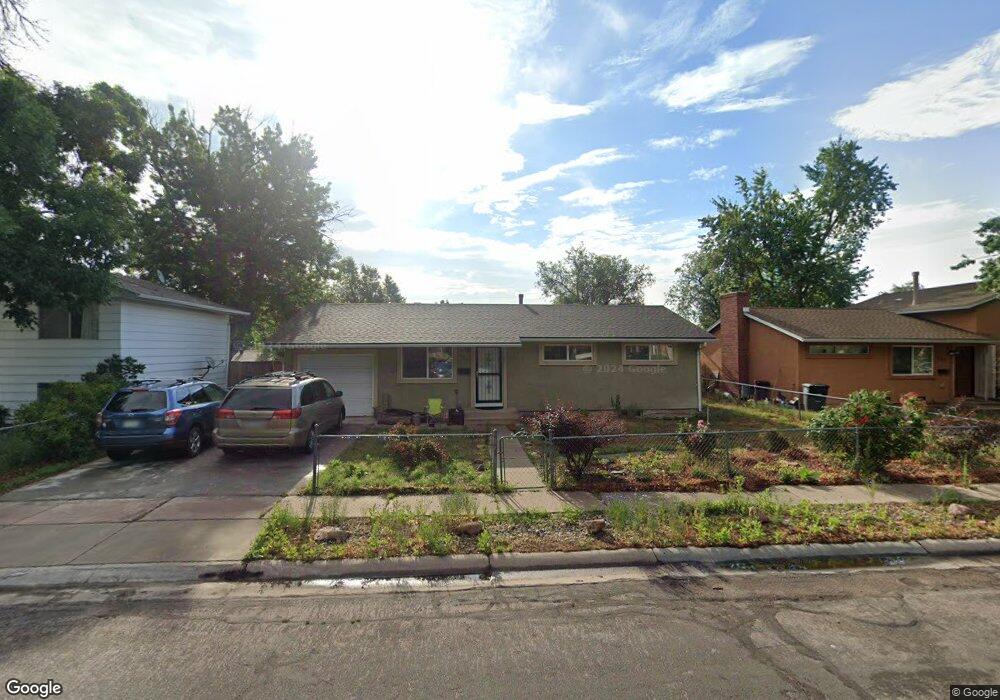
705 Bryce Dr Colorado Springs, CO 80910
Hillside NeighborhoodEstimated Value: $349,000 - $388,000
3
Beds
2
Baths
1,001
Sq Ft
$369/Sq Ft
Est. Value
About This Home
This home is located at 705 Bryce Dr, Colorado Springs, CO 80910 and is currently estimated at $369,586, approximately $369 per square foot. 705 Bryce Dr is a home located in El Paso County with nearby schools including Adams Elementary School, Galileo School Of Math And Science, and William J. Palmer High School.
Ownership History
Date
Name
Owned For
Owner Type
Purchase Details
Closed on
Feb 1, 2021
Sold by
Davis Willie and Davis Ida R
Bought by
Miller Nathan and Miller Donna
Current Estimated Value
Home Financials for this Owner
Home Financials are based on the most recent Mortgage that was taken out on this home.
Original Mortgage
$299,250
Outstanding Balance
$267,182
Interest Rate
2.6%
Mortgage Type
New Conventional
Estimated Equity
$102,404
Purchase Details
Closed on
Jan 29, 1999
Sold by
Jefferson Marie C
Bought by
Davis Willie and Davis Ida
Home Financials for this Owner
Home Financials are based on the most recent Mortgage that was taken out on this home.
Original Mortgage
$83,576
Interest Rate
10.49%
Mortgage Type
Purchase Money Mortgage
Purchase Details
Closed on
Oct 1, 1977
Bought by
Davis Willie and Davis Ida R
Create a Home Valuation Report for This Property
The Home Valuation Report is an in-depth analysis detailing your home's value as well as a comparison with similar homes in the area
Home Values in the Area
Average Home Value in this Area
Purchase History
| Date | Buyer | Sale Price | Title Company |
|---|---|---|---|
| Miller Nathan | $315,000 | Legacy Title Group Llc | |
| Davis Willie | $98,300 | -- | |
| Davis Willie | -- | -- |
Source: Public Records
Mortgage History
| Date | Status | Borrower | Loan Amount |
|---|---|---|---|
| Open | Miller Nathan | $299,250 | |
| Previous Owner | Davis Willie | $83,576 |
Source: Public Records
Tax History Compared to Growth
Tax History
| Year | Tax Paid | Tax Assessment Tax Assessment Total Assessment is a certain percentage of the fair market value that is determined by local assessors to be the total taxable value of land and additions on the property. | Land | Improvement |
|---|---|---|---|---|
| 2025 | $1,135 | $24,680 | -- | -- |
| 2024 | $1,024 | $24,830 | $3,180 | $21,650 |
| 2022 | $1,002 | $17,900 | $3,130 | $14,770 |
| 2021 | $665 | $18,420 | $3,220 | $15,200 |
| 2020 | $482 | $14,200 | $2,150 | $12,050 |
| 2019 | $479 | $14,200 | $2,150 | $12,050 |
| 2018 | $396 | $10,800 | $1,620 | $9,180 |
| 2017 | $751 | $10,800 | $1,620 | $9,180 |
| 2016 | $628 | $10,840 | $1,670 | $9,170 |
| 2015 | $626 | $10,840 | $1,670 | $9,170 |
| 2014 | $593 | $9,850 | $1,670 | $8,180 |
Source: Public Records
Map
Nearby Homes
- 807 Bryce Dr
- 609 Placid Rd
- 829 Hayden Dr
- 818 S Circle Dr
- 2119 Saranac Dr
- 810 Hayden Dr
- 810 Hutchinson Dr
- 931 Hayden Dr
- 2902 Airport Rd Unit 116
- 2902 Airport Rd Unit 204
- 2902 Airport Rd Unit 134
- 2205 Airport Rd
- 226 Bassett Dr
- 1219 Quivira Dr
- 901 Teal Ct
- 1081 Antrim Loop
- 1115 Rainier Dr
- 2815 Gomer Ave
- 706 Manitoba Dr
- 2624 Weir Ave