705 Burrisville Rd Centreville, MD 21617
Estimated Value: $458,000 - $539,000
--
Bed
2
Baths
1,808
Sq Ft
$277/Sq Ft
Est. Value
About This Home
This home is located at 705 Burrisville Rd, Centreville, MD 21617 and is currently estimated at $500,389, approximately $276 per square foot. 705 Burrisville Rd is a home located in Queen Anne's County with nearby schools including Kennard Elementary School, Centreville Middle School, and Queen Anne's County High School.
Ownership History
Date
Name
Owned For
Owner Type
Purchase Details
Closed on
May 18, 2005
Sold by
Jacobs Am and Jacobs A
Bought by
Forsyth Jamie H and Forsyth T Laurie L
Current Estimated Value
Home Financials for this Owner
Home Financials are based on the most recent Mortgage that was taken out on this home.
Original Mortgage
$261,000
Outstanding Balance
$136,960
Interest Rate
5.94%
Mortgage Type
Construction
Estimated Equity
$363,429
Purchase Details
Closed on
Feb 22, 1995
Sold by
Jacobs Amanda
Bought by
Jacobs Amanda and Cornish Vivian J
Create a Home Valuation Report for This Property
The Home Valuation Report is an in-depth analysis detailing your home's value as well as a comparison with similar homes in the area
Home Values in the Area
Average Home Value in this Area
Purchase History
| Date | Buyer | Sale Price | Title Company |
|---|---|---|---|
| Forsyth Jamie H | $233,000 | -- | |
| Jacobs Amanda | -- | -- |
Source: Public Records
Mortgage History
| Date | Status | Borrower | Loan Amount |
|---|---|---|---|
| Open | Forsyth Jamie H | $261,000 |
Source: Public Records
Tax History Compared to Growth
Tax History
| Year | Tax Paid | Tax Assessment Tax Assessment Total Assessment is a certain percentage of the fair market value that is determined by local assessors to be the total taxable value of land and additions on the property. | Land | Improvement |
|---|---|---|---|---|
| 2025 | $3,952 | $413,167 | $0 | $0 |
| 2024 | $3,771 | $394,000 | $154,400 | $239,600 |
| 2023 | $3,636 | $379,567 | $0 | $0 |
| 2022 | $3,500 | $365,133 | $0 | $0 |
| 2021 | $3,282 | $350,700 | $139,400 | $211,300 |
| 2020 | $3,282 | $335,967 | $0 | $0 |
| 2019 | $3,141 | $321,233 | $0 | $0 |
| 2018 | $3,000 | $306,500 | $139,400 | $167,100 |
| 2017 | $2,871 | $293,067 | $0 | $0 |
| 2016 | -- | $279,633 | $0 | $0 |
| 2015 | $3,002 | $266,200 | $0 | $0 |
| 2014 | $3,002 | $266,200 | $0 | $0 |
Source: Public Records
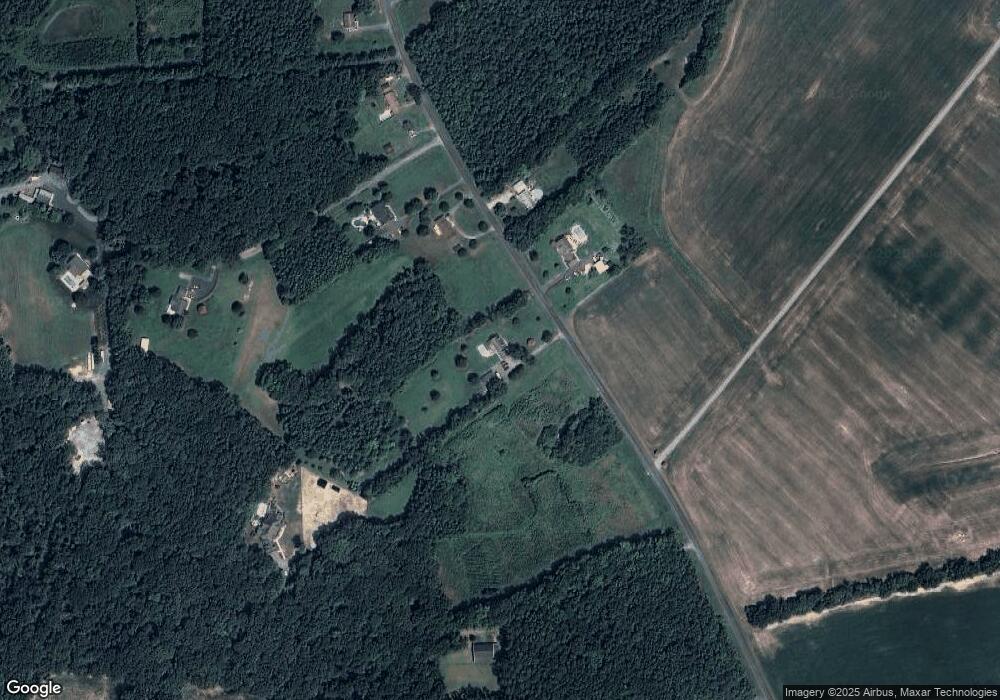
Map
Nearby Homes
- 1002 Burrisville Rd
- 322 Shrewsbury Farm Ln
- 0 Burrisville Rd Unit MDQA2011420
- 233 N Field Way
- 120 Brook Knoll Way
- 109 E Meadow Dr
- The Miles Plan at Northbrook
- 131 E Meadow Dr
- 105 Granard Ave
- 0 Hatchett Rd
- 143 Long Creek Way
- 210 Corsica Point Ln
- 144 Cool Meadow Dr
- 119 Watson Rd
- 217 Elm St
- LOT 4 Finley Creek Dr
- 704 Church Hill Rd
- 307 Old Line Dr
- 411 Corsica Neck Rd
- 126 Finley Creek Dr
- 709 Burrisville Rd
- 704 Burrisville Rd
- 715 Burrisville Rd
- 641 Burrisville Rd
- 716 Burrisville Rd
- 719 Burrisville Rd
- 725 Burrisville Rd
- 737 Burrisville Rd
- 200 and Tax ID 18030 Green Farm Ln
- 731 Burrisville Rd
- 804 Burrisville Rd
- 801 Burrisville Rd
- 205 Plain Dealing Farm Ln
- 825 Burrisville Rd
- 508 Burrisville Rd
- 903 Burrisville Rd
- 200 Plain Dealing Farm Ln
- 515 Burrisville Rd
- 184 Stowman Farm Ln
- 125 Hammer Run